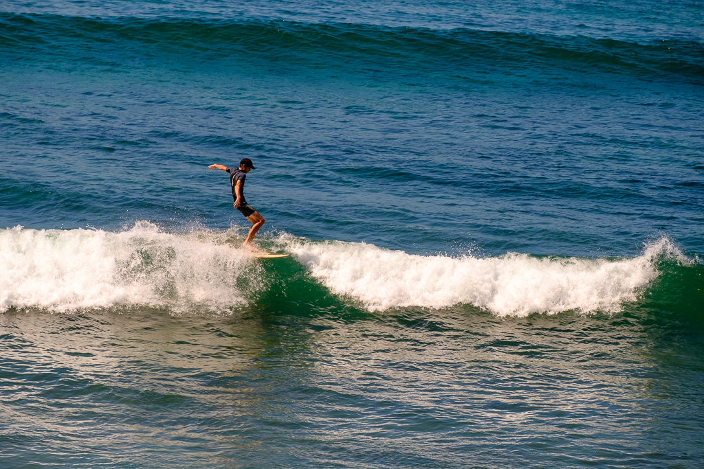
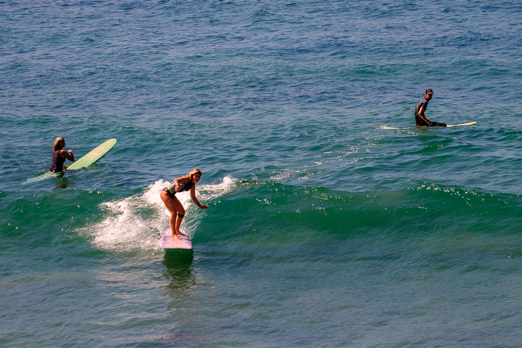
 If everybody had an ocean
Across the U. S. A.
Then everybody’d be surfin’
Like Californi-a…
Everybody’s gone surfin’
Surfin’ U.S.A.
“Surfin’ U.S.A.” (Beach Boys, 1963), lyrics by Brian Wilson
I am now back from an incredible trip to Cuba, and the travel blog is going back online. I’ll post some Cuba pix at some point, but I am still working my way through almost 2,000 pix – it’s a very photogenic place with very photogenic people.
Back in the summer and fall of last year I was doing a series of posts about places in Southern California in reasonable proximity of Route 66 as it works its way to its western terminus in Santa Monica, California. Where we left off in October was a journey up the Pacific coast with the theme being Southern California’s gorgeous beaches and coast. We got as far as Seal Beach which is the northernmost beach town (and beach) of Orange County.
With the Chicago posts concluded we will resume that journey northward and start out in the southwest corner of Los Angeles County at Long Beach. At the Queen Mary, to be precise. On October 31, 1967, the Cunard Line’s RMS Queen Mary made her final voyage and arrived at the port of Long Beach on December 9, 1967. She has been permanently moored there ever since. It’s a gorgeous, historic ship and definitely worth a trip to Long Beach to see. More info here.
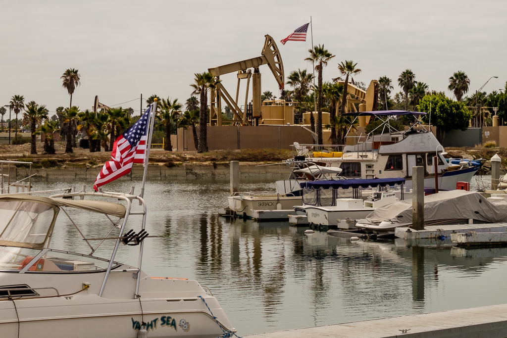
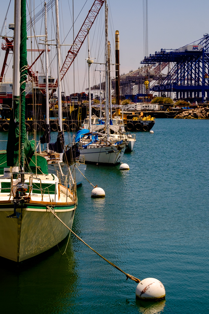
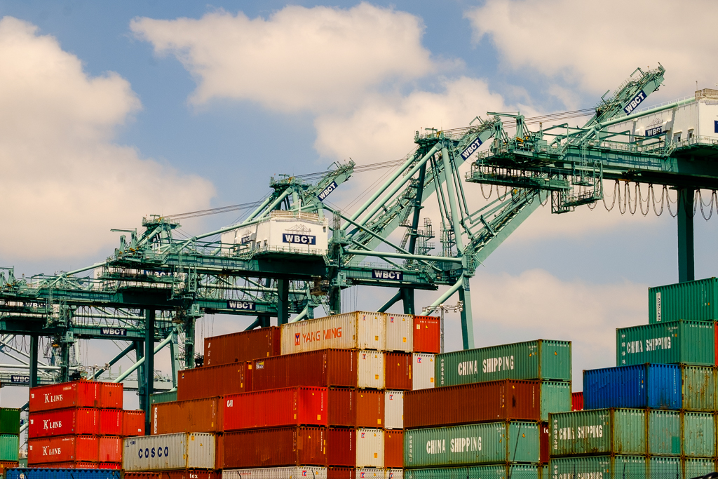
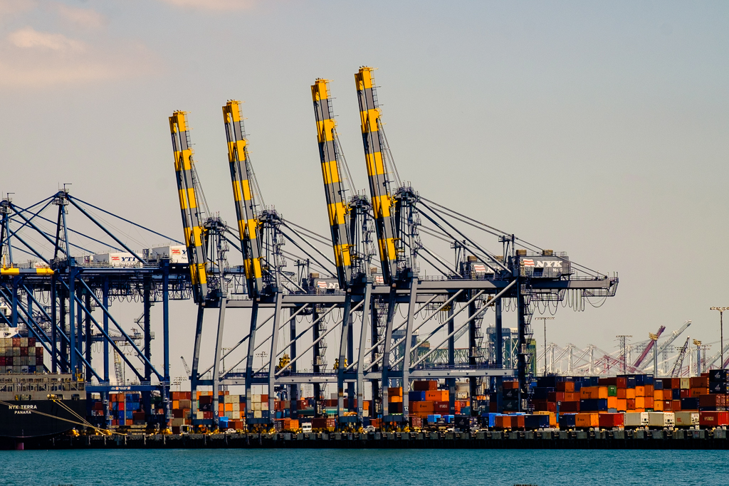
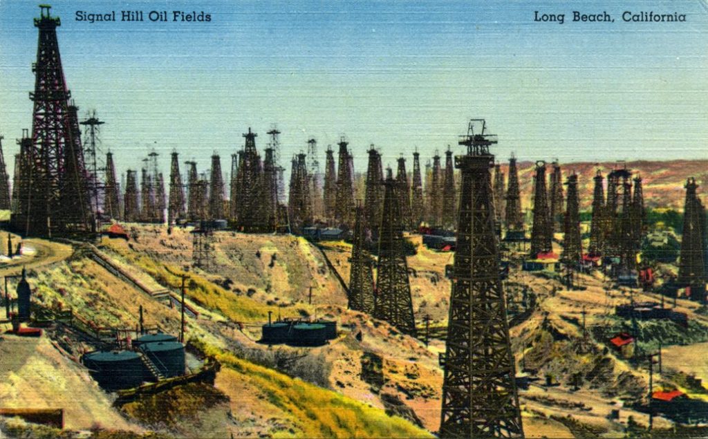
The Port of Los Angeles on San Pedro Bay is the busiest container port in the United States, and the neighboring Port of Long Beach is the second-busiest container port in the country. As is the case elsewhere in the LA area, it’s not uncommon to see oil pumps in Long Beach here and there. Now mostly depleted the Long Beach Oil Field was once one of the world’s richest. It doesn’t look like this now but check out this old postcard of the Signal Hill area of the city when the oil fields there were pumping incredible amounts of crude.
Another fantastic activity around there is a visit to Catalina Island. There are ferries from San Pedro (pictured) and Long Beach as well as Dana Point and Newport Beach in Orange County. Read more here. It takes about an hour by boat. Or…splurge and take a helicopter (15 minutes).
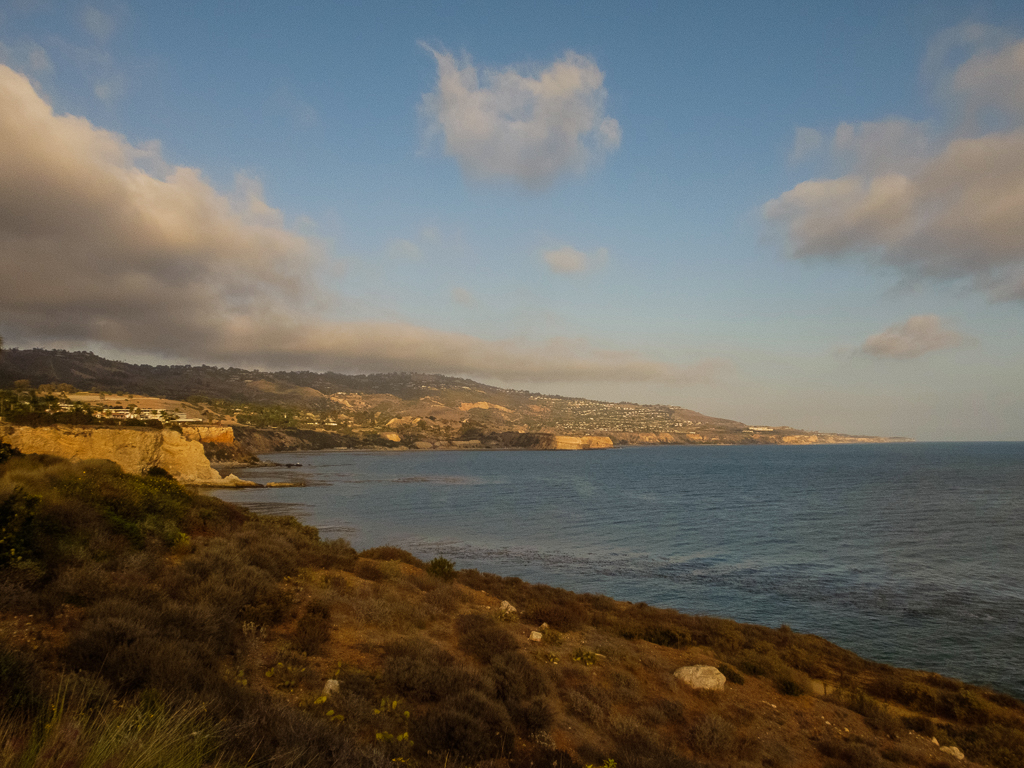
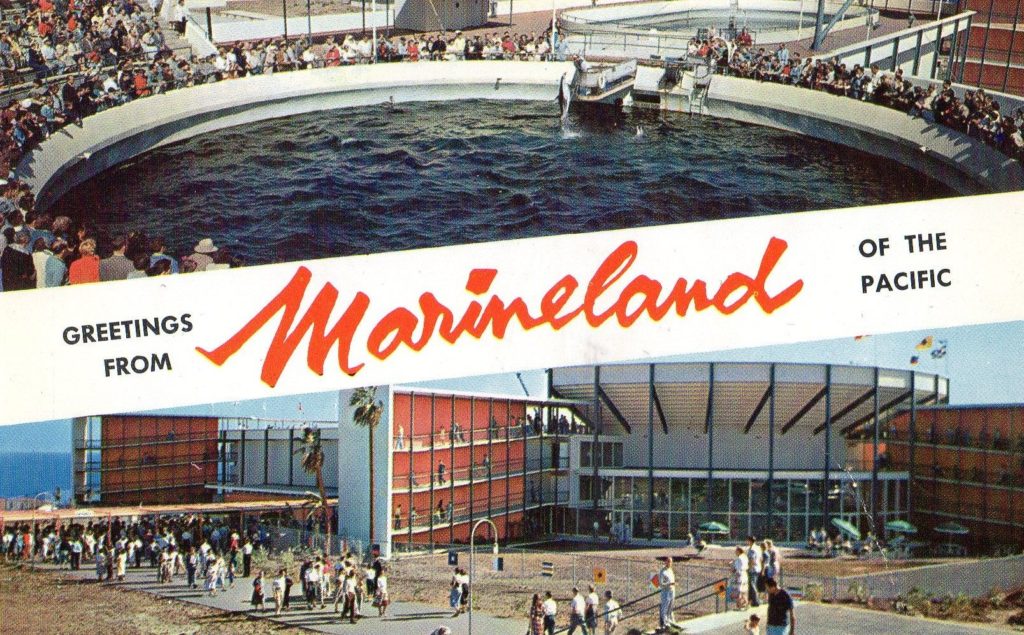
The next stop: the Palos Verdes Peninsula. Longtime Californians will remember an attraction at “PV” which was for our family one of the top Southern California destinations when we drove down in the station wagon (estate car) to see my grandmother and the other Southern California relatives: Marineland of the Pacific (1954 – 1987). Lots of good memories. (It was another era when I used to go there, and we were oblivious to the reality of life in captivity for the whales, orcas and dolphins as we were in relation to so many other things in that time of seeming innocence.)
I took the PV photo in this set at Point Vicente from the grounds of a resort hotel (the Terranea) right at the park site. I was there several times over the years for partner meetings and other corporate events. The main events were usually in the “Marineland ballroom” which along with a few other mentions at the resort seemed to be all that was left besides the memories. Ouch! From the little kid watching the whale show and getting splashed at Marineland (me) to the corporate finance lawyer (an older me) watching PowerPoint slides in the Marineland Ballroom about a new office somewhere or something like that…the whales were more fun to be perfectly honest.
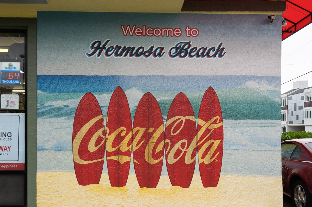
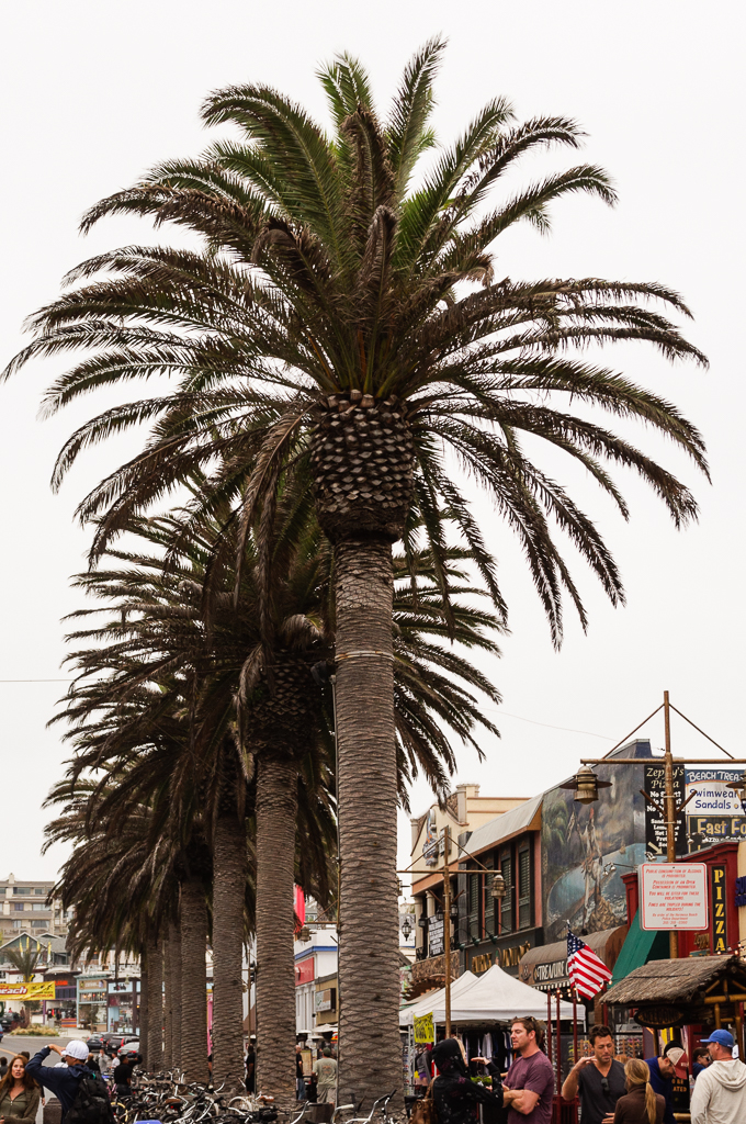
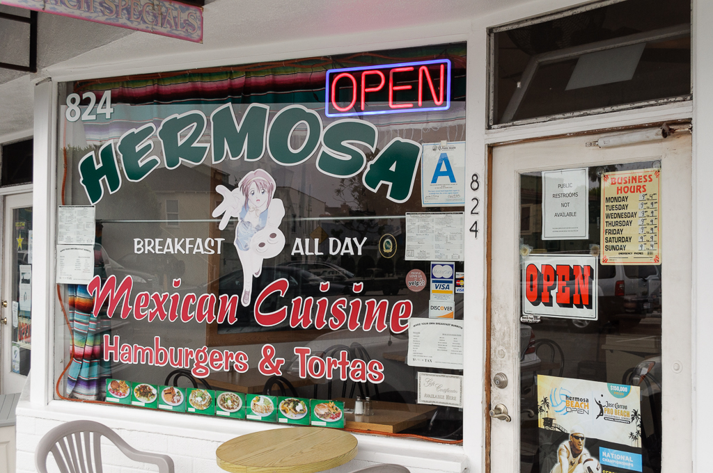
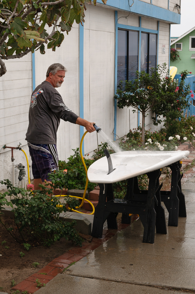
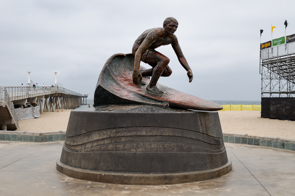
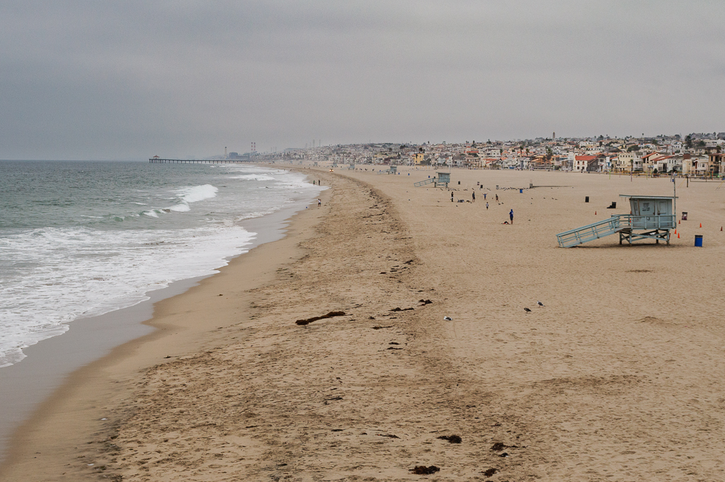
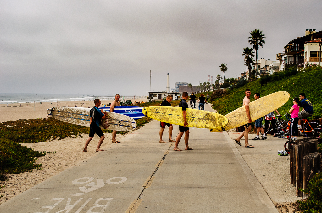
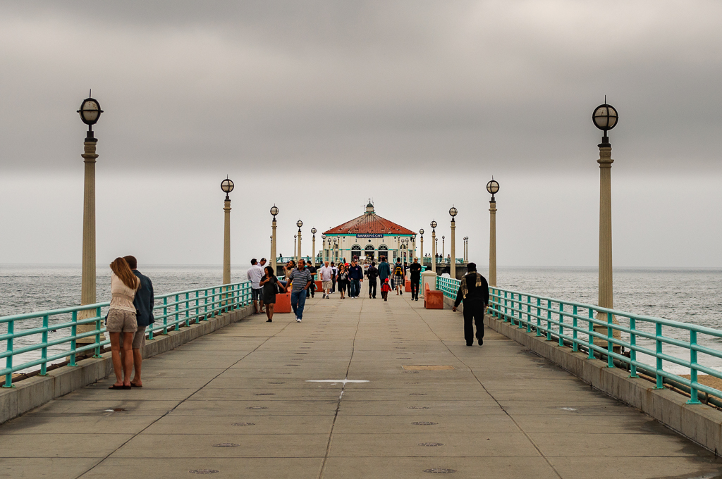
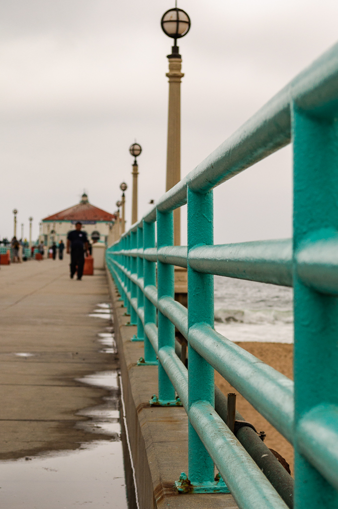
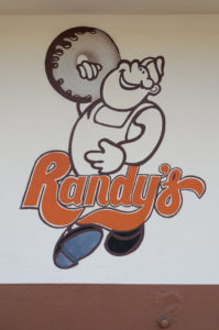
I digress. Our next stop will be the South Bay and the beach communities of Manhattan Beach and Hermosa Beach. Nearby Redondo Beach claims to be birthplace of surfing in California. We’ll then head for famous Venice Beach with a stop at Randy’s along the way. How many times have you seen that donut stand in movies and TV shows? I think too many to count. It’s a Southern California landmark. What a classic. It’s pretty close to the LA airport (LAX) right off I-405 in Inglewood. We need to jut inland to get around LAX which blocks our path up the coast.
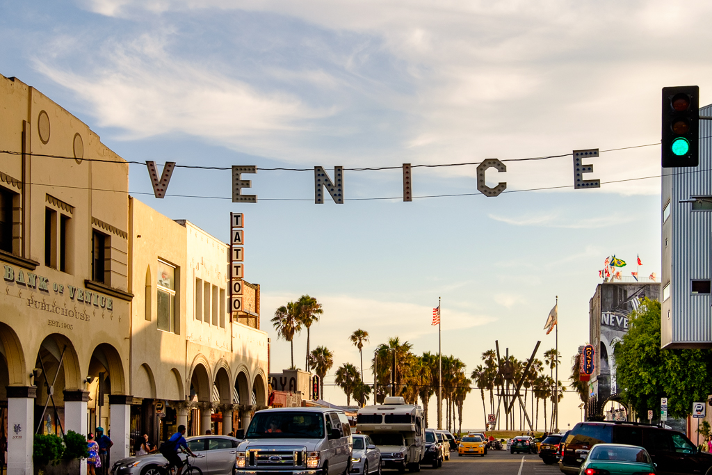
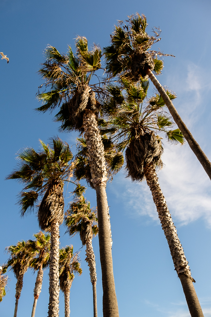
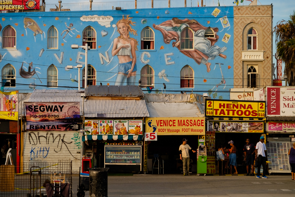
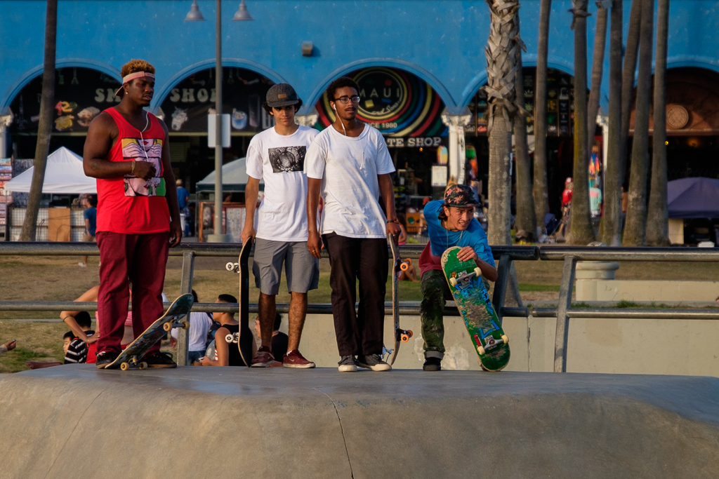
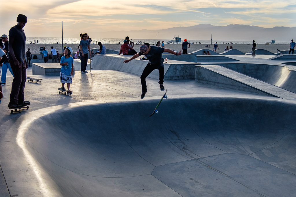
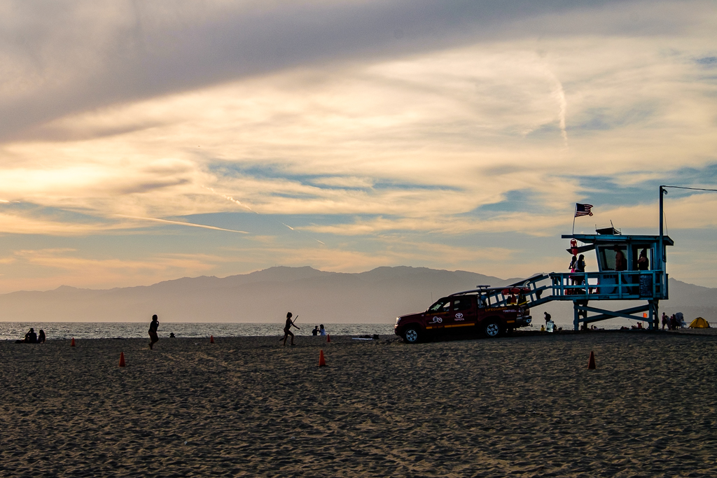
Back to the coast. After passing by Playa Del Ray and Marina Del Rey we’ll make our next stop at Venice. It’s a hoot. The boardwalk is over-the-top, there’s a great skating park, Muscle Beach is there and so is an impressively long fishing pier, there are lots of fine places to eat (including several choices for good Mexican as you might expect), and much more to see and do. It’s not as seedy as it used to be but still is a place of stark and sometimes heartbreaking contrasts like so much of my beloved California these days. Like nearby Santa Monica the uber-wealthy co-existing with the down-and-out (and, sadly, all too many out-and-outs which I mean compassionately).
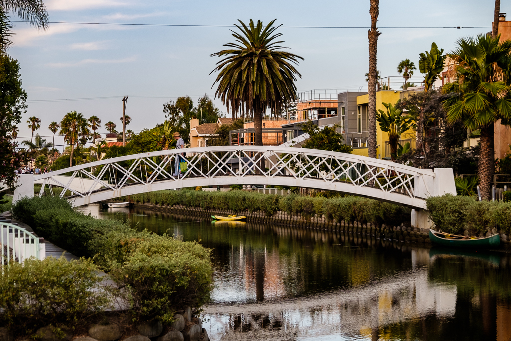
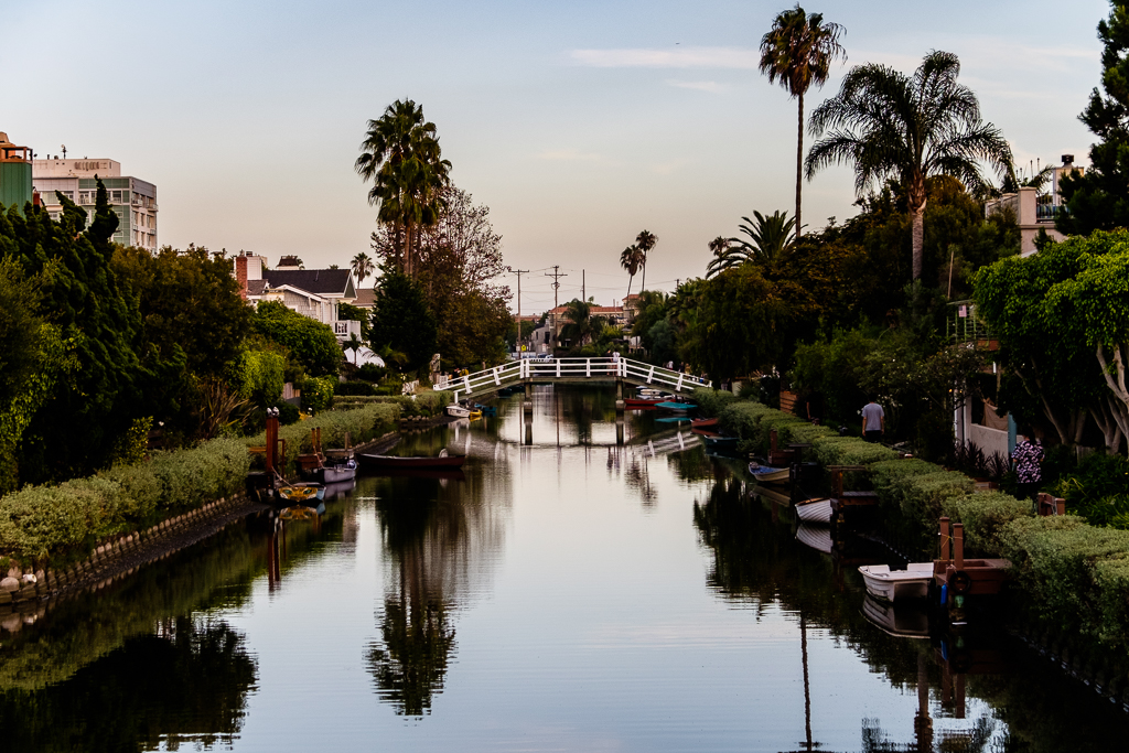
According to Wikipedia Venice (originally called “Venice of America”) was founded by tobacco millionaire Abbot Kinney in 1905 as a beach resort town. The resort area was called Ocean Park. Among other things, Kinney dug several miles of canals to drain the marshes for the residential area south of Ocean Park. Visitors could arrive there on the “Red Cars” of the Pacific Electric Railway from Los Angeles and Santa Monica.
Many of the canals have since been filled in but several canals survive to this day. You’ll see a couple of pix in this set from my walkabout there a few years ago. After a long period of neglect and disrepair the surviving canals have been renovated and are part of what’s now called the Venice Canal Historic District. Housing values around there have shot up, too, to say the least. As you can see in my photos, it’s all rather posh now and a far cry from what it looked like when I walked around there in the 70s and 80s (rather carefully given the crime rate there back then). This is a fantastic link with about an eight minute film on the history of the canal area; highly recommended.
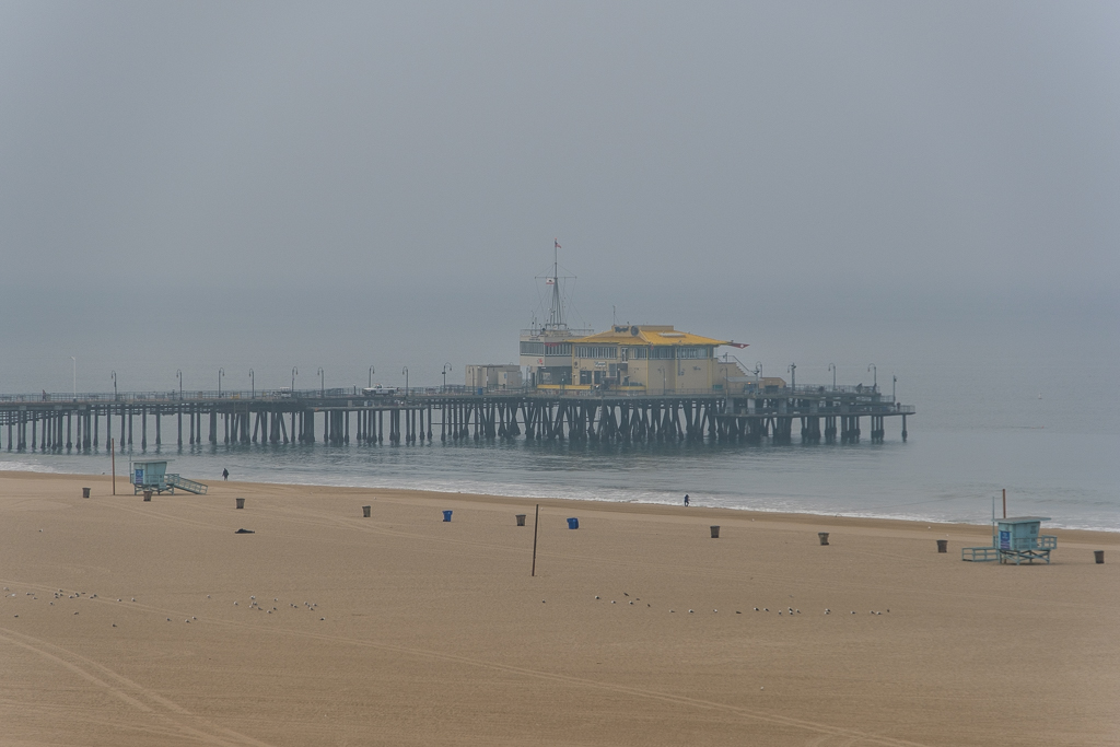
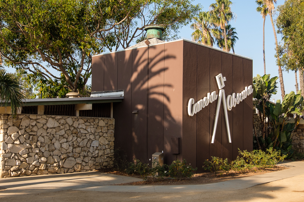
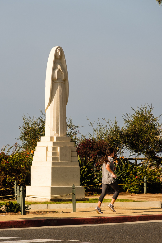
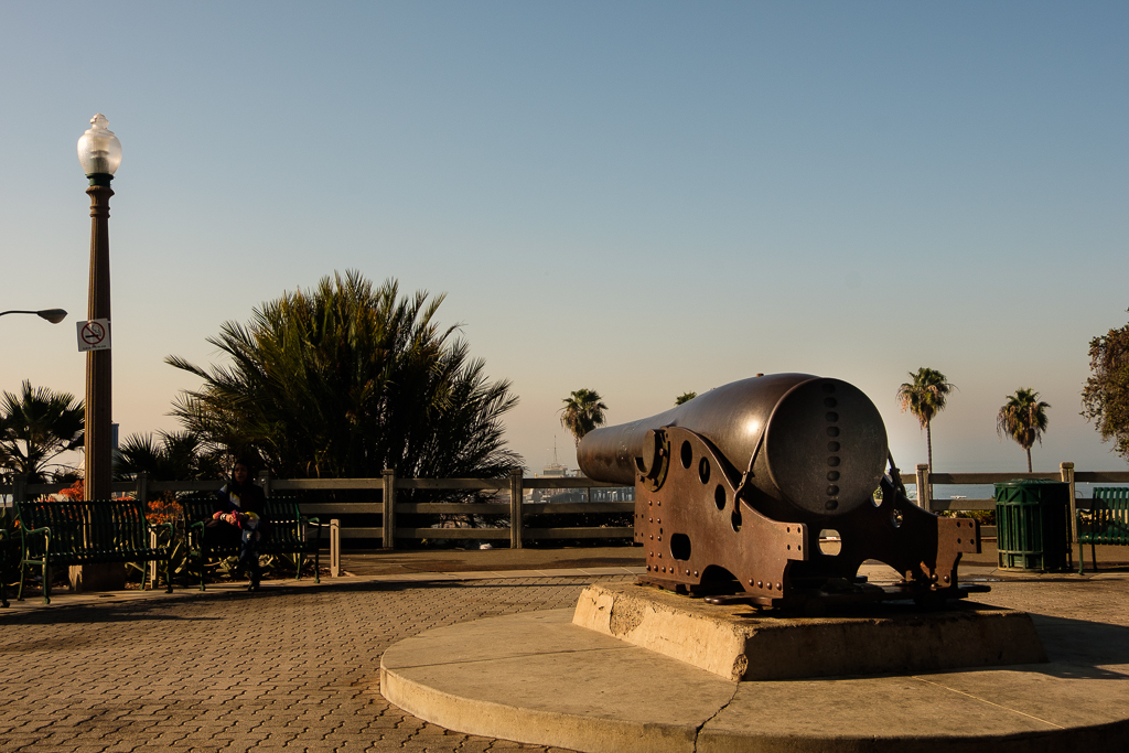
From Venice we’ll head up the coast to neighboring Santa Monica. They are very close to each other. In fact, one thing you can do is rent bikes at the beach in Santa Monica and ride to Venice Beach. For a lot of reasons, I would suggest staying in Santa Monica rather than Venice. For one thing, there are far more and better lodging choices in Santa Monica; the options in Venice are limited (although I had a great stay right at Venice Beach a few years ago).
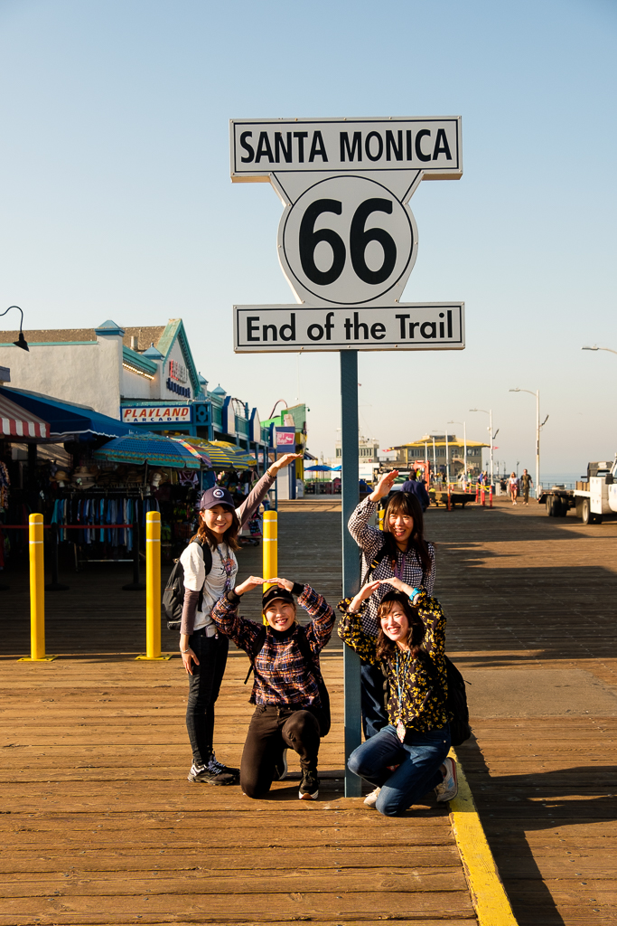
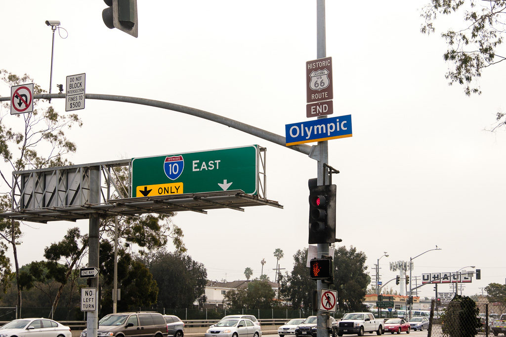
Back when Route 66 was still a numbered US highway, it ended in Santa Monica but not at the Santa Monica Pier. Actually, the end point was officially at the intersection of Lincoln Blvd. and Olympic Blvd. It is about five or six blocks to Ocean and the bluffs from there. These days it’s not much of a photo (see the pic immediately following this paragraph) and, in fact, a rather inglorious end to an extraordinary drive. The sign on the pier (below in this set) makes for much better Instagram shots eh? It wasn’t until 2009 – almost 25 years after the removal of Route 66 from the United States Highway System – that some local organizations in and around Santa Monica dedicated the Santa Monica Pier as the official western terminus of Route 66. The sign itself is a replica of a sign (supposedly a movie prop) that once mysteriously appeared (and later just as mysteriously disappeared) at the intersection of Ocean Ave. and Santa Monica Blvd. years ago.
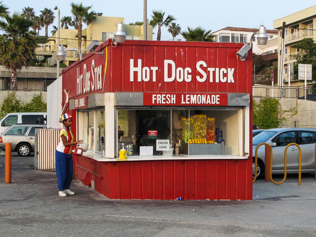
That’s an older pic of mine of the iconic Hot Dog On A Stick stand which has been there at the beach in Santa Monica since 1946 (by the original location of Muscle Beach). You have probably seen that hot dog stand in a lot of movies and TV shows, too.
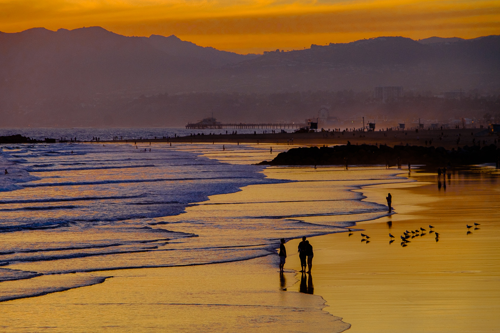
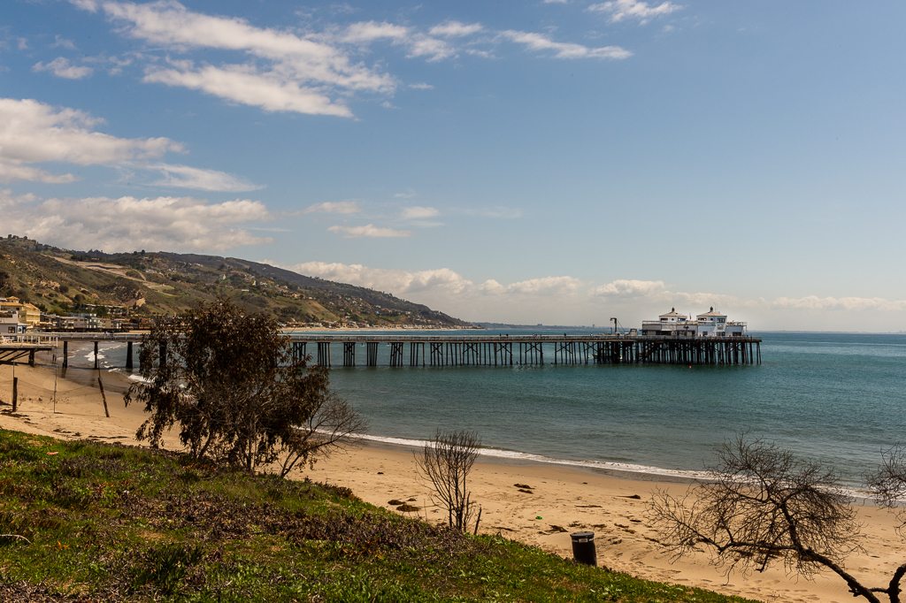
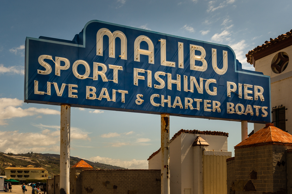
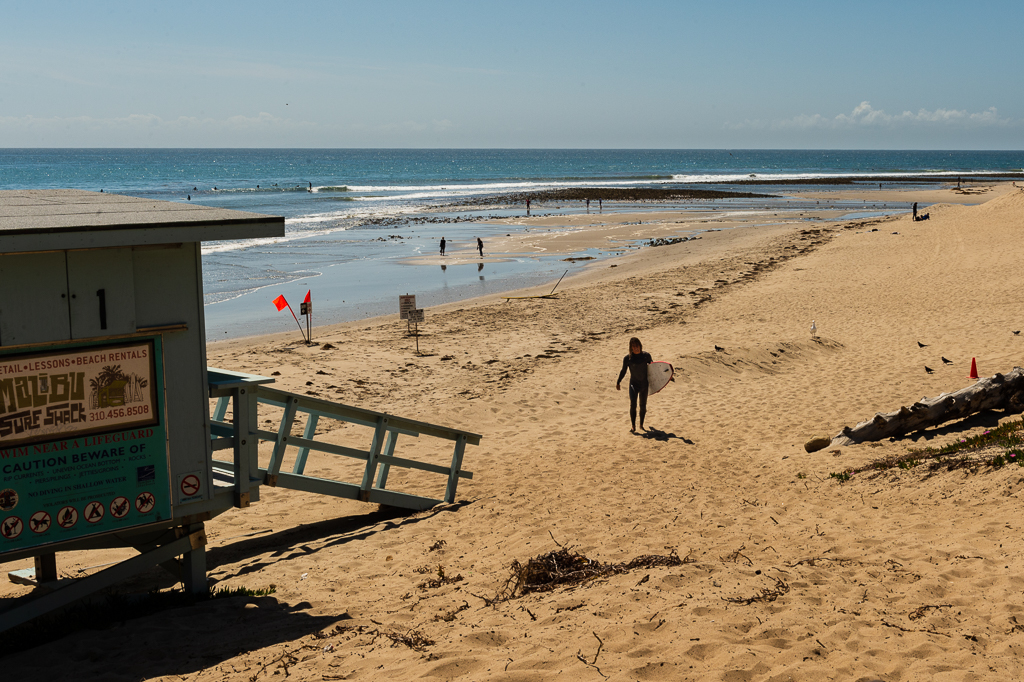
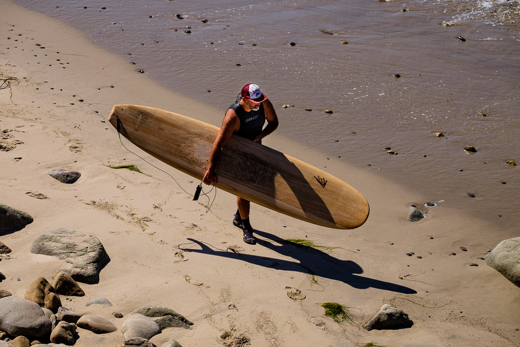
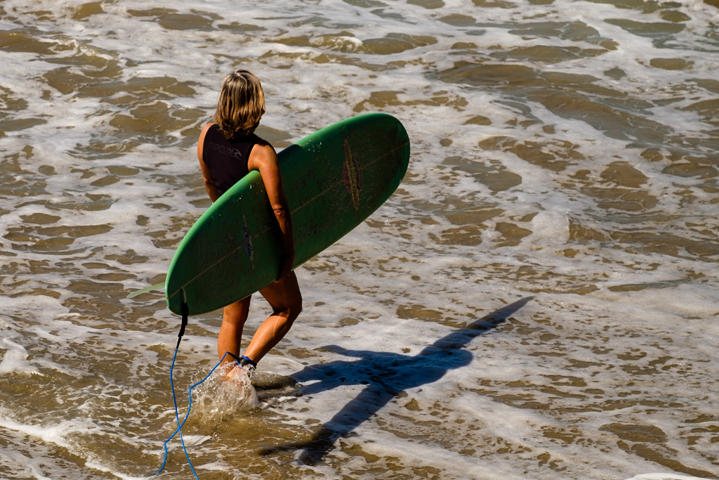
We’ll head north from Santa Monica on the “PCH” (Pacific Coast Highway) to Malibu and end up just north of there across the county line in the southwest corner of Ventura County for a few more surfing pix.
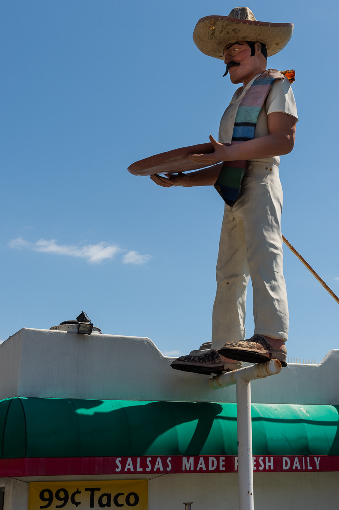
The Muffler Man (a/k/a “Taco Guy”) was at a Mexican dive called “La Salsa” in Malibu which I understand has since closed. I also included a photo in a Route 66 post back in 2017. As I think I mentioned then, I haven’t been to Malibu since its closure, and I have no idea whether Taco Guy is still there. LA friends and family, if anyone knows, please let me know.
The next post will take us from Oxnard in Ventura County all the way to Pismo Beach near San Luis Obispo which will conclude our Southern California beaches tour. It’s off to the San Joaquin Valley and the California heartland after that. Stay tuned.
Here is the set. Click on (or tap) an image to expand it (and use the arrow to the right on an expanded image to go through the set, if preferred over scrolling down in the post).
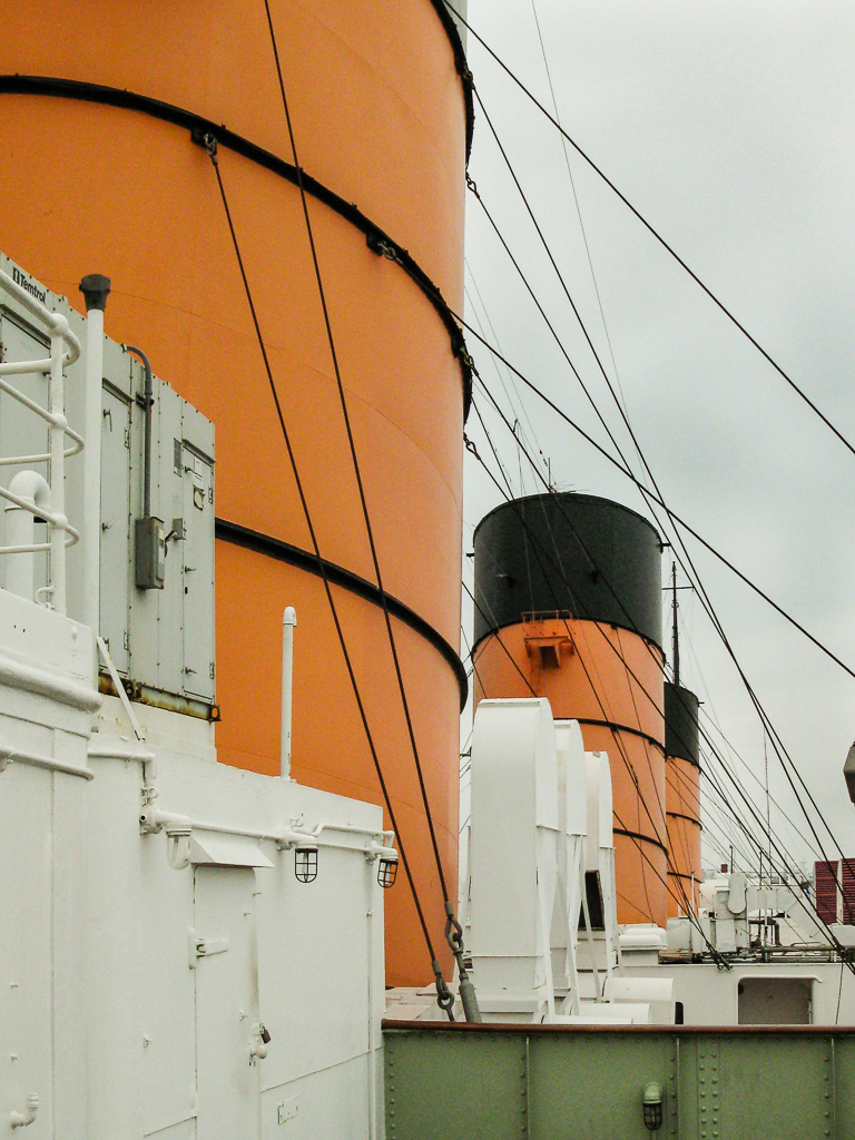
Cunard Line's RMS Queen Mary (launched 1934 and retired from service 1967), now moored at the Port of Long Beach
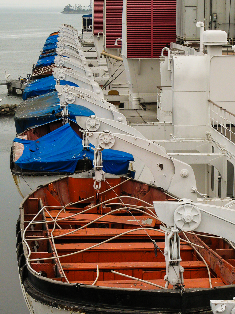
Cunard Line's RMS Queen Mary (launched 1934 and retired from service 1967), now moored at the Port of Long Beach
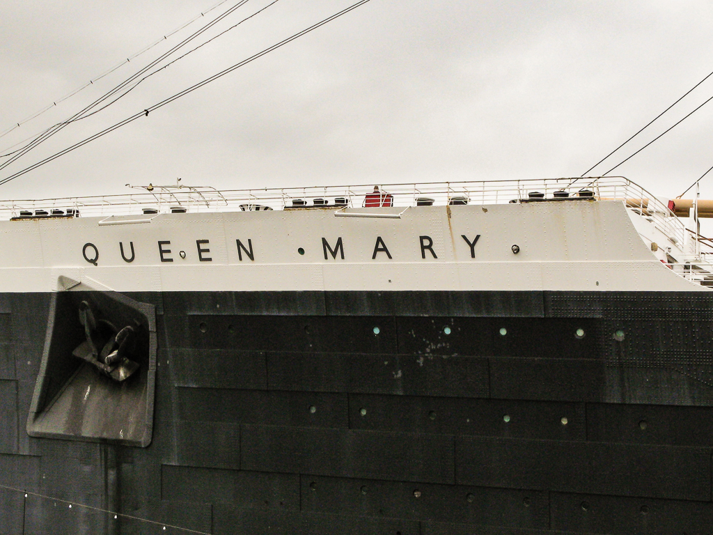
Cunard Line's RMS Queen Mary (launched 1934 and retired from service 1967), now moored at the Port of Long Beach

Cunard Line's RMS Queen Mary (launched 1934 and retired from service 1967), now moored at the Port of Long Beach

