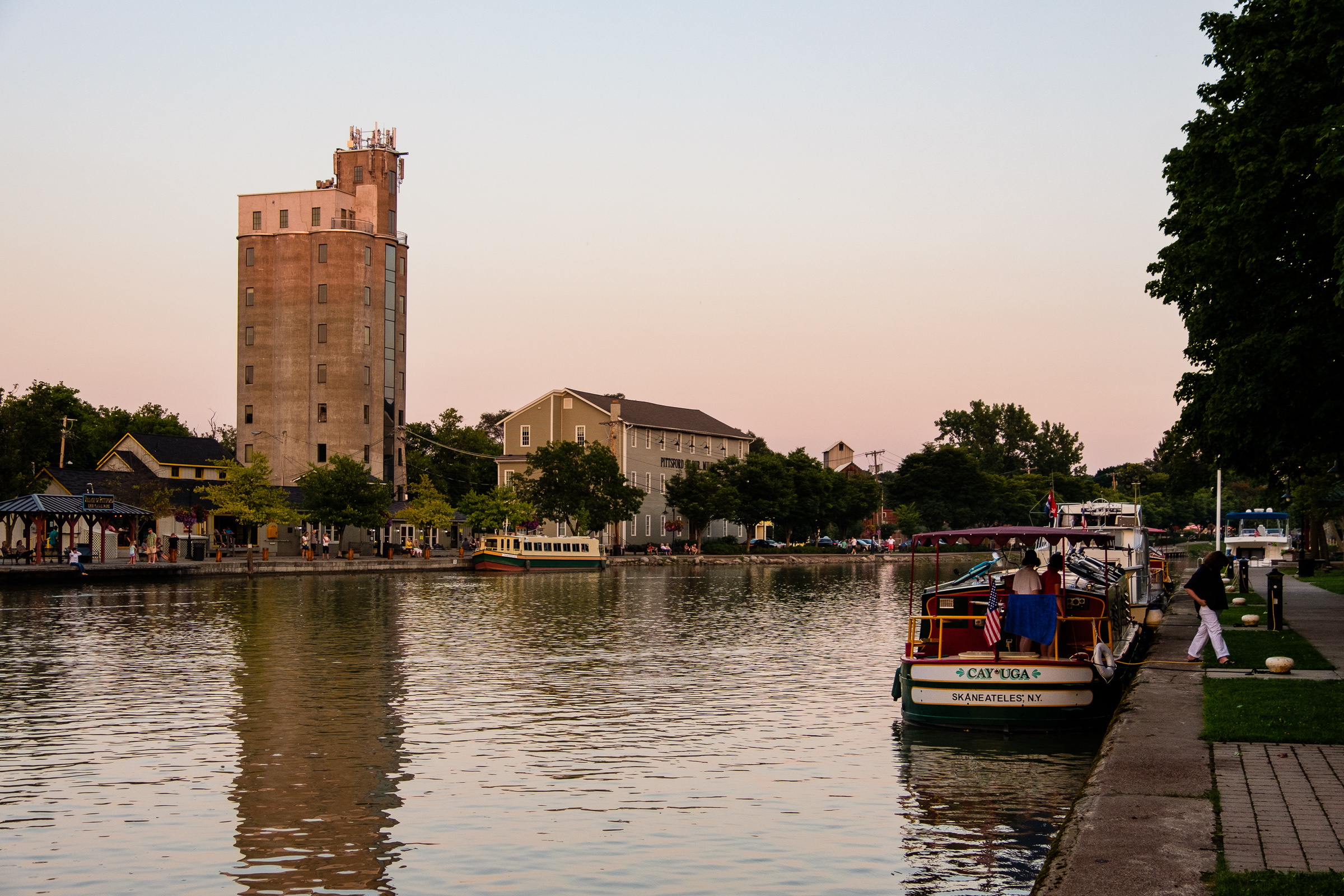
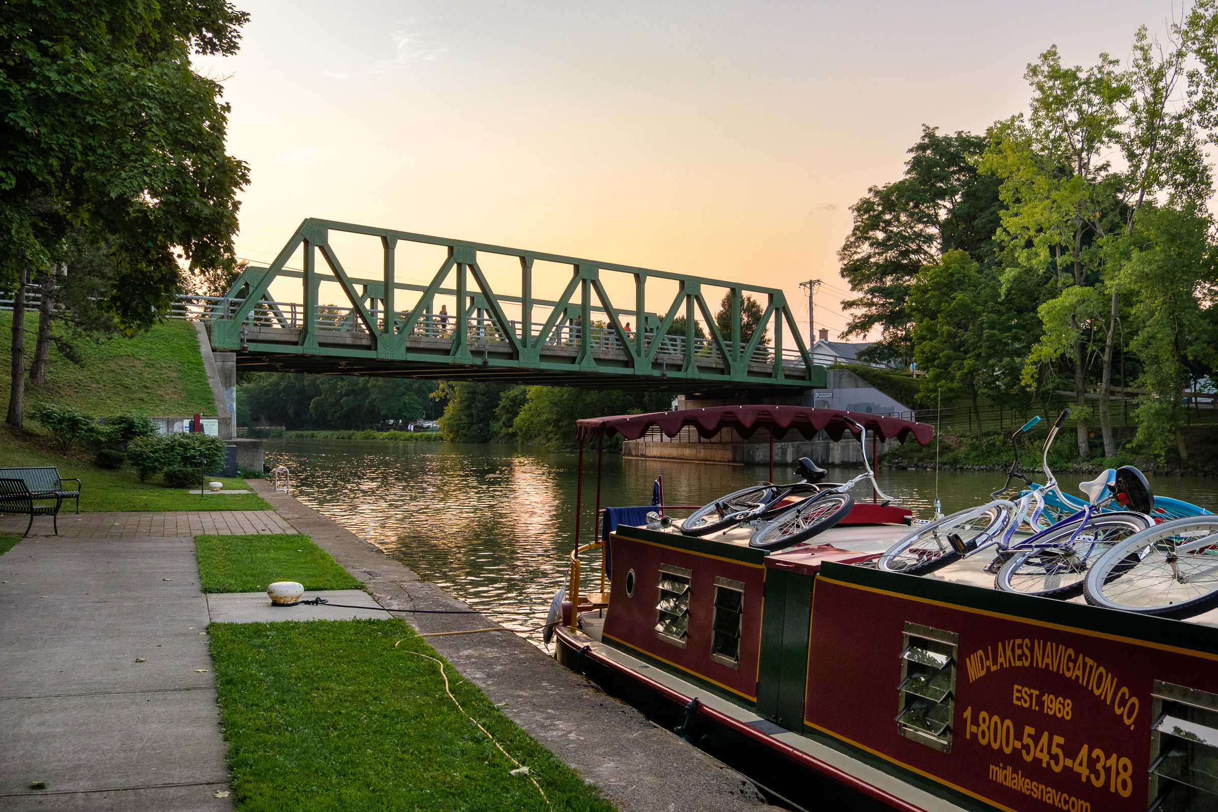
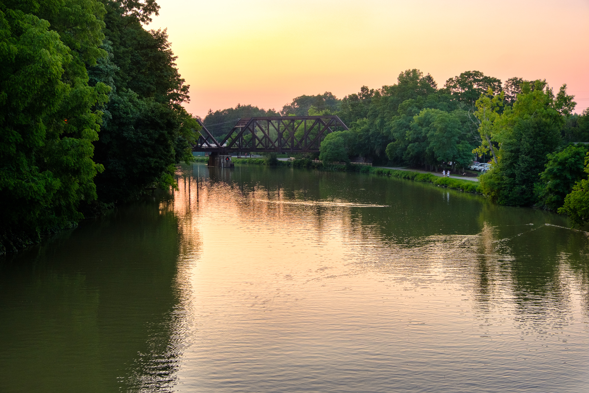
 Lockport to Pittsford in the Erie Canalway National Heritage Corridor.
Welcome back to this continuing series on my adventures along the Erie Canal in the summer of 2018. Up to now it has been mostly a warm-up. In this post, however, we will finally get to see substantial portions of the canal as we travel eastward in the Erie Canalway National Heritage Corridor.
As I looked at these photos to prepare this post, I was reminded how hugely enjoyable the Erie Canal drive was. I felt like planning another return – but not now! It gets pretty cold in Upstate New York in the winter. As I write this the weather reports are pretty dire as New York is getting absolutely slammed by a big snowstorm (what’s called a “Nor-easter” here), but apparently so far the upstate region has largely been spared from the worst of it. Anyway, these photos were all taken in the summer in warmer days around there.
You may recall mention in the last post of the difference between what’s called the “Old Erie Canal” from the 19th century and its early 20th century successor, the re-routed, widened and deepened “New York State Barge Canal” (now known as the “New York State Canal System”). What we are going to see in this post – with one big exception – is the 20th century canal. We will remain in the western third of the canal region. We will start out at Lockport in Niagara County and make it to Pittsford in Monroe County on the outskirts of Rochester (about 60 miles/96.5 km as the crow flies).
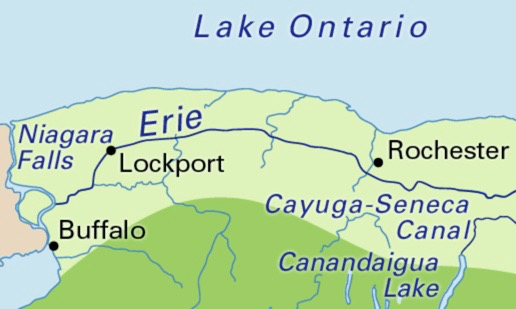
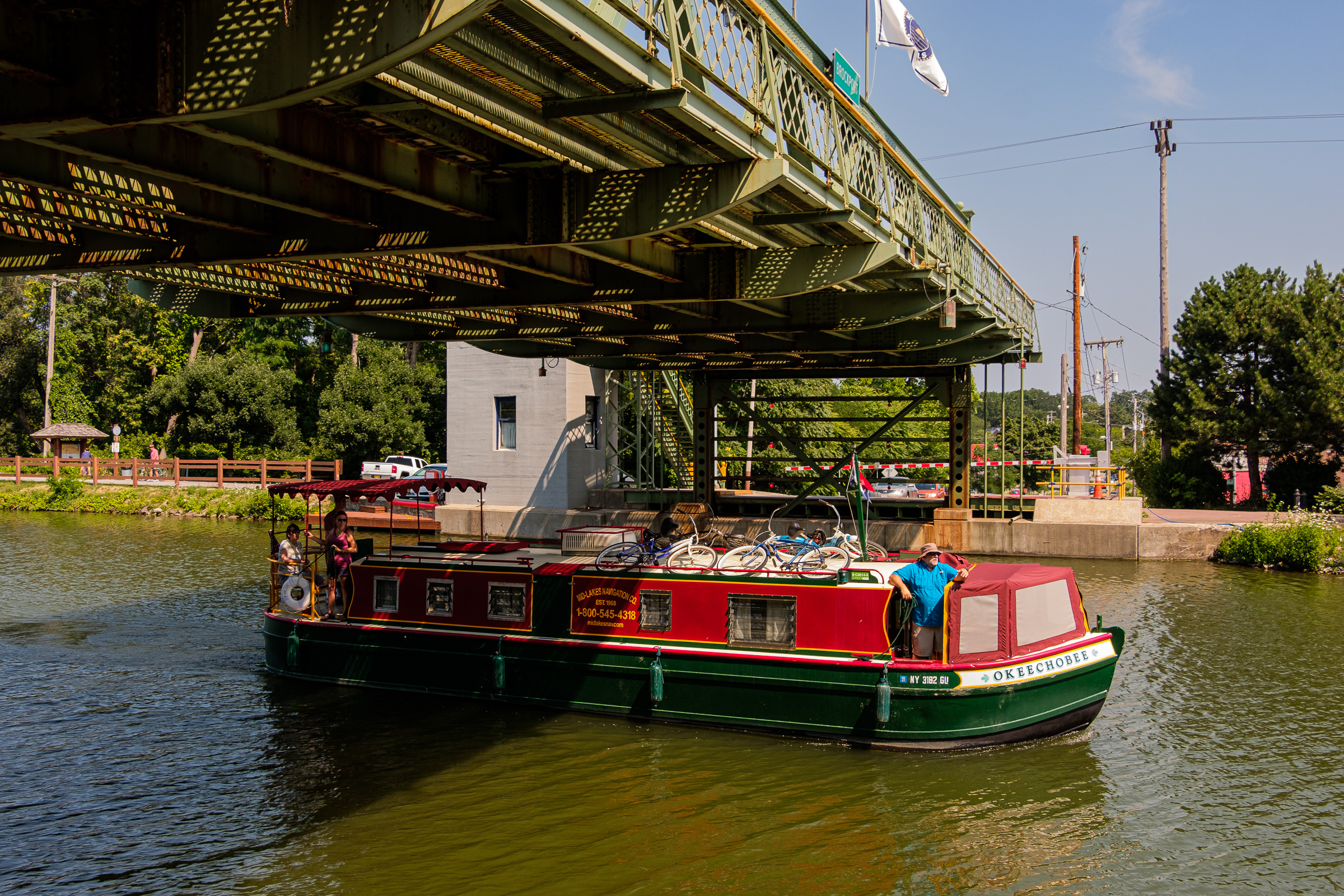
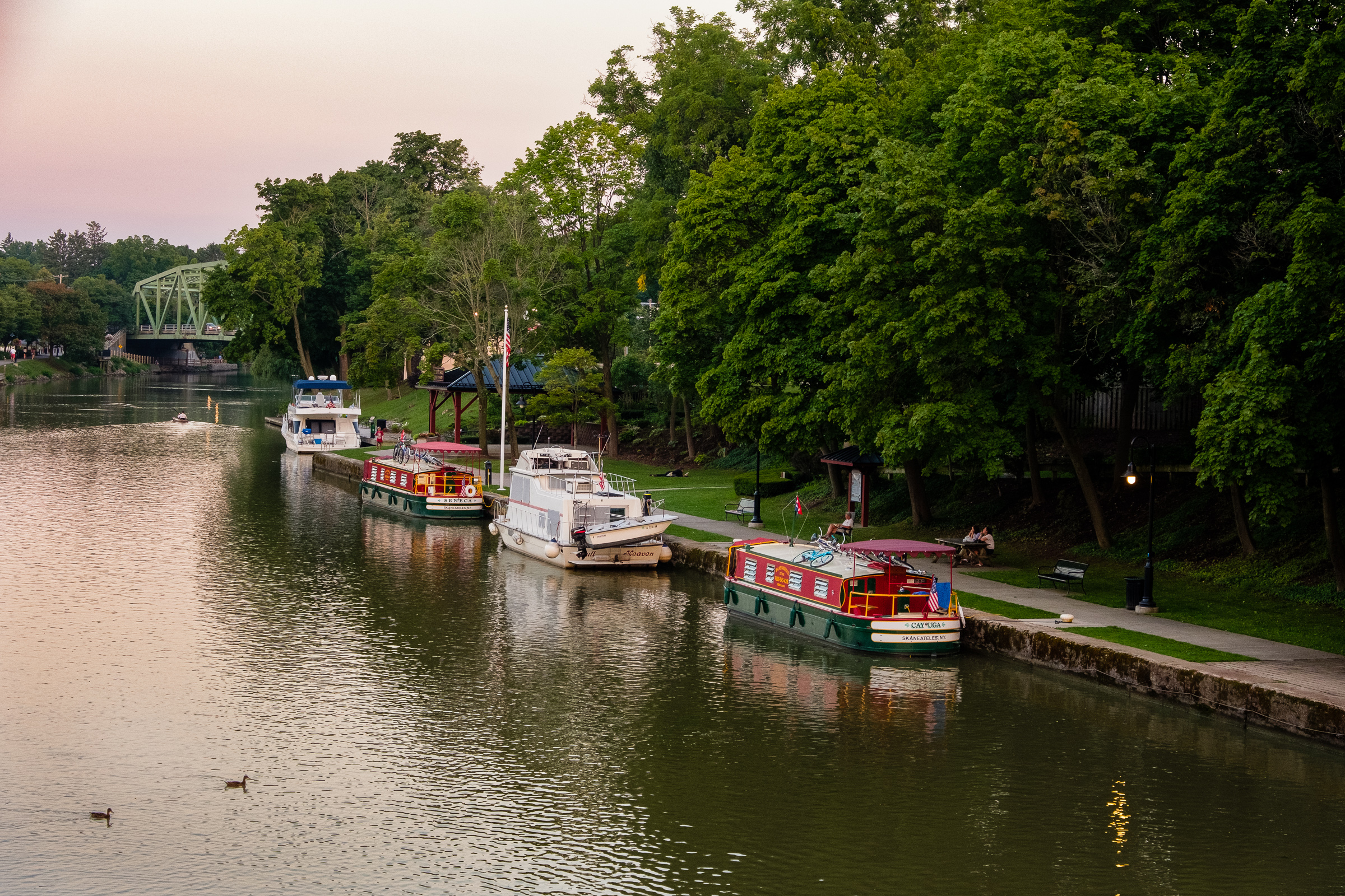
You will not see any commercial barges in this set. During the entire drive I saw very little, if any, commercial shipping. It hasn’t totally ceased, but there is not that much of it these days. Recreational boat traffic is what I saw on the Erie Canal drive.
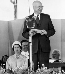 In an earlier post I promised some more Erie Canal history, and here we go. Commercial and shipping traffic on the Erie Canal declined rapidly after opening of the St. Lawrence Seaway. In 1959, the UK’s Queen Elizabeth II (also Queen of Canada) and US President Dwight D. Eisenhower formally opened the seaway on the royal yacht HMY Britannia.
This was a joint U.S.-Canadian project – one of the largest civil engineering projects ever undertaken. The shipping route along the United States-Canadian border allowed deep-draft ocean vessels to enter the Great Lakes directly from the Atlantic Ocean.
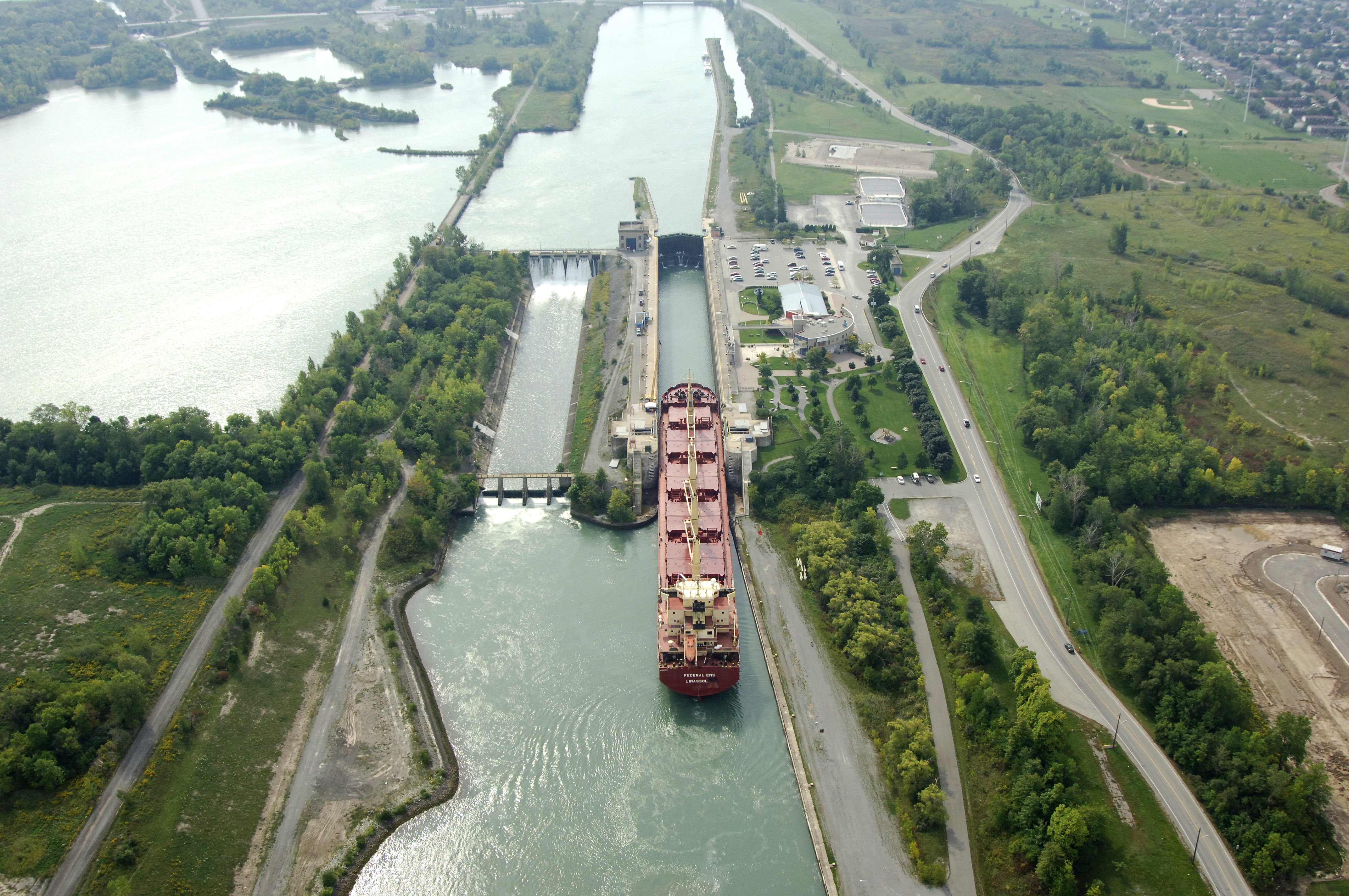
Among other things, the project included new deepwater passage on the Canadian side between Lake Ontario and Lake Erie — the new shipping route completely bypassed the Erie Canal to reach Lake Erie and beyond. K’boom. That pretty much did the Erie Canal in as a commercial waterway corridor from Lake Erie eastward. It was already severely challenged by alternative means of transport (i.e. trucking with the improvements in the US interstate highway system and, more importantly, the improved railway network), but the opening of the St. Lawrence Seaway was the death blow (well, near death blow). I found this photo online of the connecting waterway to Lake Erie (through Canada) along what’s called the Welland Canal. It’s a completely different scale from the 20th century enlarged Erie (Barge) Canal:
Today’s factoid: did you know that the Great Lakes contain about 21% of the world’s supply of surface fresh water?
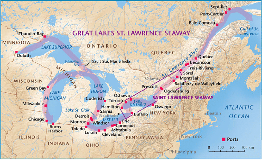
Here is a map of the larger Great Lakes St. Lawrence Seaway System with the St. Lawrence Seaway in the rectangular box:
In 2000, the US Congress designated the Erie Canal a National Heritage Corridor. It’s mainly about tourism and pleasure craft these days along the canal.
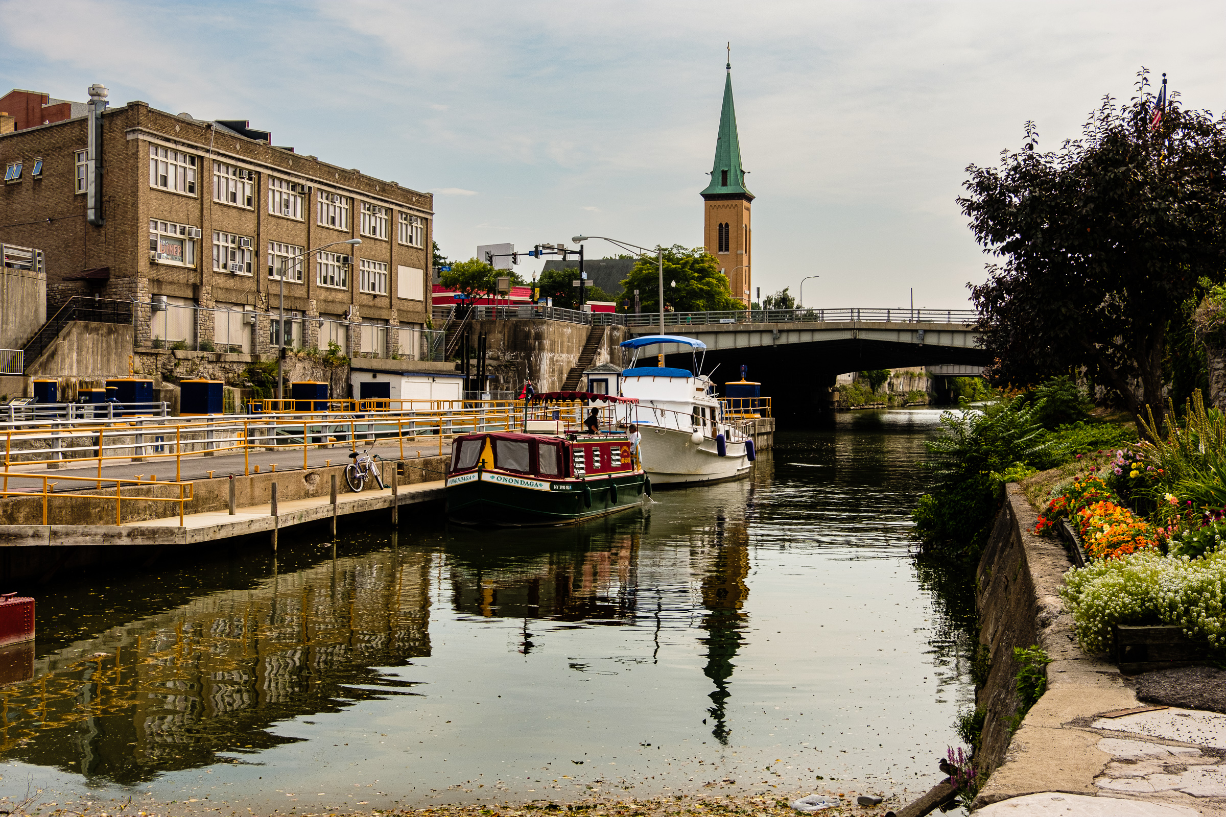
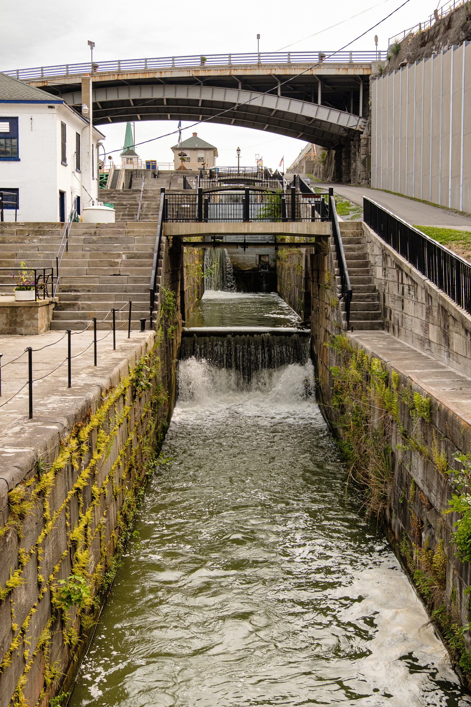
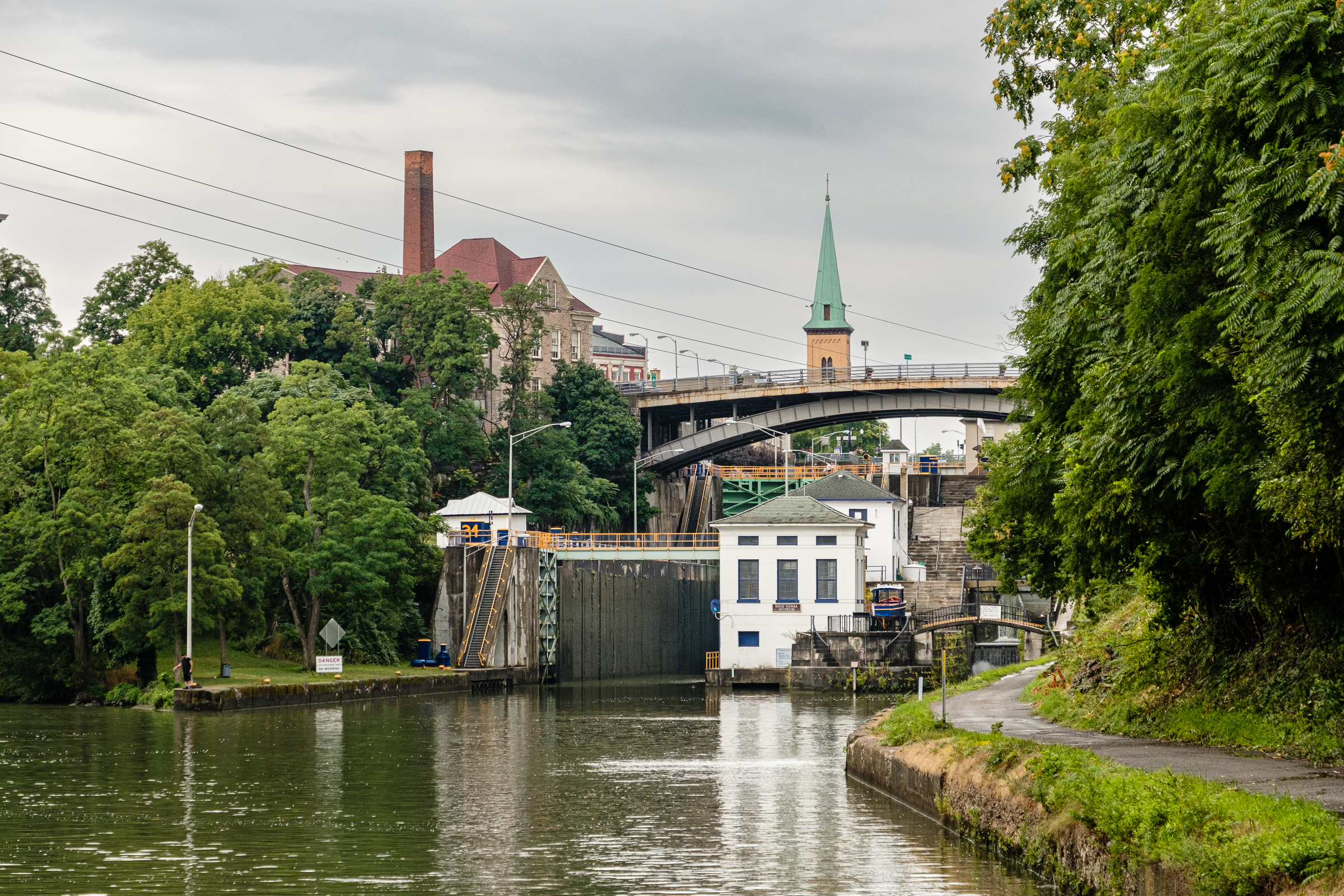
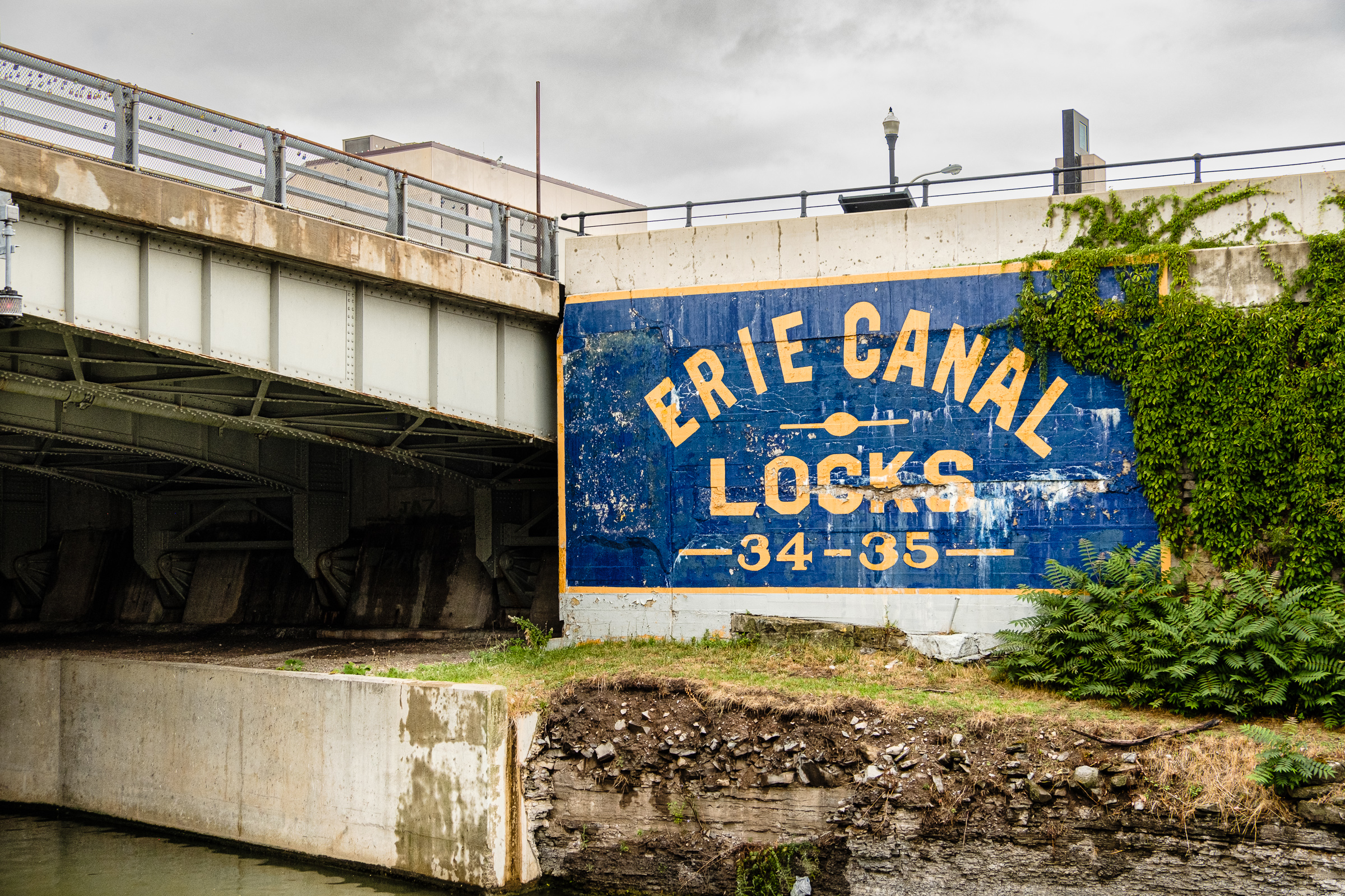
In the first grouping of photos in Lockport we will see old and new side-by-side. The famous “Flight of Five” locks are said to be one of the most iconic features of the entire Erie Canal. The original canal locks constituting the Flight of Five were built in 1825 to lift boats up the Niagara Escarpment. They were expanded as part of the 19th century expansion/upgrade of the original canal system (around 1860). Parallel to these are two wider and deeper locks (34 and 35) which are part of the 20th century Barge Canal. The second photo in the series taken from the Pine St. Bridge has a nice bird’s eye view of old and new together. Actually, only one half of the 19th century Flight of Five remains, and it looks so tiny in comparison to the Barge Canal locks. (There used to be two flights to permit two-way traffic.) Some of the wooden gates once used in the Flight of Five have been removed, allowing the water to flow through freely, although a couple of them have been restored and remain.
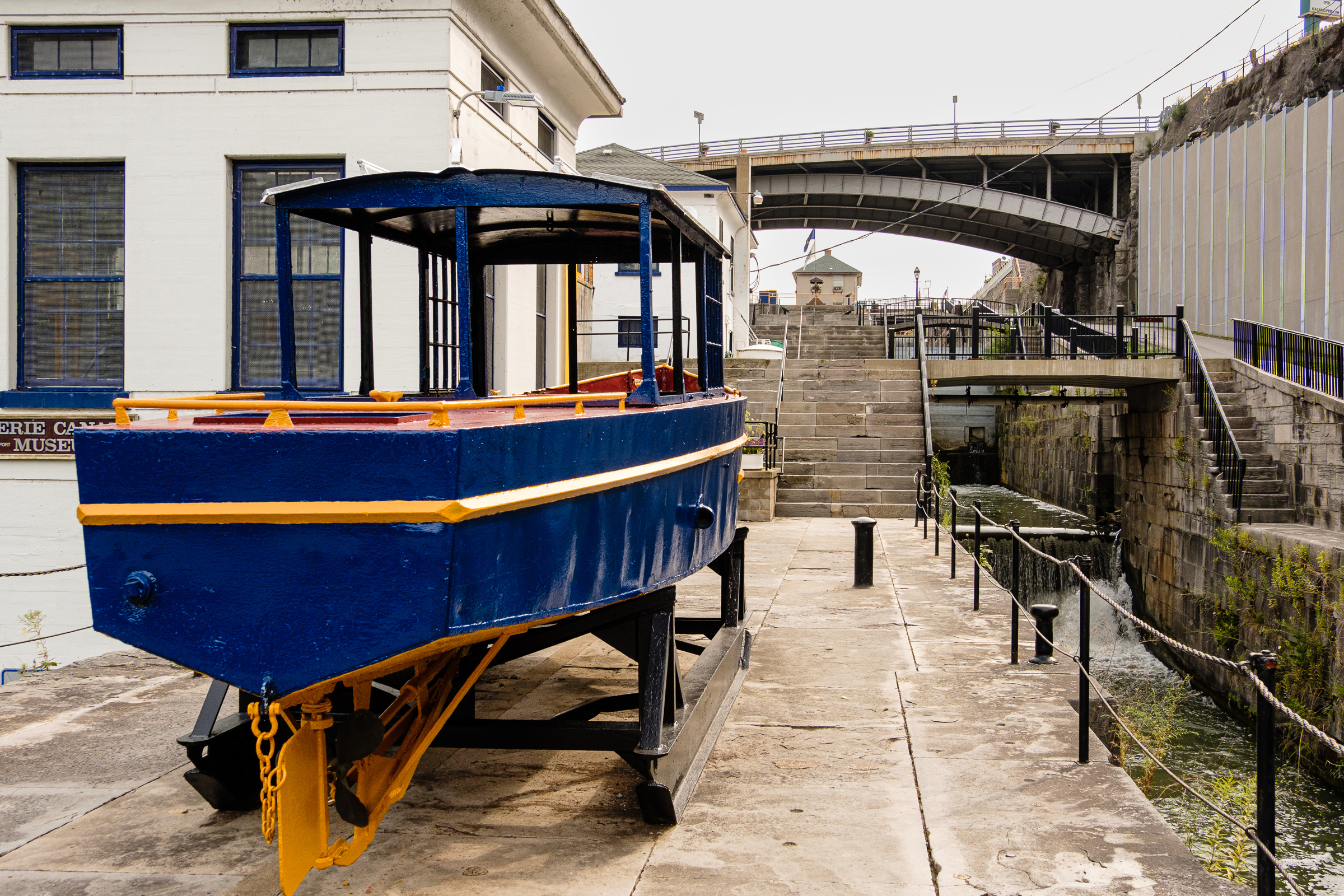
That’s about all we will see this post of the Old Erie Canal. There’s a small museum by the Flight of Five. Check out the old style Erie Canal boat by the museum.
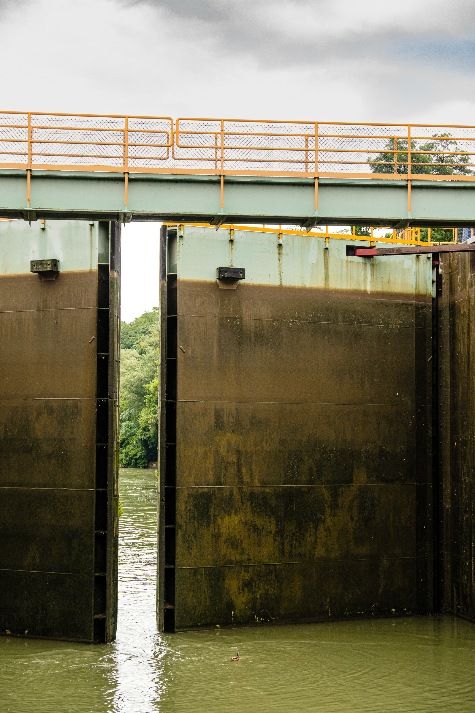
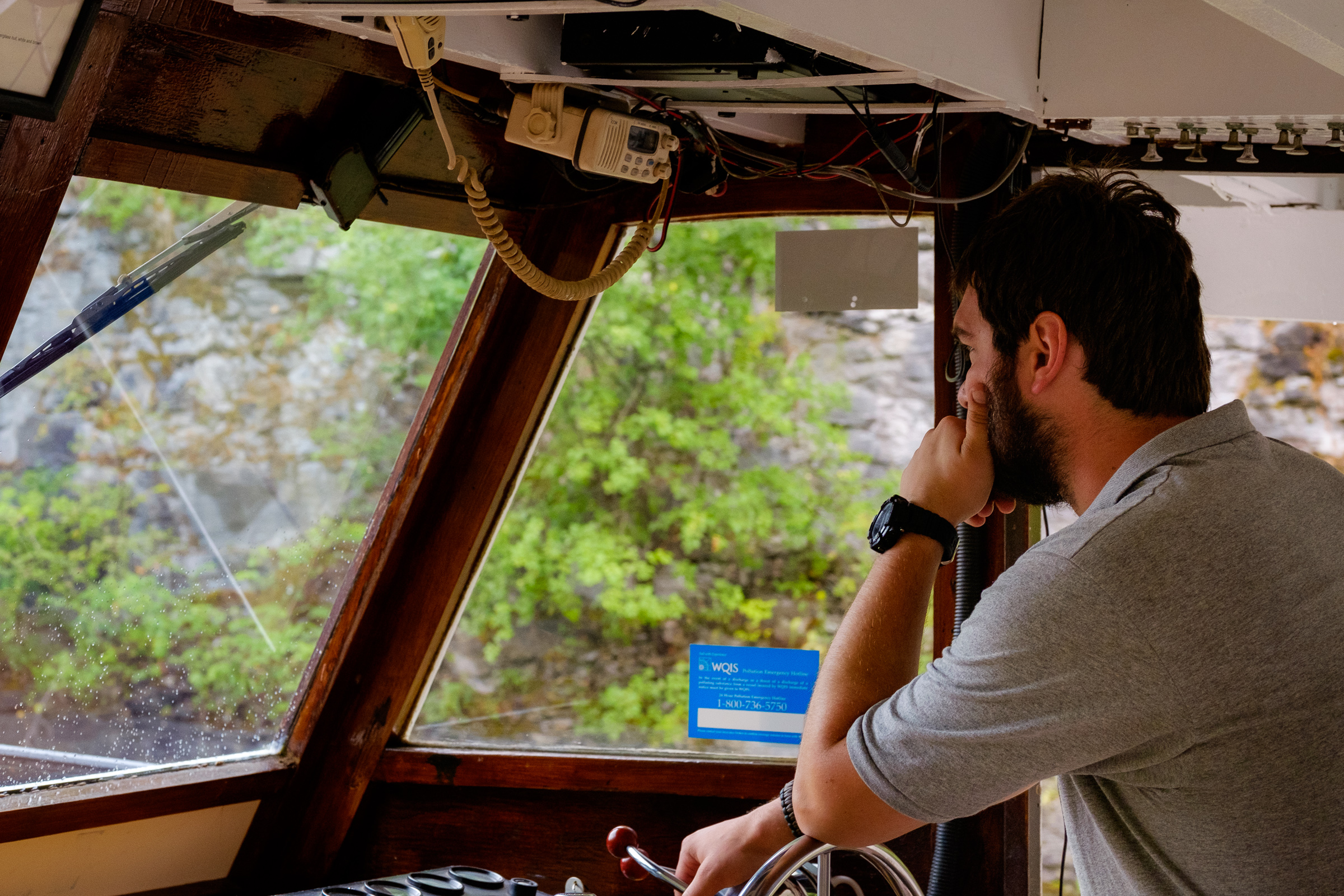
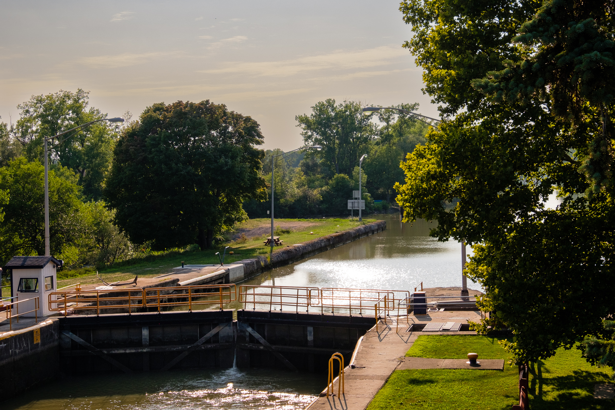
I took about a two hour cruise on the canal from Lockport eastward and back which included passage through locks 34 and 35 together with two other vessels traveling together ahead of us. Very cool and recommended. I included three photos showing arrival of our boat at the top of the second lock heading eastward, the lowering of the boat as the water drains out, and then finally the huge metal gates opening for our exit to the canal. The two locks have a combined lift of 50 feet (about 15.25 m). It’s a fine excursion with several original bridges from the expansion of the canal in the early 20th century and much historic architecture; the city of Lockport dates back to 1824 and (like so many other cities and towns I visited) owes its early history to the construction and development of the Erie Canal..
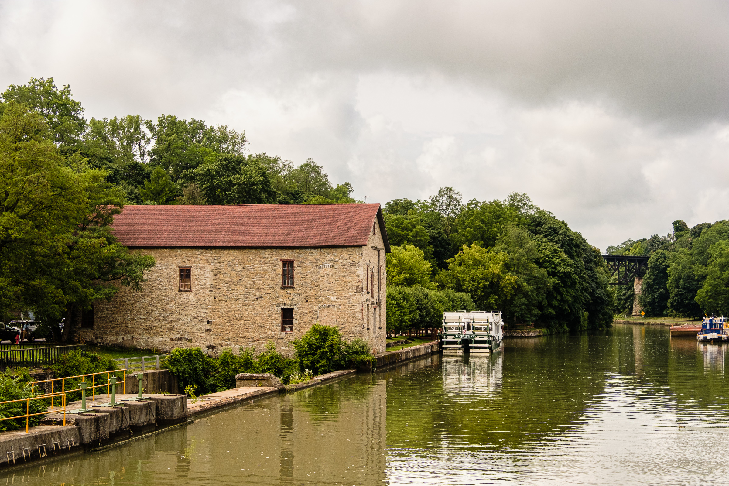
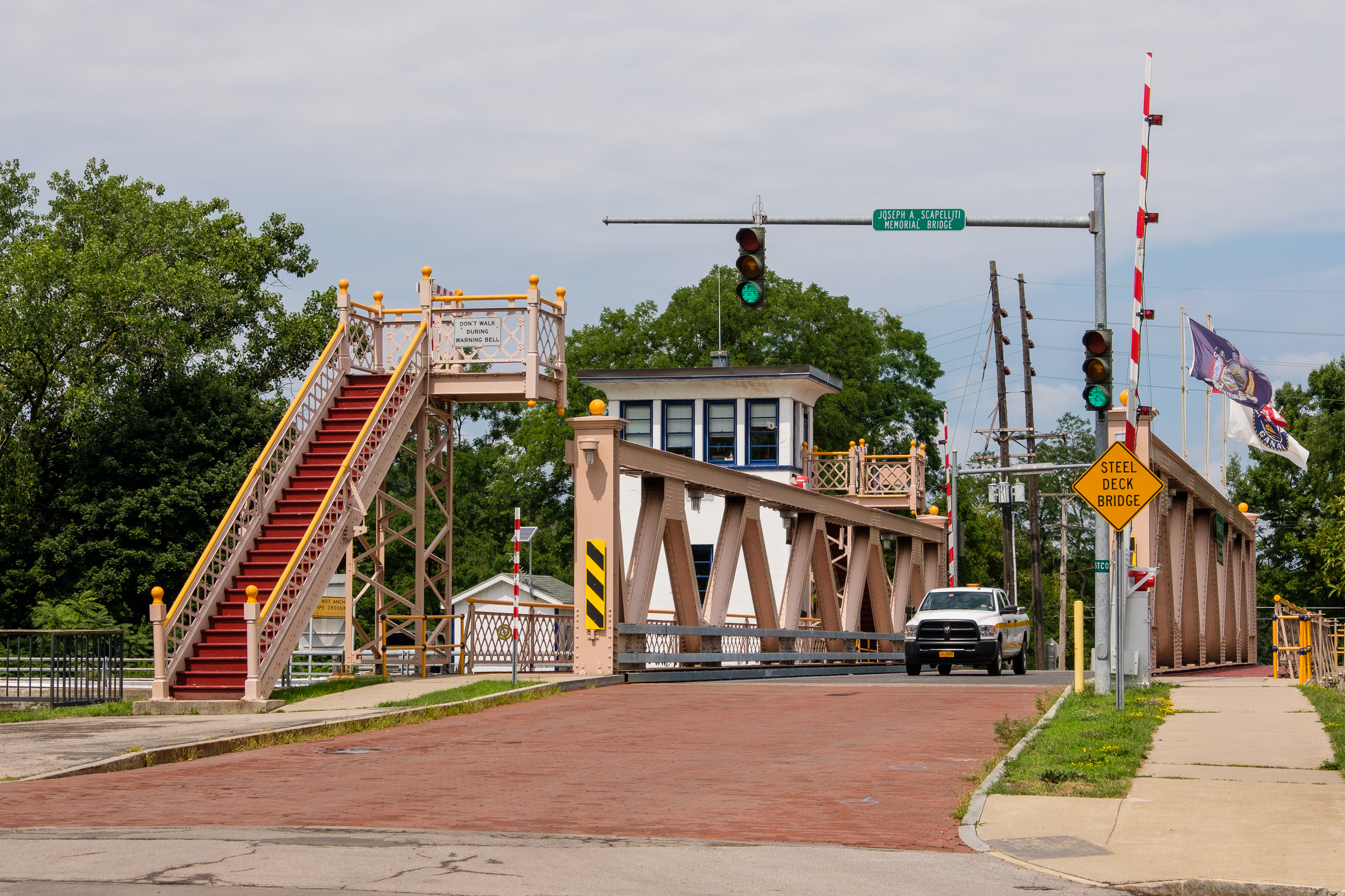
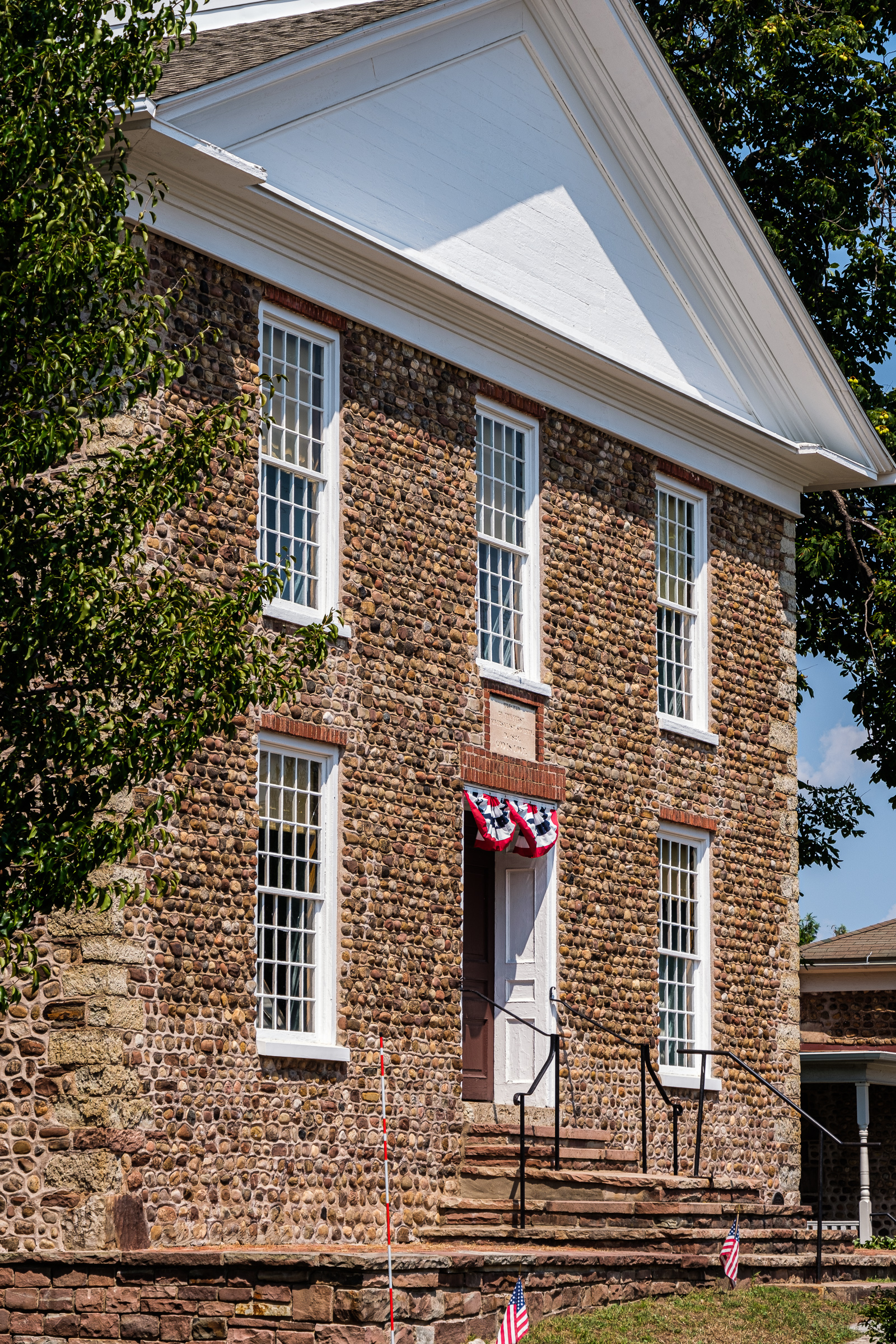
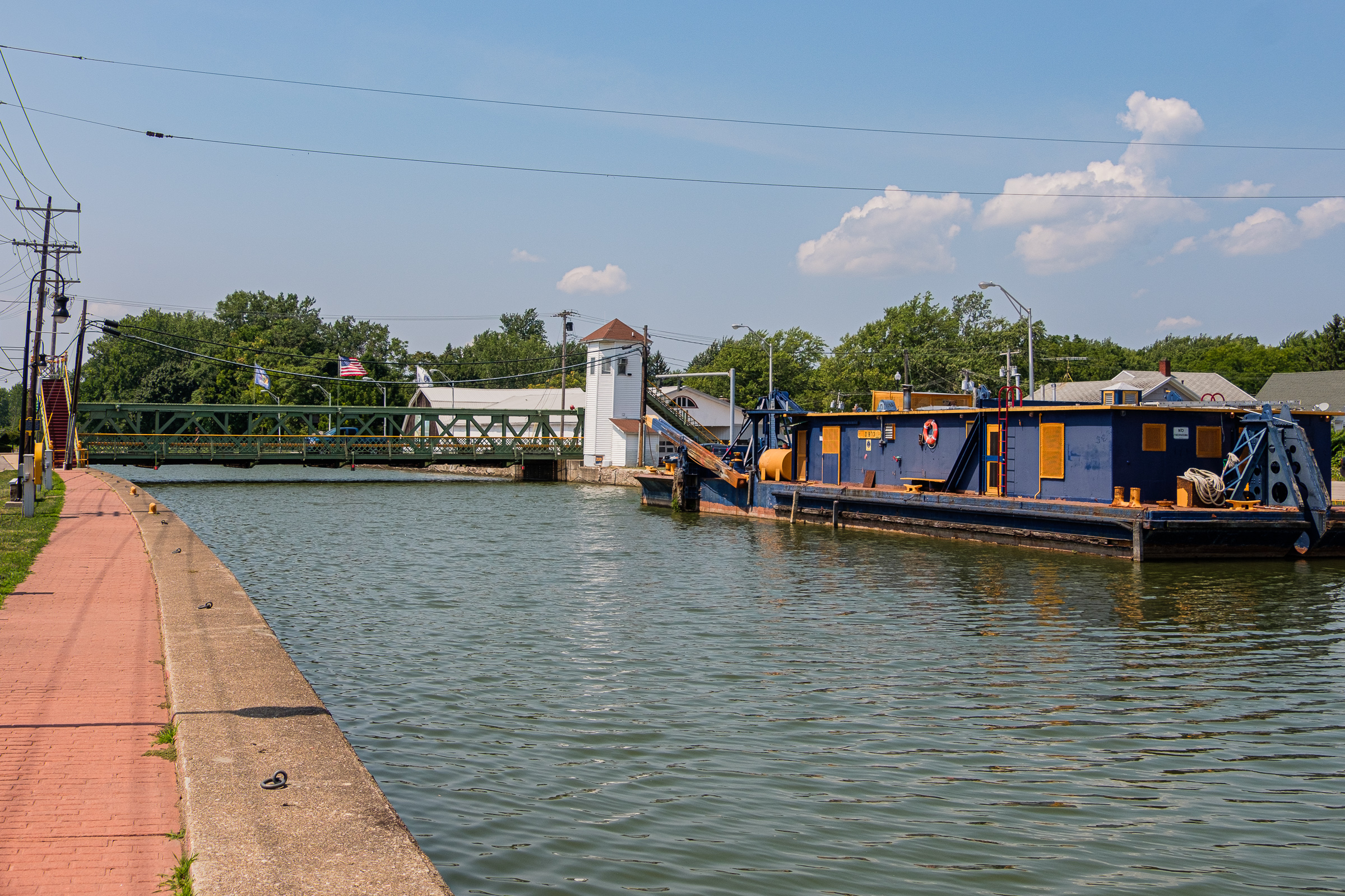
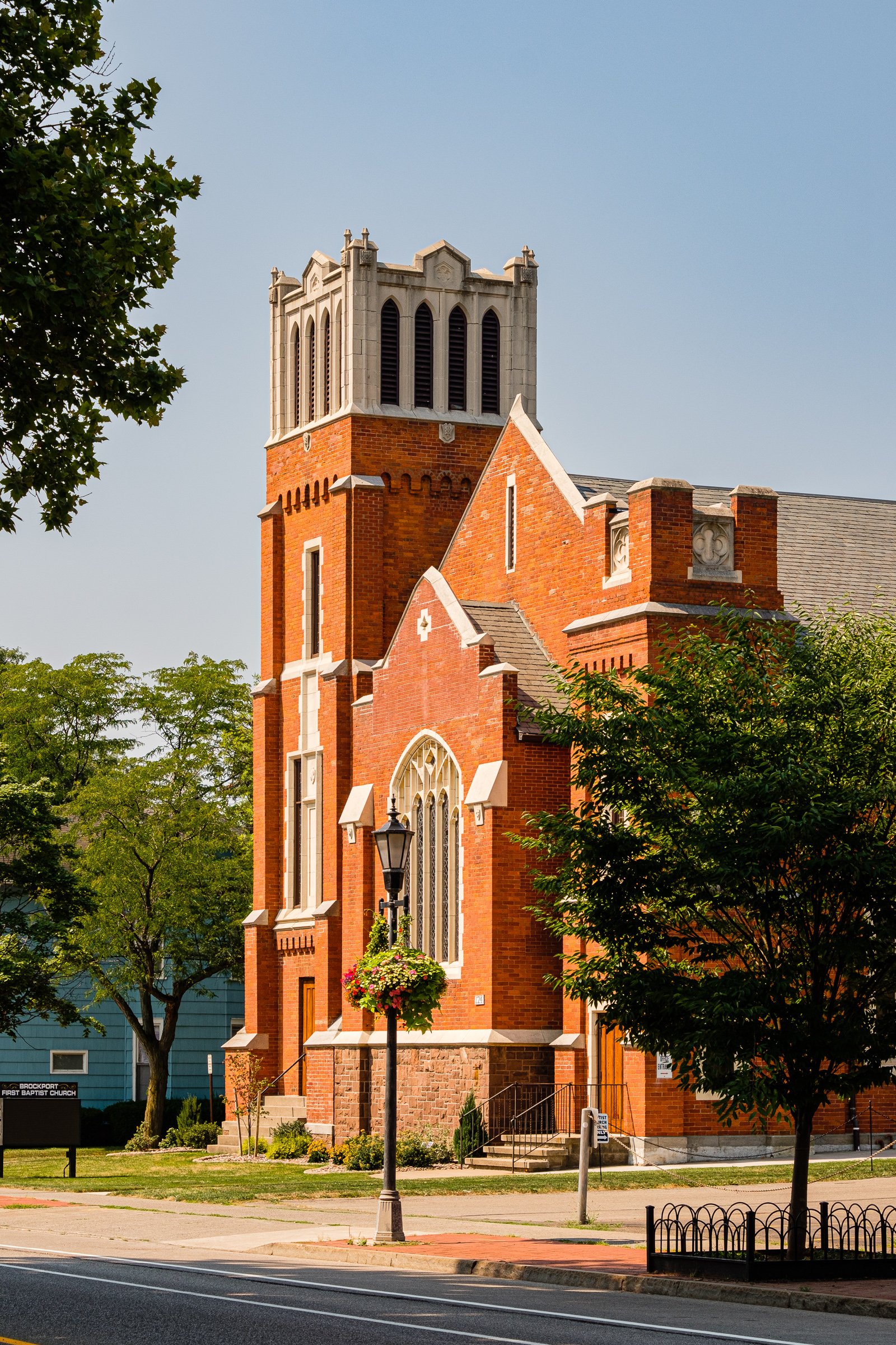
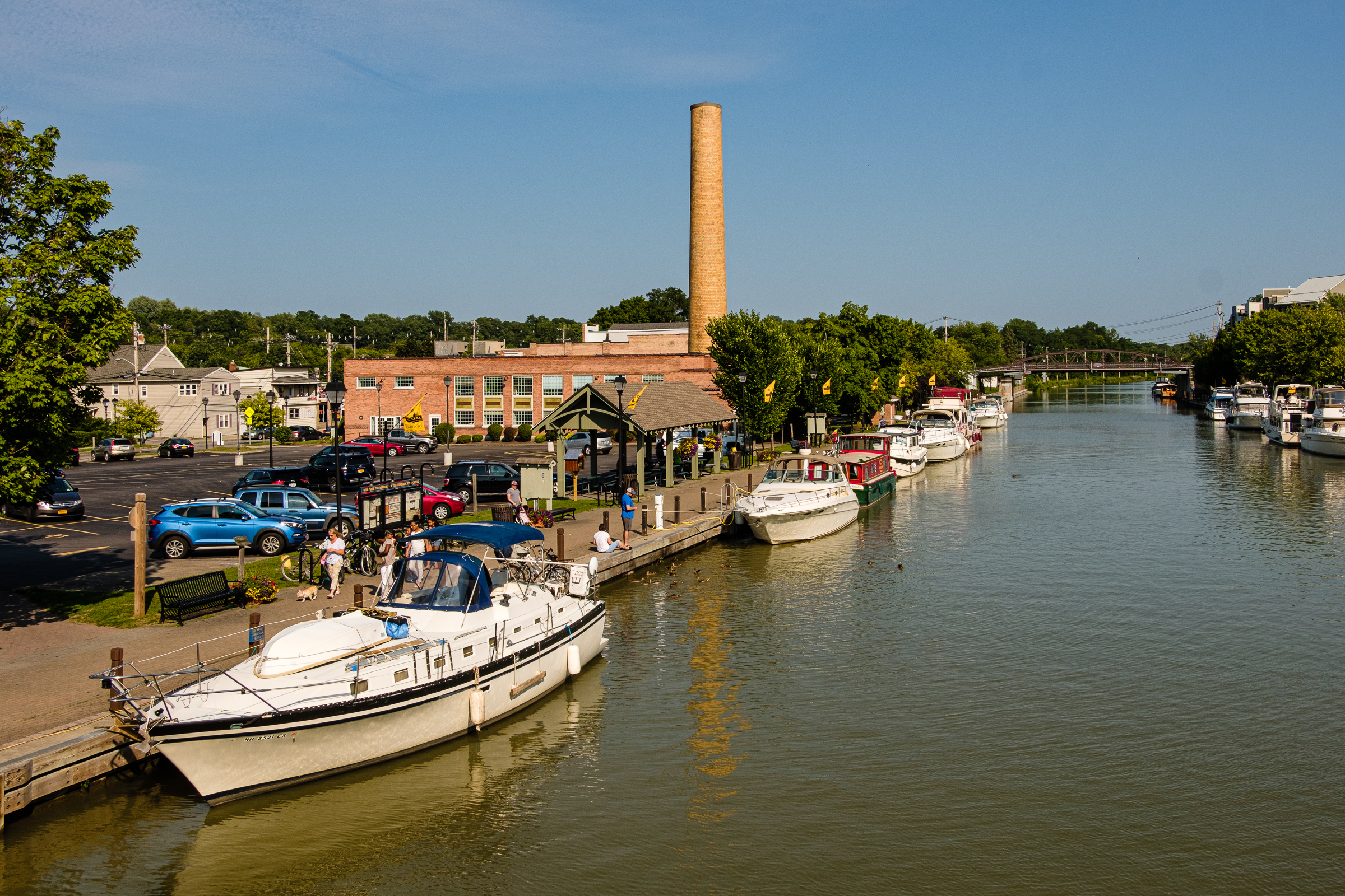
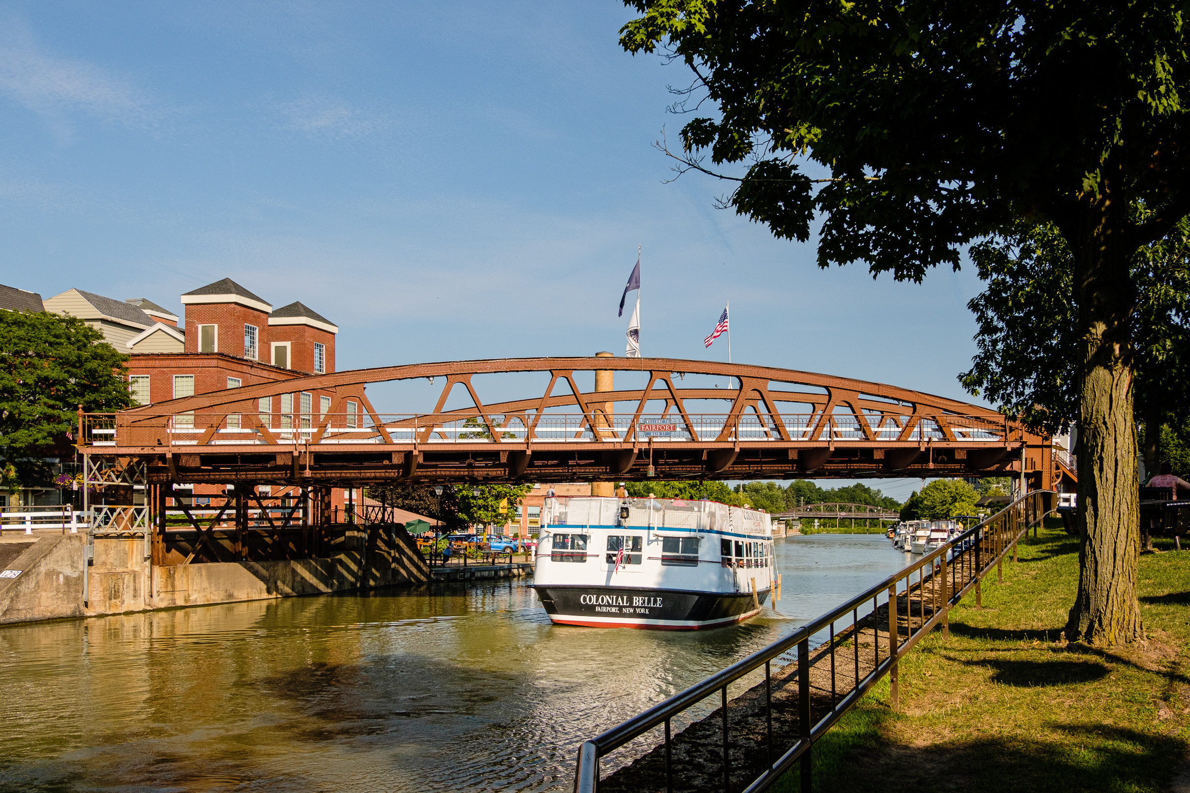
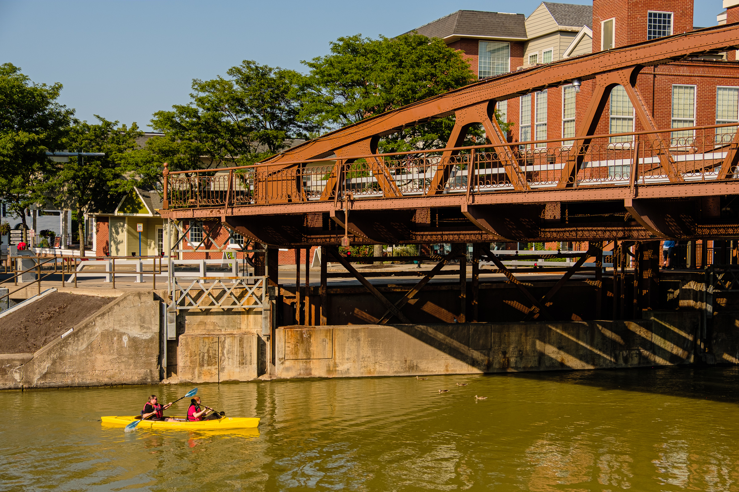
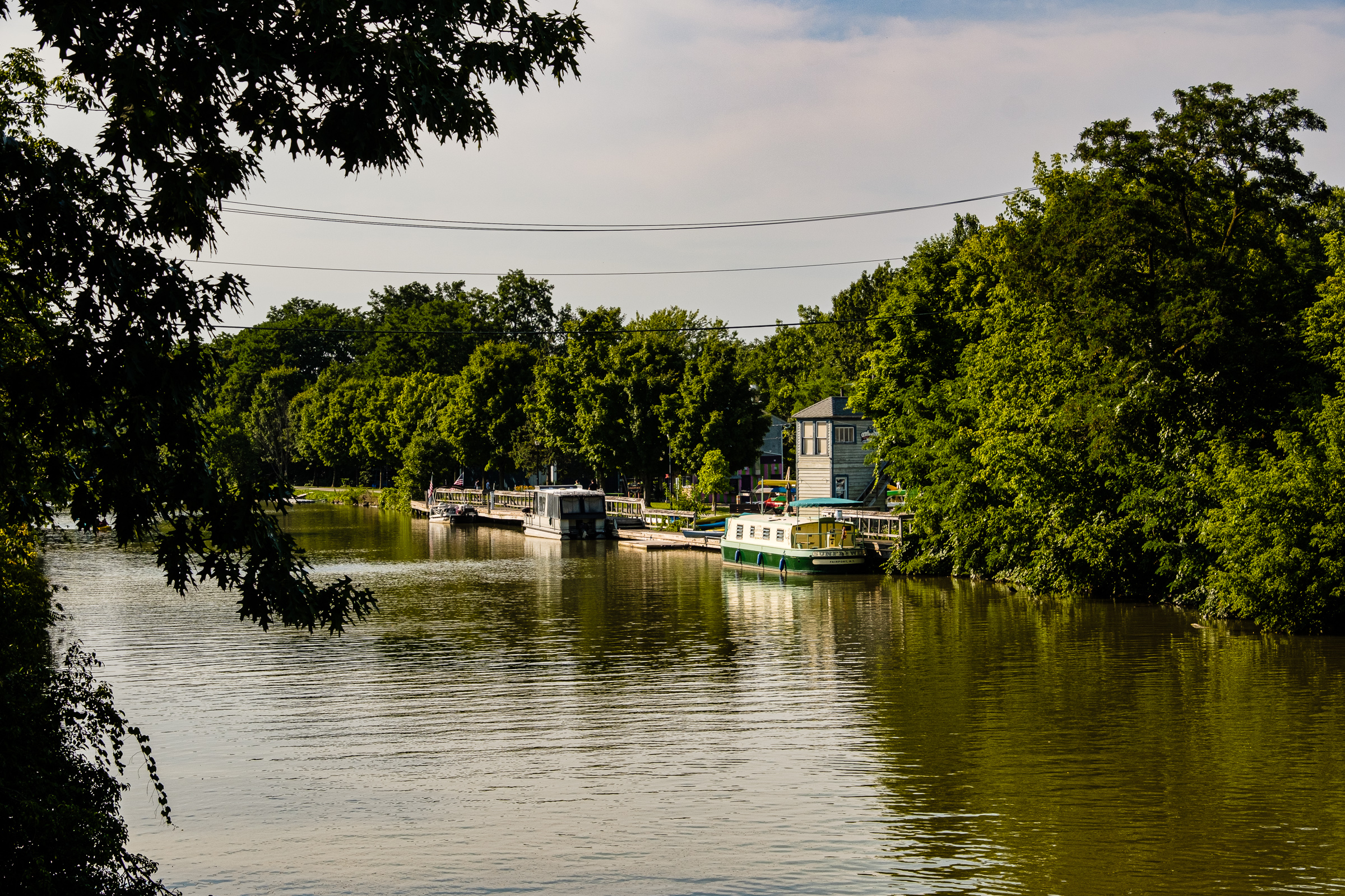
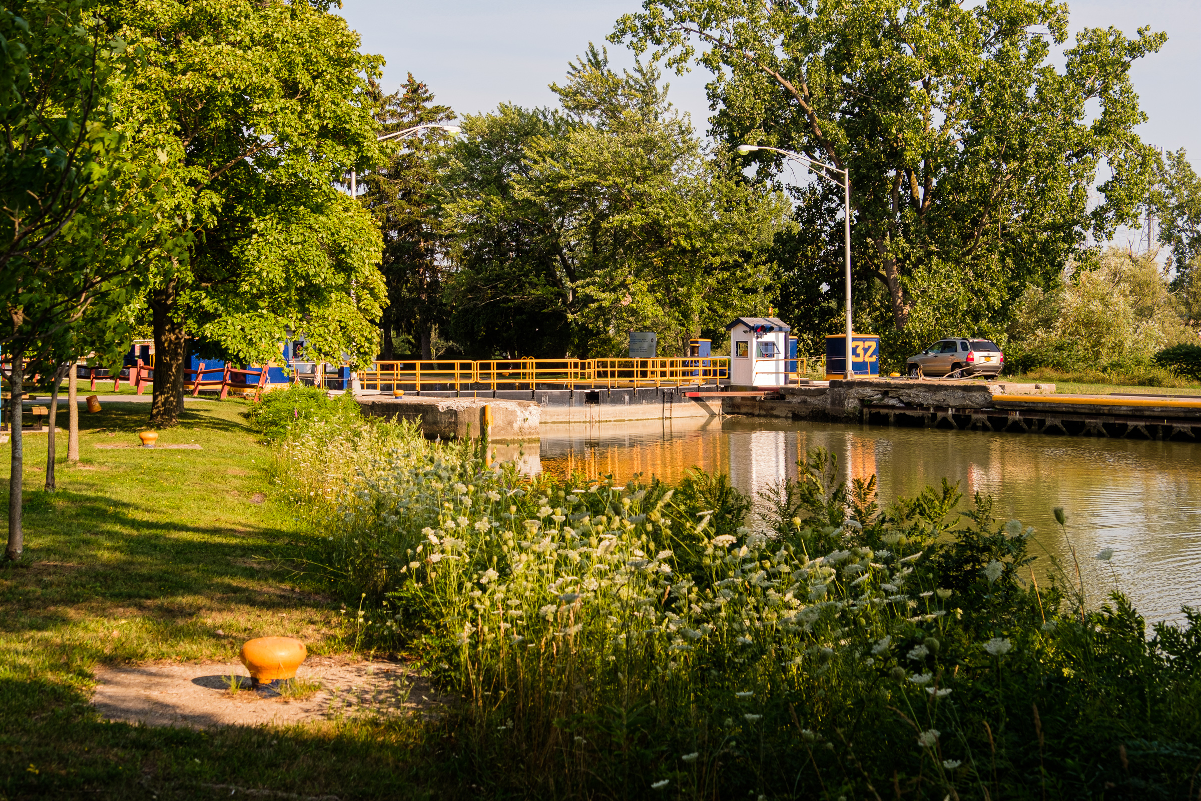
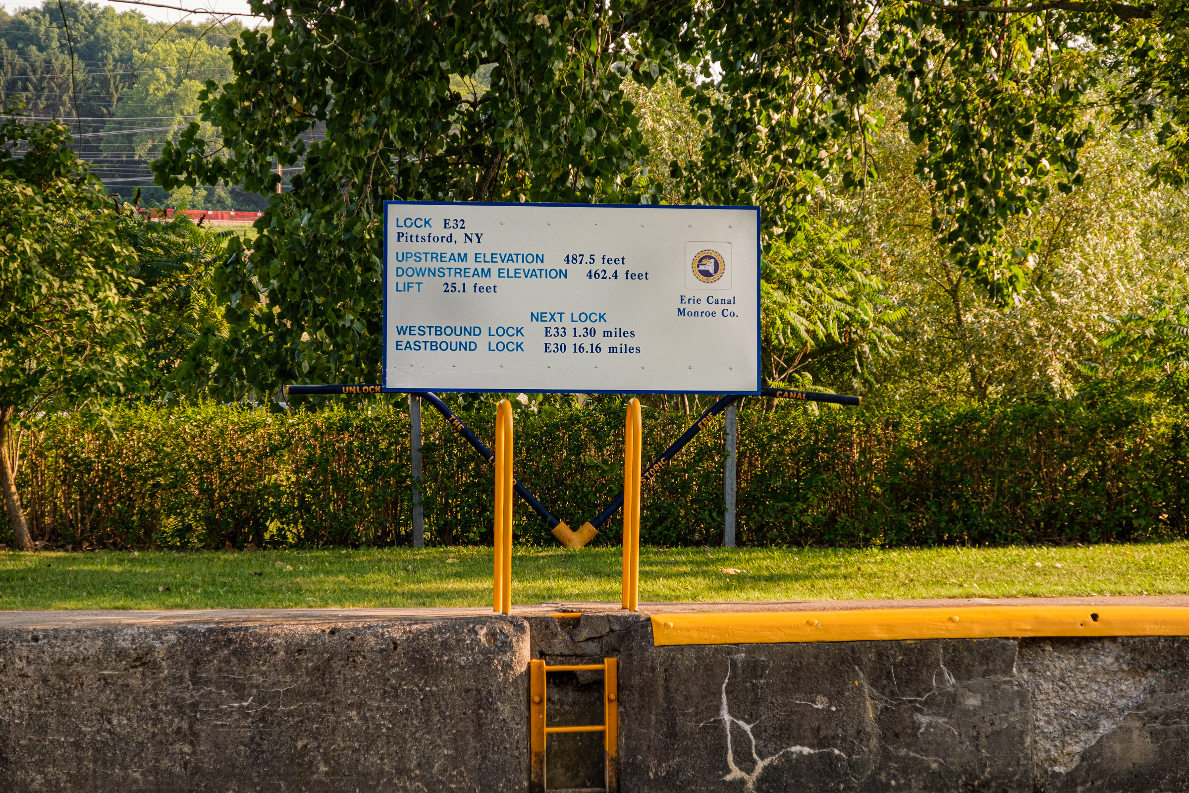
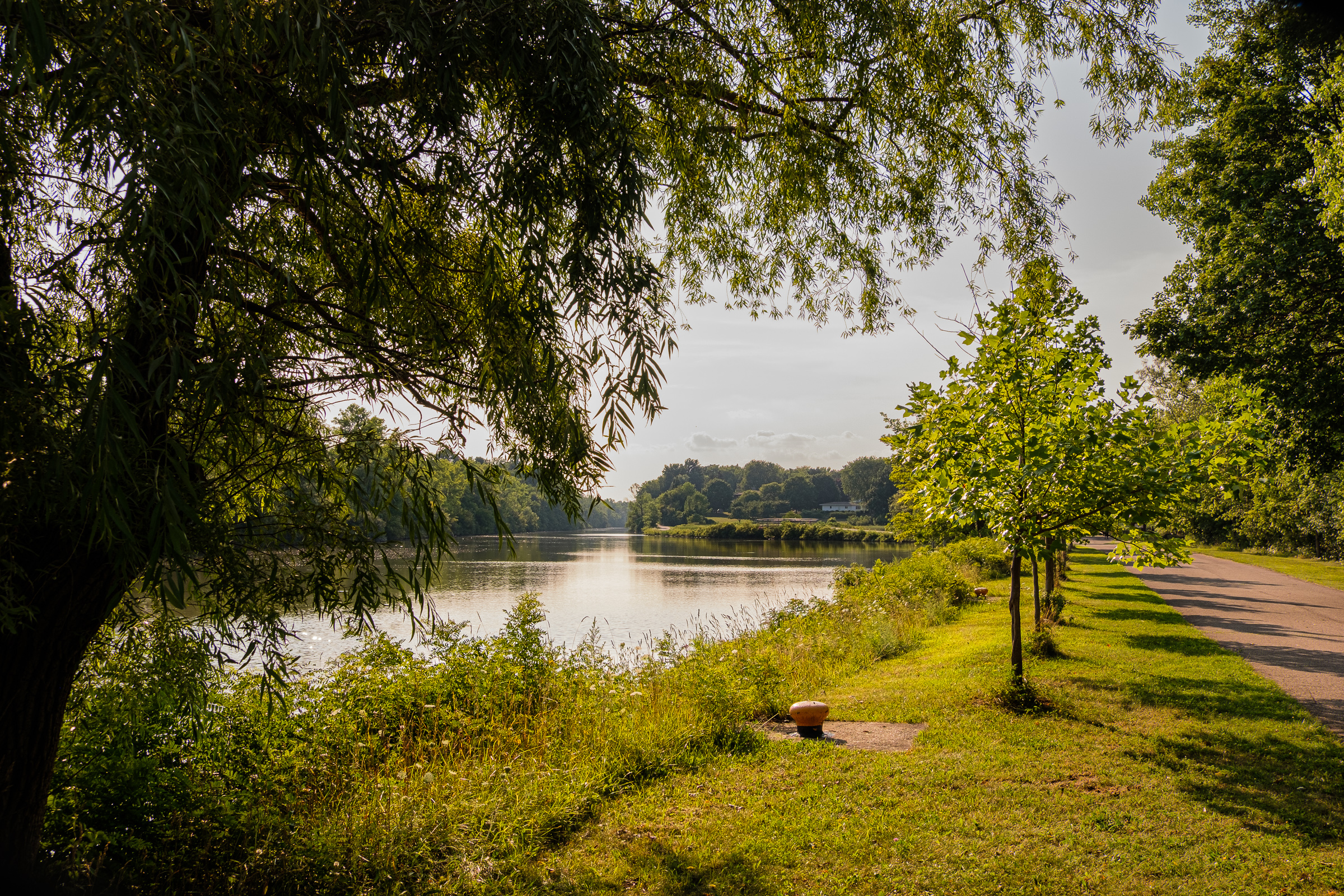
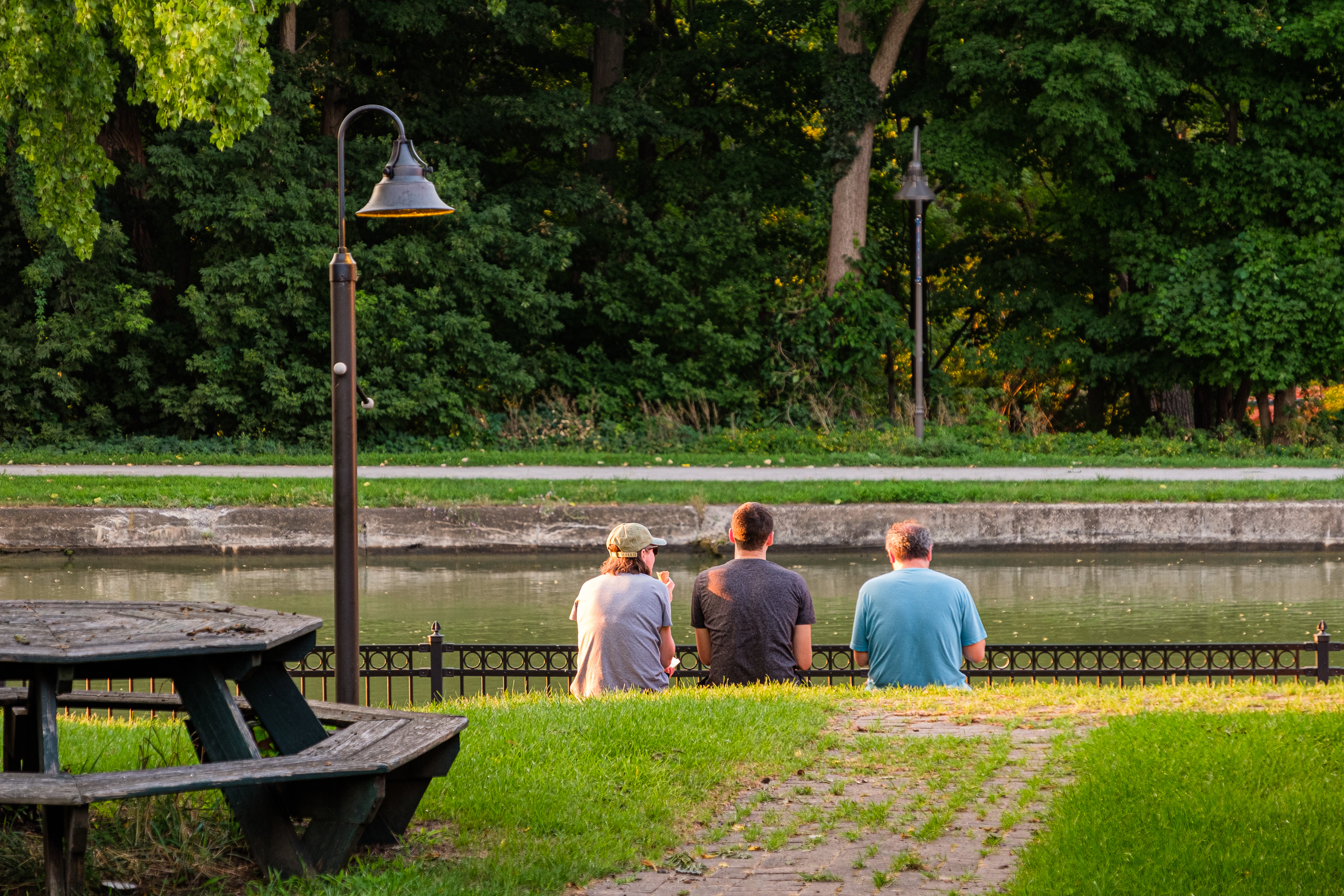
We’ll leave Lockport and stop off at several gems, including Brockport, Fairport and Pittsford. It’s a lovely summer drive with tons to do and see.
It was a unique journey through a part of the USA which had been totally unknown to me. My starting point on this particular part of the Erie Canal drive is about 2,600 miles (about 4,185 km) from where I grew up in California. Sometimes the drive seemed to be a world away – it is that different in Upstate New York from out West.
See you again soon for a visit to Rochester. I was super excited about that stopover. Uh, Rochester? Why, may you ask? It was (and still is) the home of the Eastman Kodak Company, and as a photographer I wanted to visit the George Eastman Museum and otherwise check the city out which once was so important to photography.
Click on (or tap) an image to expand it (and use the arrow to the right on an expanded image to go through the set, if preferred over scrolling down in the post).
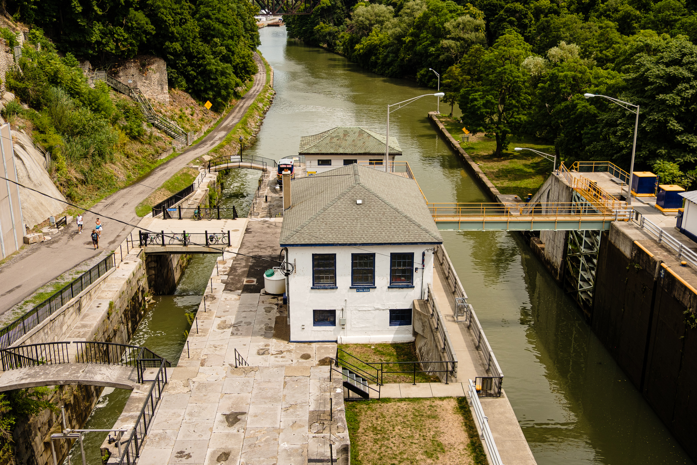
Locks 34 and 35 of the Barge Canal at the Flight of Five Locks from the Pine St. Bridge, Erie Canal, Lockport, August 2018.
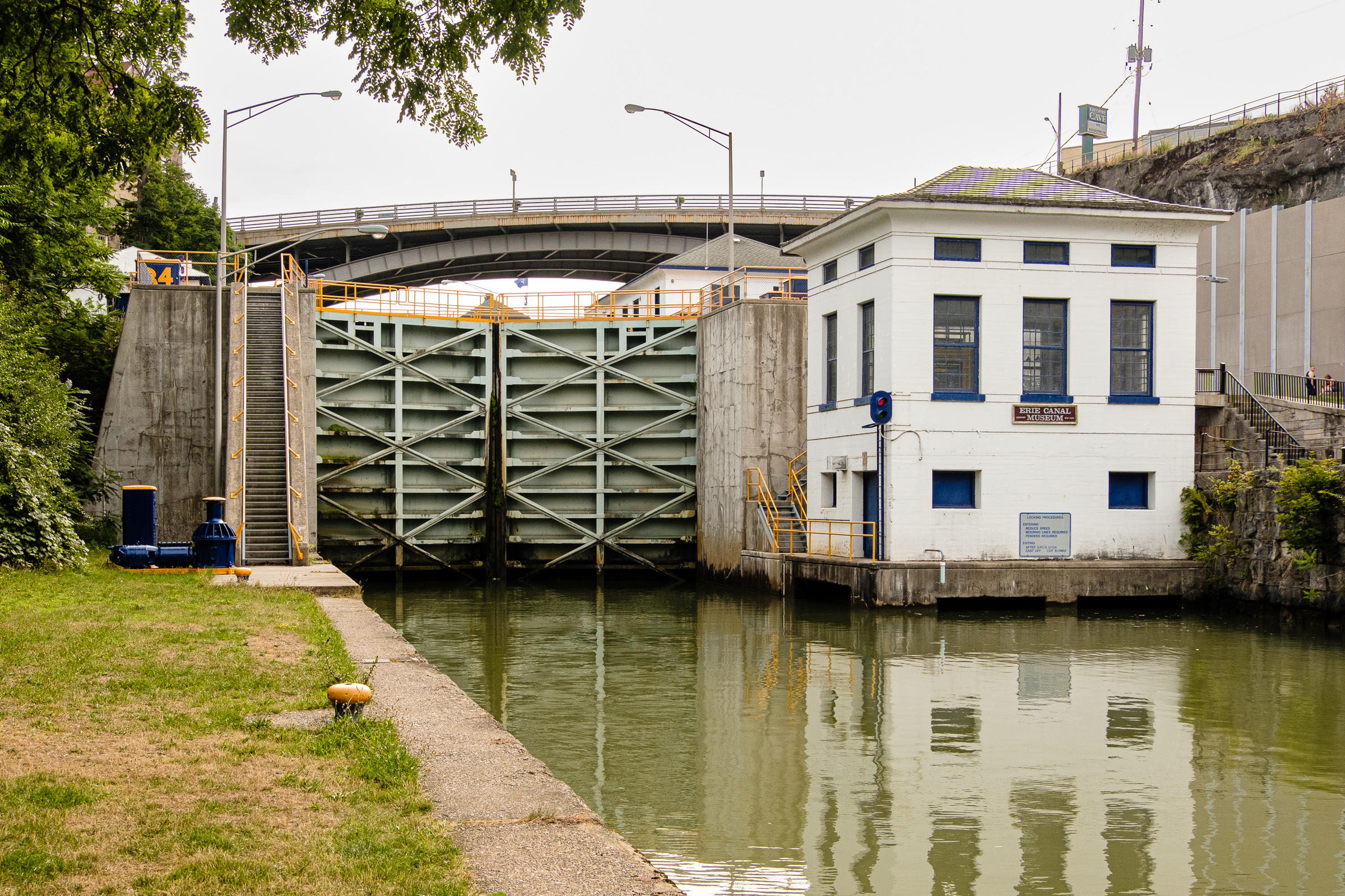
Lock 34 of the Barge Canal and the Erie Canal Museum at the Flight of Five Locks, the Erie Canal, Lockport, August 2018.
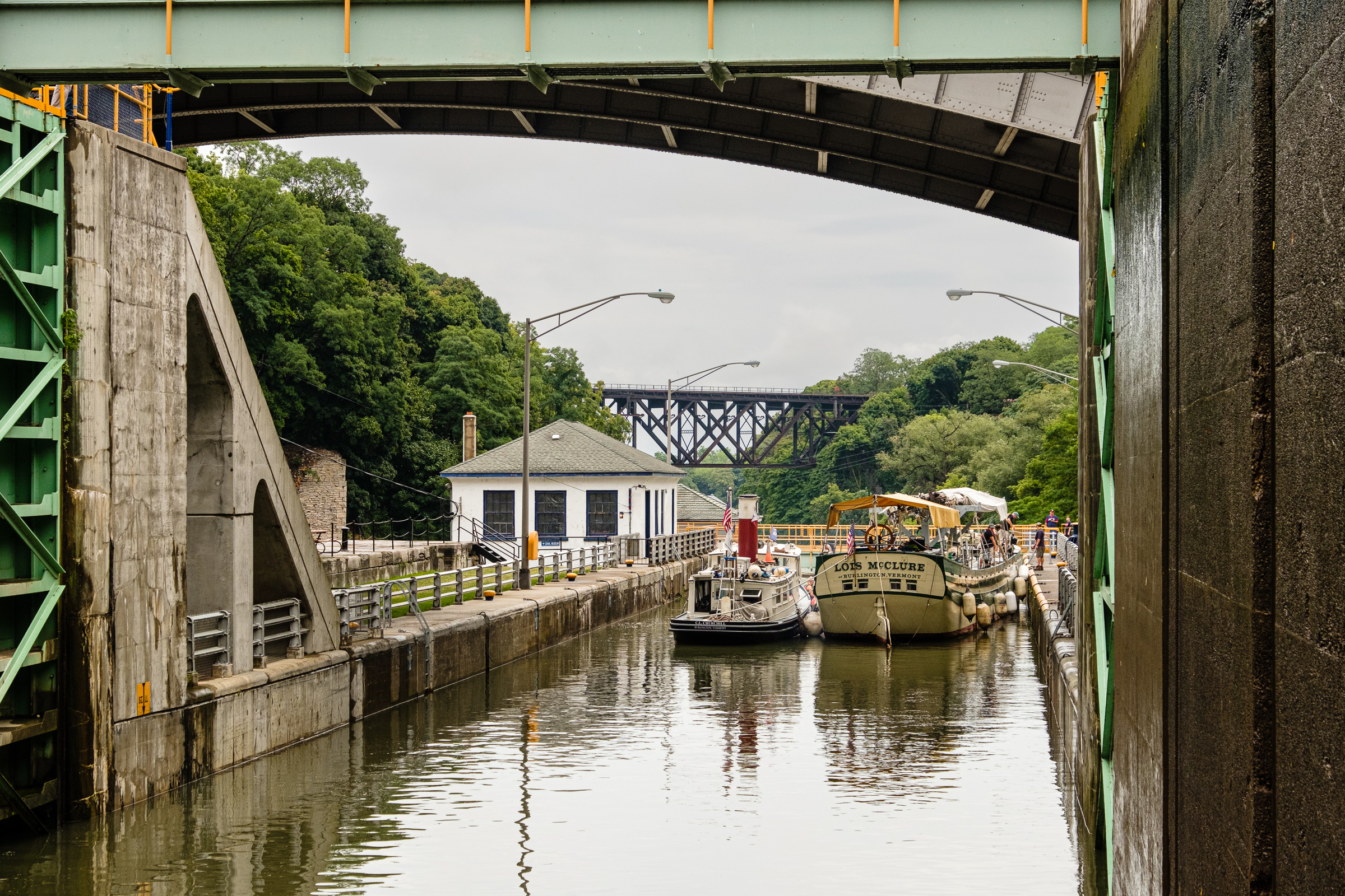
Going through Locks 34 and 35 of the Barge Canal. On the Erie Canal boat tour from Lockport, August 2018.
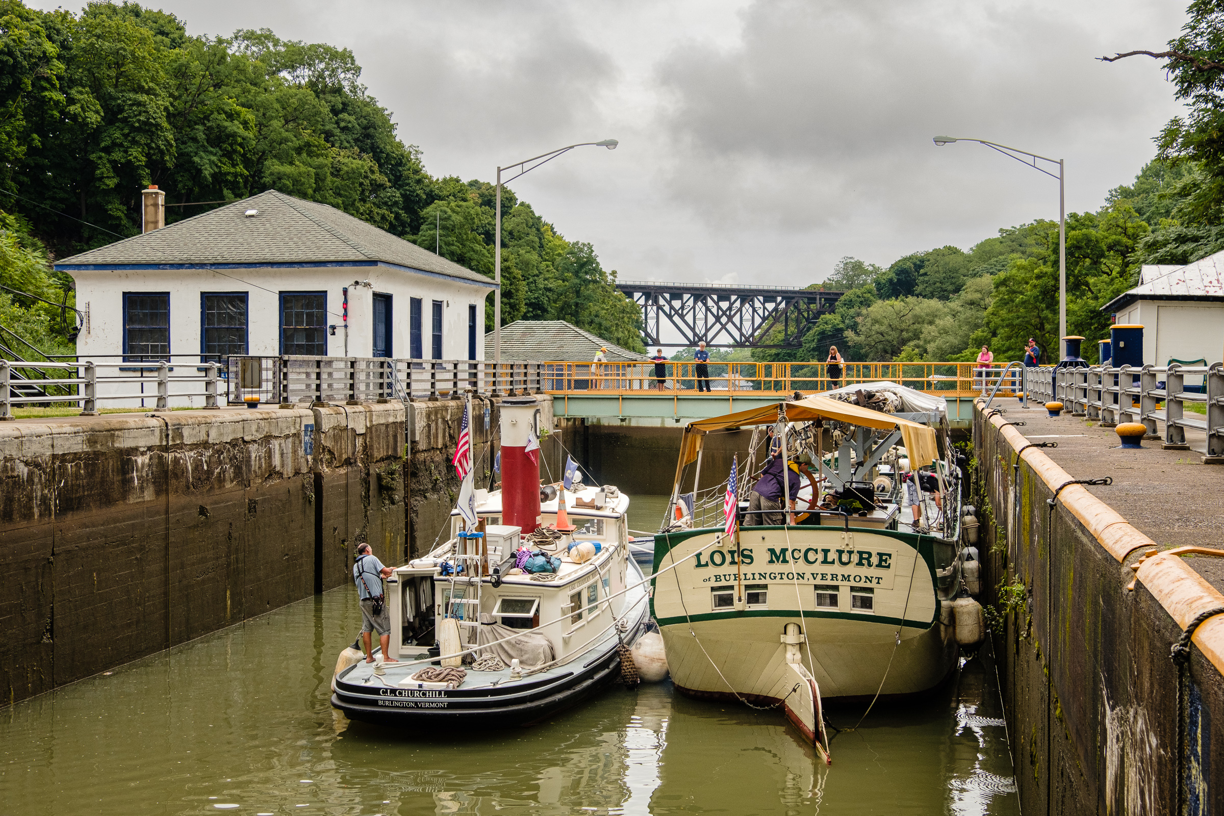
Going through Locks 34 and 35 of the Barge Canal. On the Erie Canal boat tour from Lockport, August 2018.
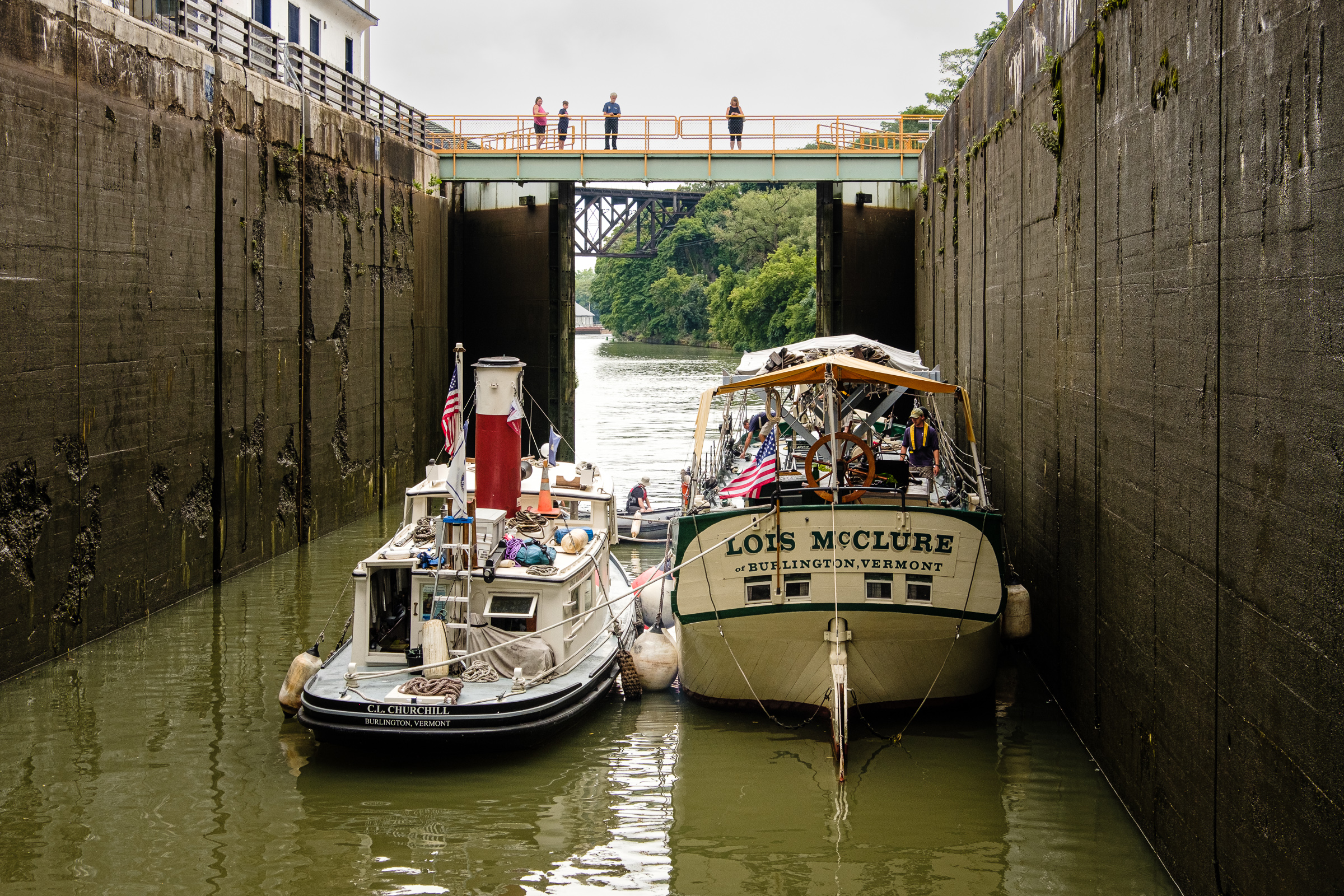
Going through Locks 34 and 35 of the Barge Canal. On the Erie Canal boat tour from Lockport, August 2018.
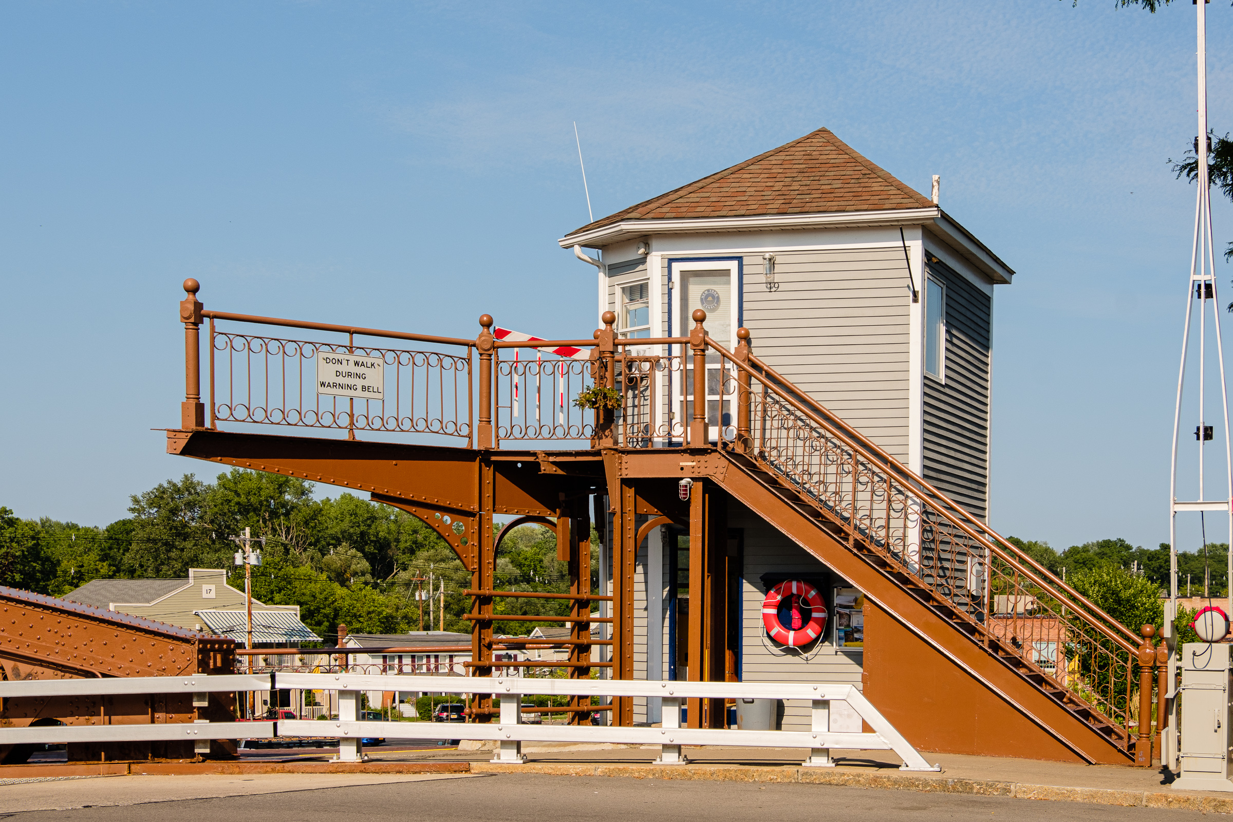
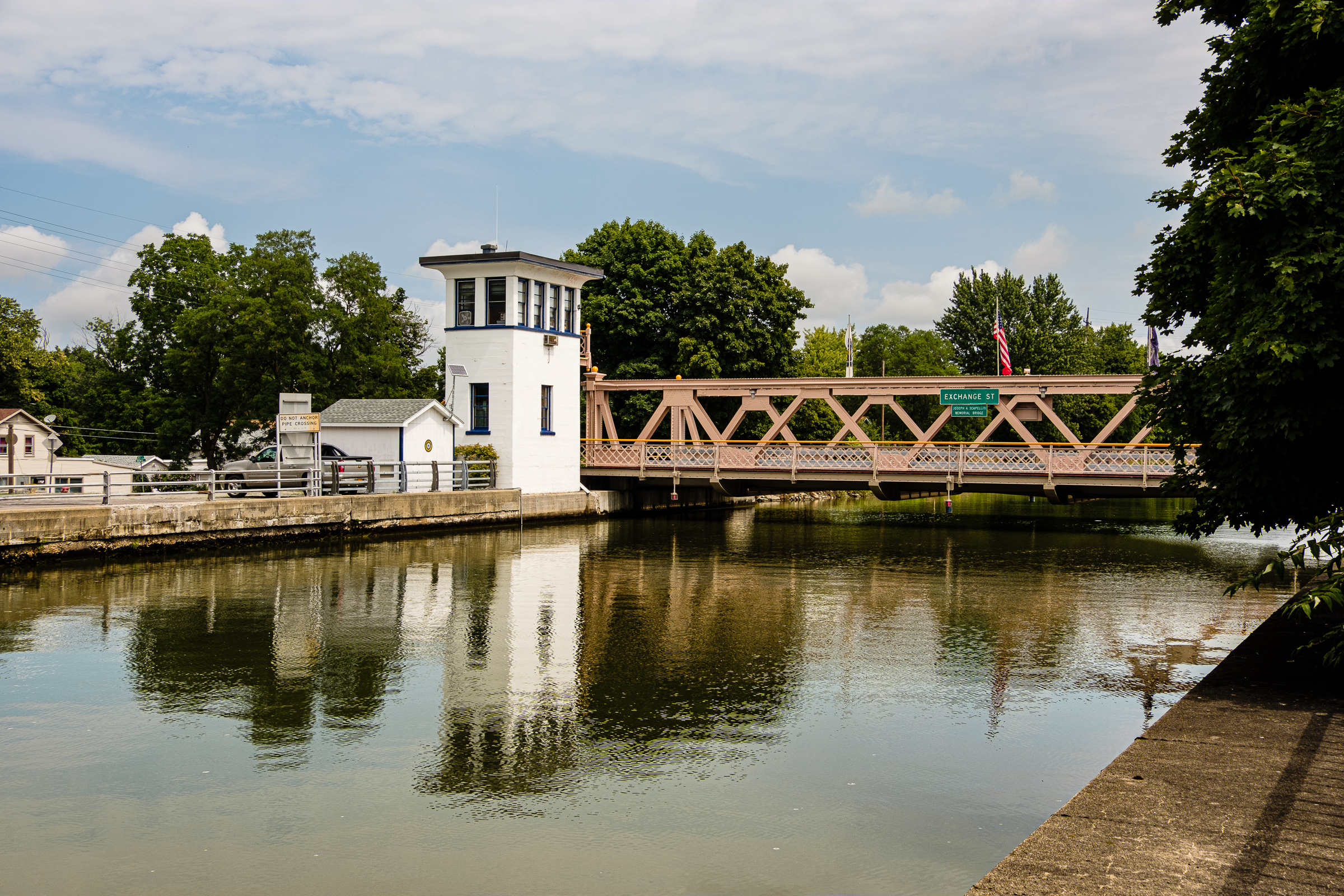
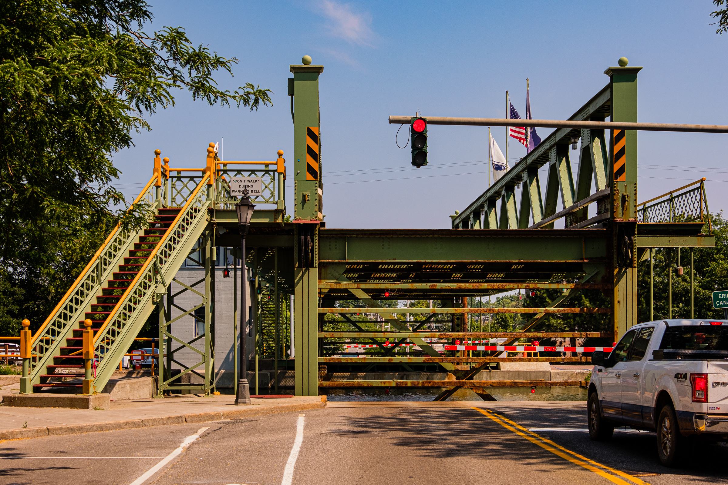
Bridge control tower, Fairport Lift Bridge (1914). Erie Canal at Fairport near Rochester, August 2018.

