 On the Lincoln Highway in Illinois, September 2016.
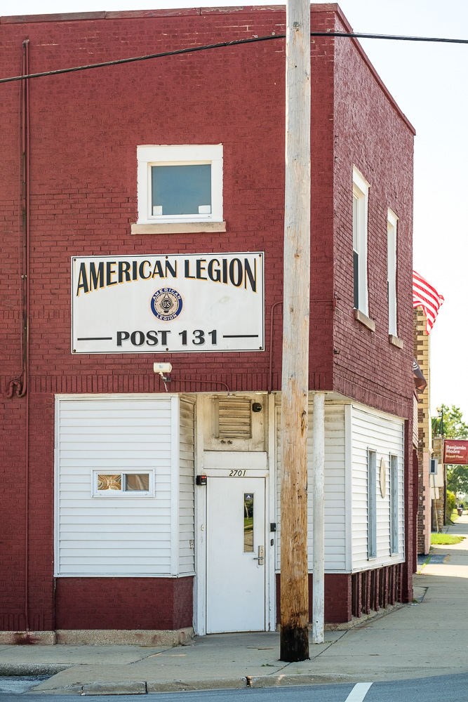
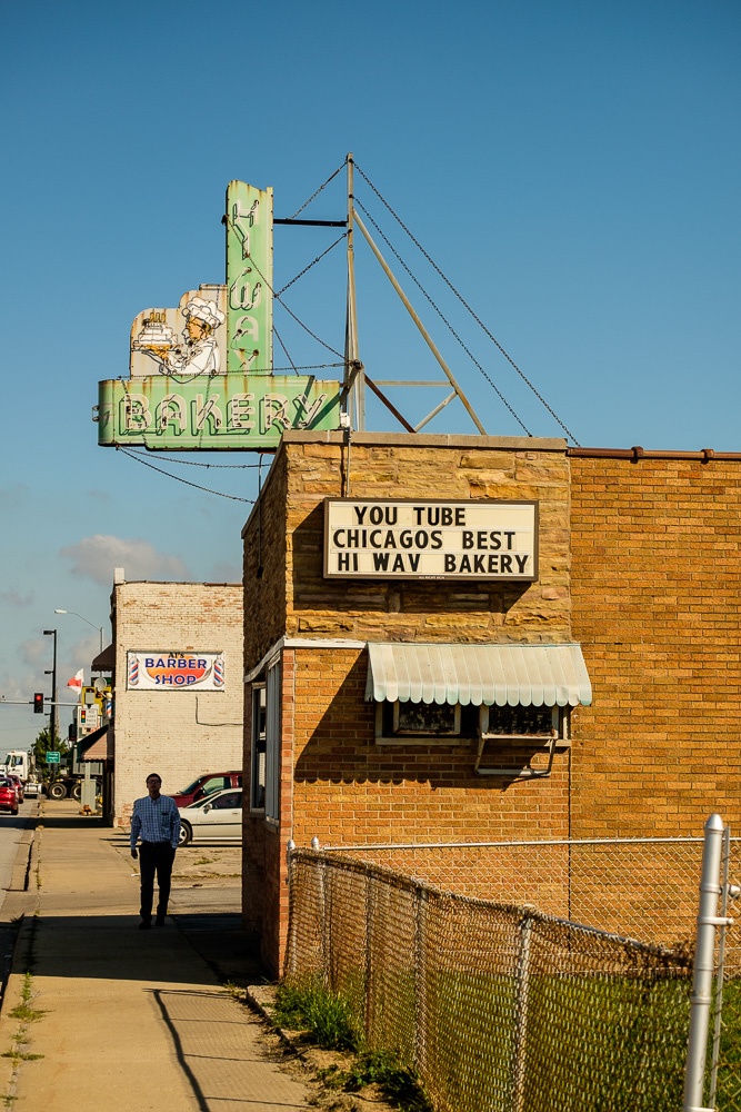
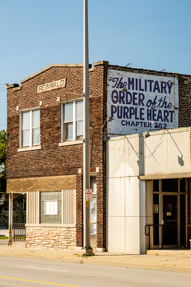
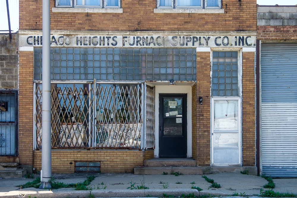
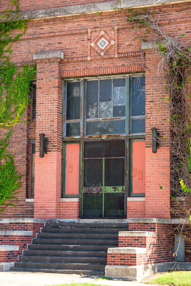
My first stops were in South Chicago Heights and Chicago Heights. Both seemed to be looking a little worse for wear.
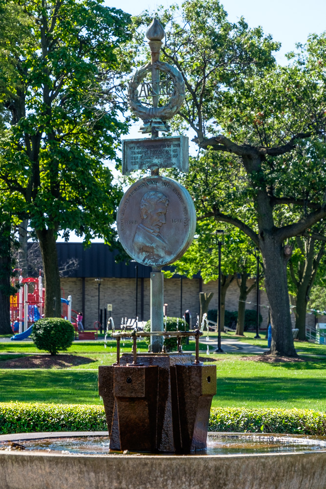
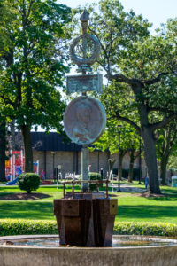
In Chicago Heights, at the “Crossroads of the Nation”, i.e. the intersection of the west branch of the north/south Dixie Highway and the “second generation” routing of the east/west Lincoln Highway via US 30 (I came in from Indiana on the original 1913 road via Sauk Village), there is the historic Arche Memorial Fountain built in 1916 to honor the meeting point of these two storied national roads. One can see it in the fourth picture.
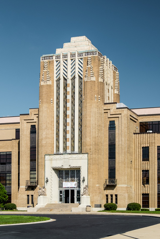
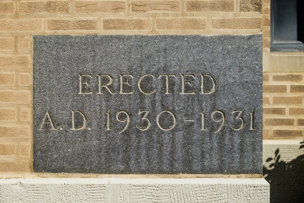
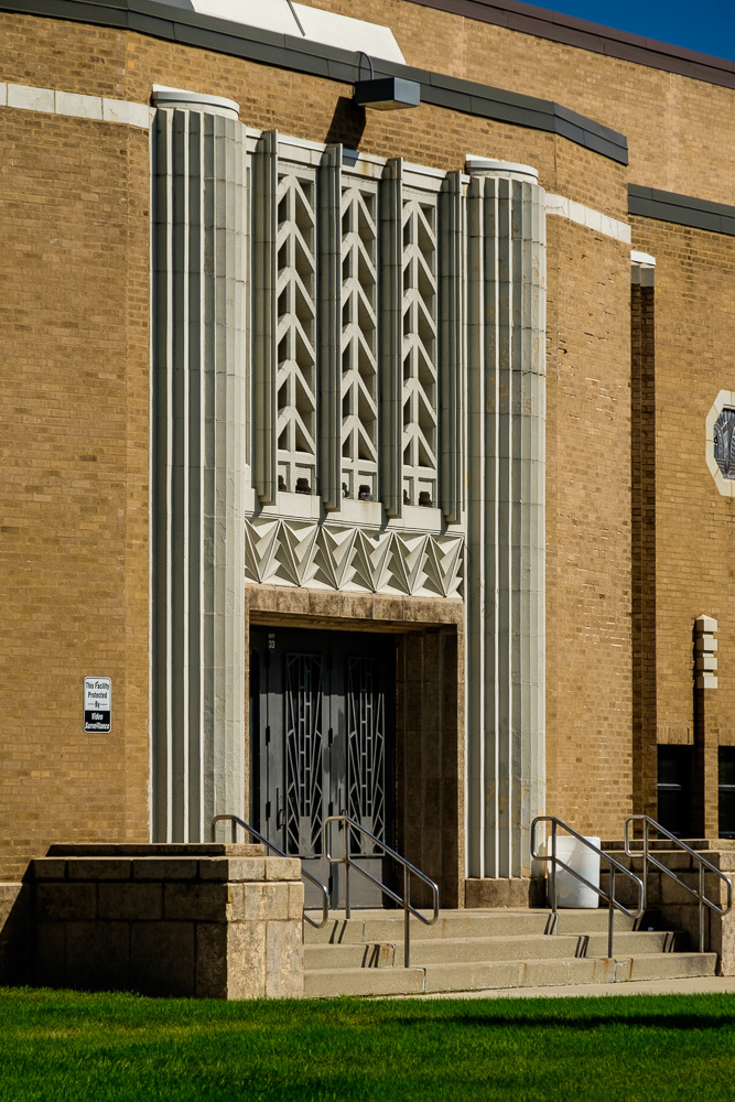
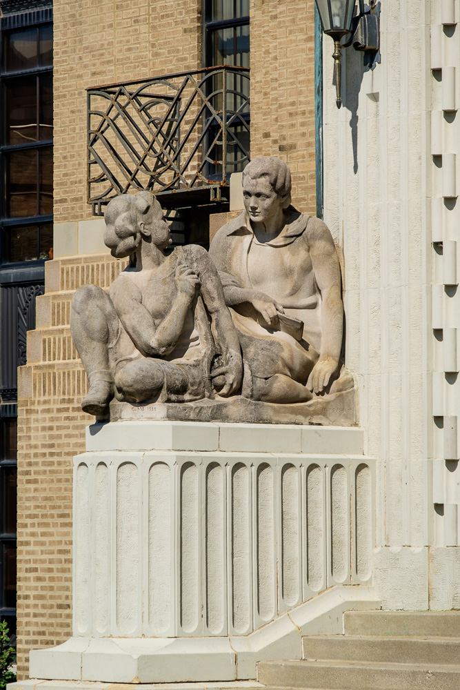
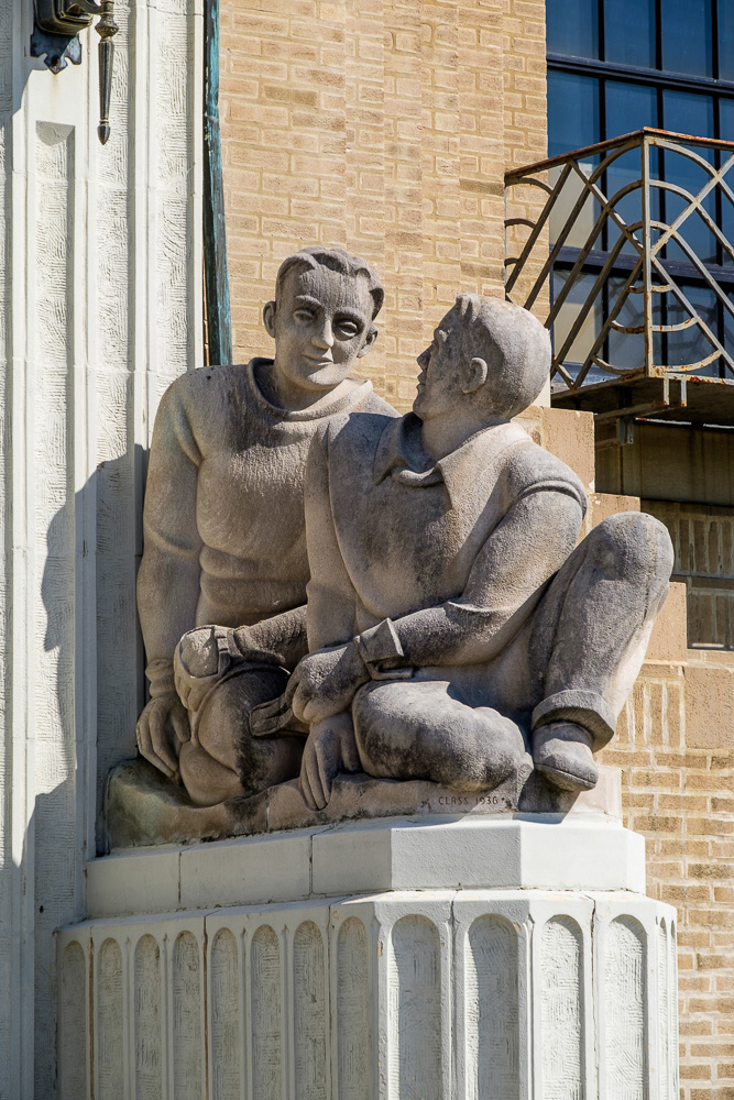
There is a beautiful art deco high school in Chicago Heights which one can see in a few of the following pictures.
Generally, Chicago Heights did not make a very favorable impression, and I did not linger. It had that ravaged Rust Belt look –what little I have read confirmed my impression that this is a place that is really struggling economically and socially. Yet another formerly thriving community now characterized by closed plants and a shrinking industrial base, high unemployment, crime, the ghost town look on too many streets with vacant storefronts and lots, boarded up buildings, etc. It is a pattern repeated often in too many down-and-out and out-and-out declining midwestern industrial cities along the Lincoln Highway.
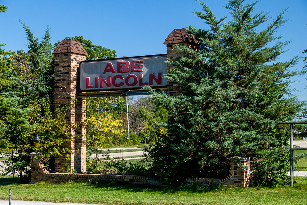
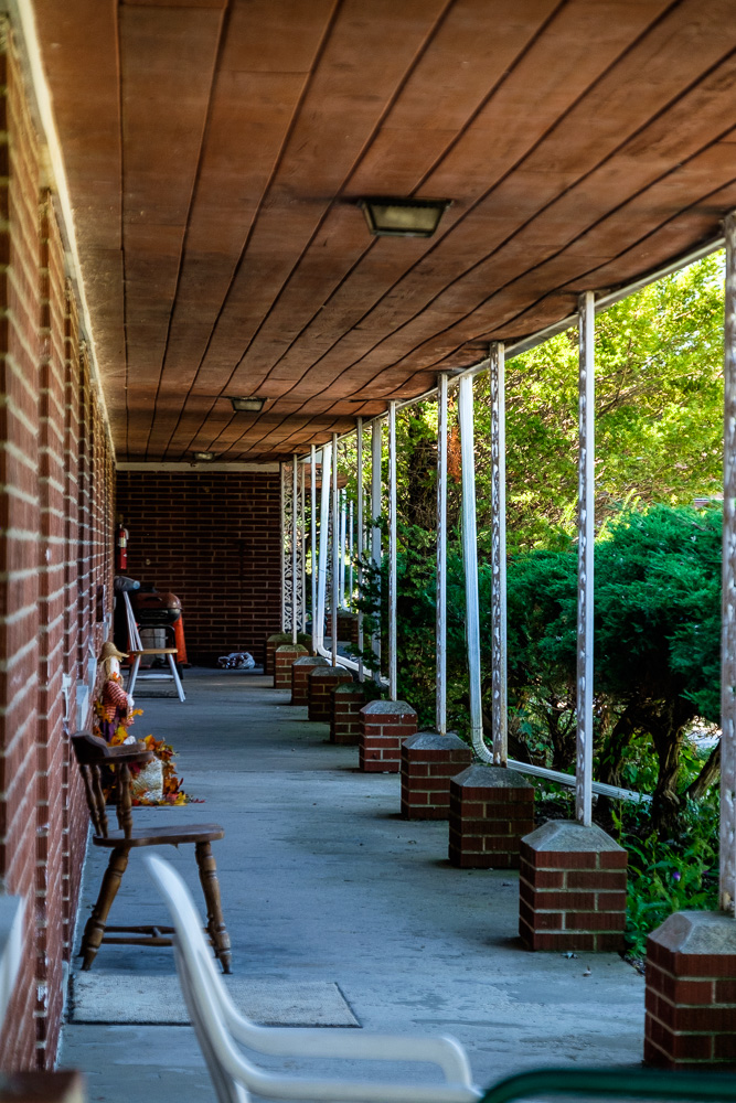
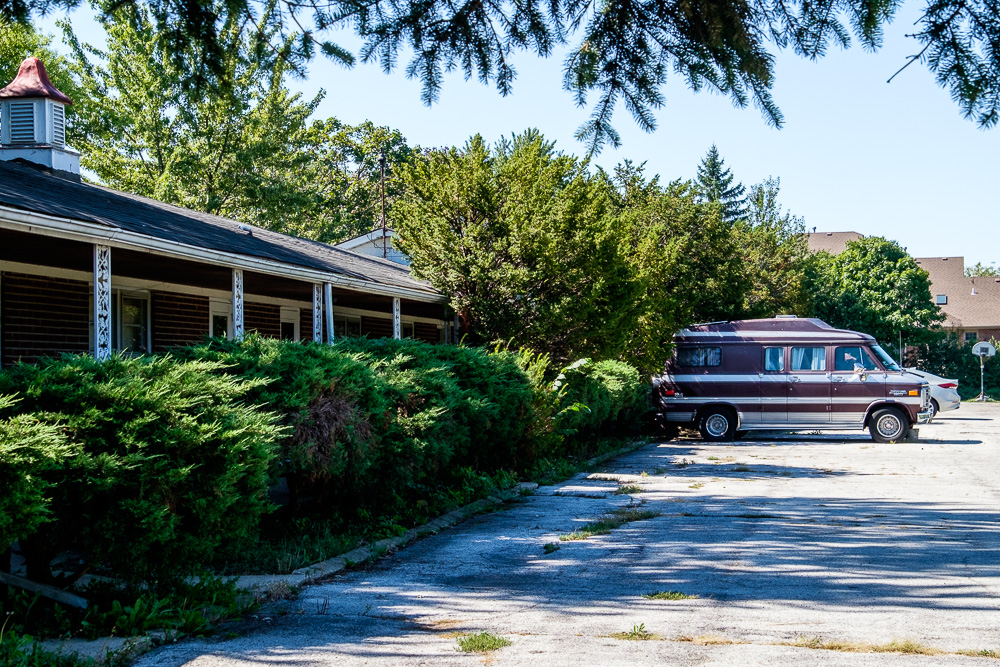
After leaving I passed by the very sad looking Abe Lincoln motel approaching Frankfort. I got some shots but did not linger there either…

