 The Oatman Highway – Kingman AZ to the Colorado River and California.
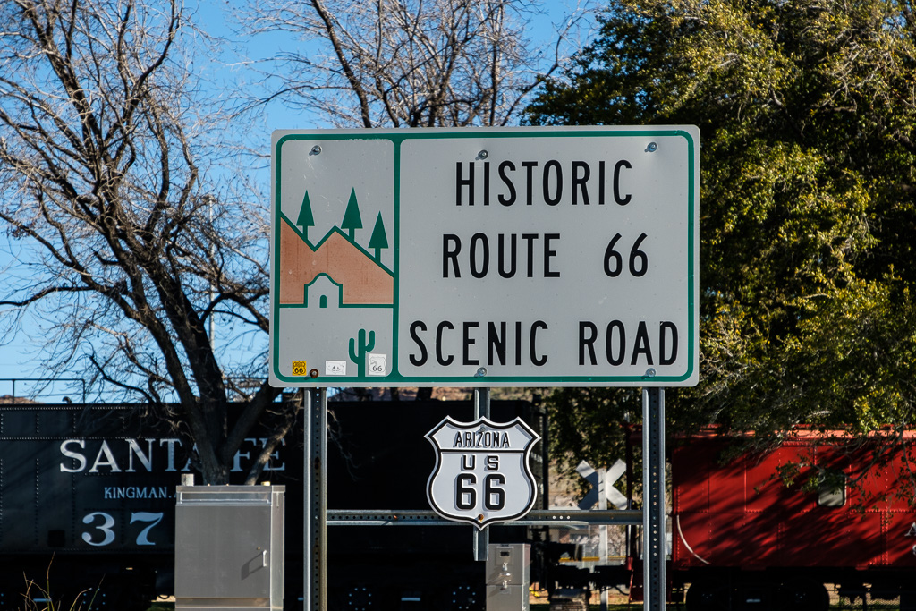
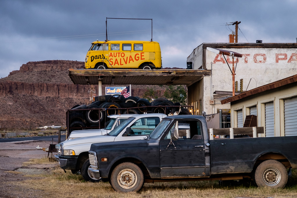
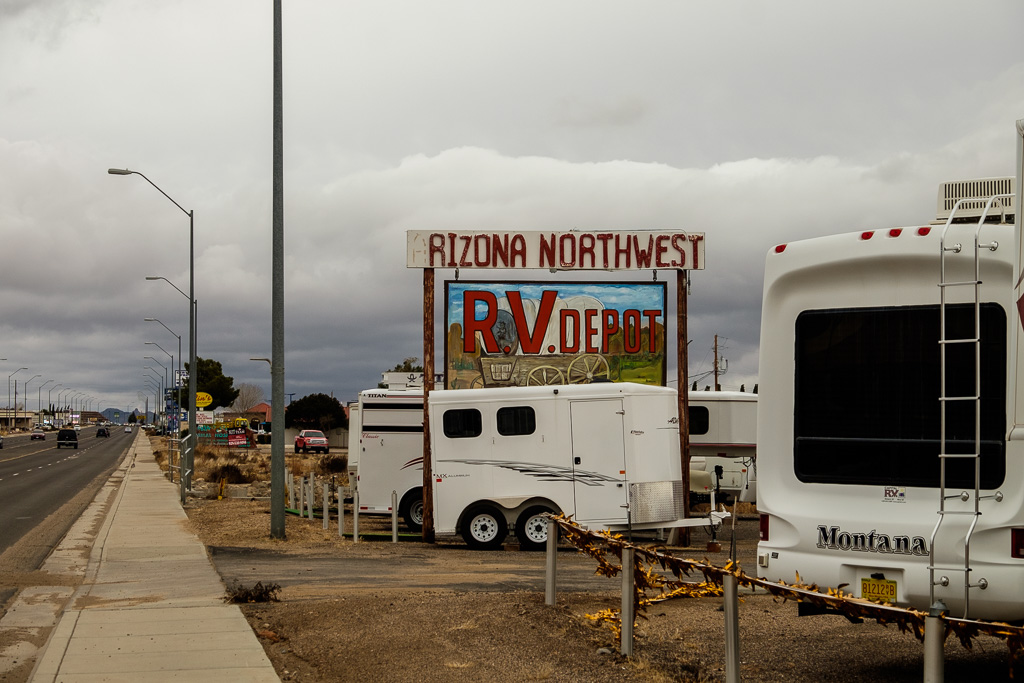
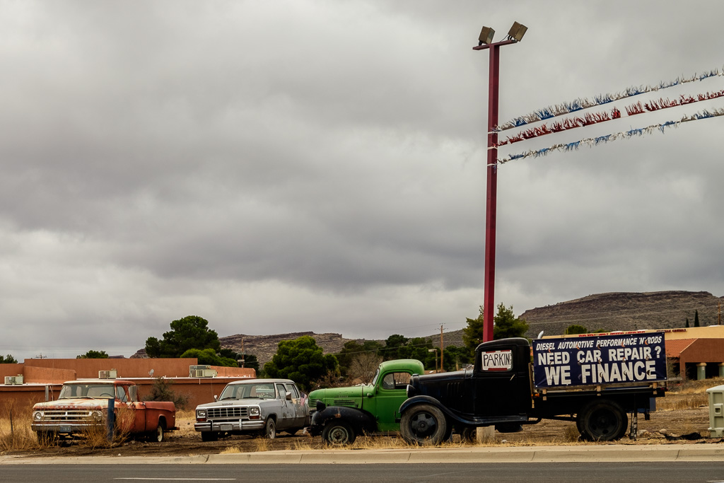
At the beginning of the set are four pictures taken in or near Kingman (three of which are from the cold and cloudy day I was there in January). After that it’s the Oatman Highway through the Black Mountains.
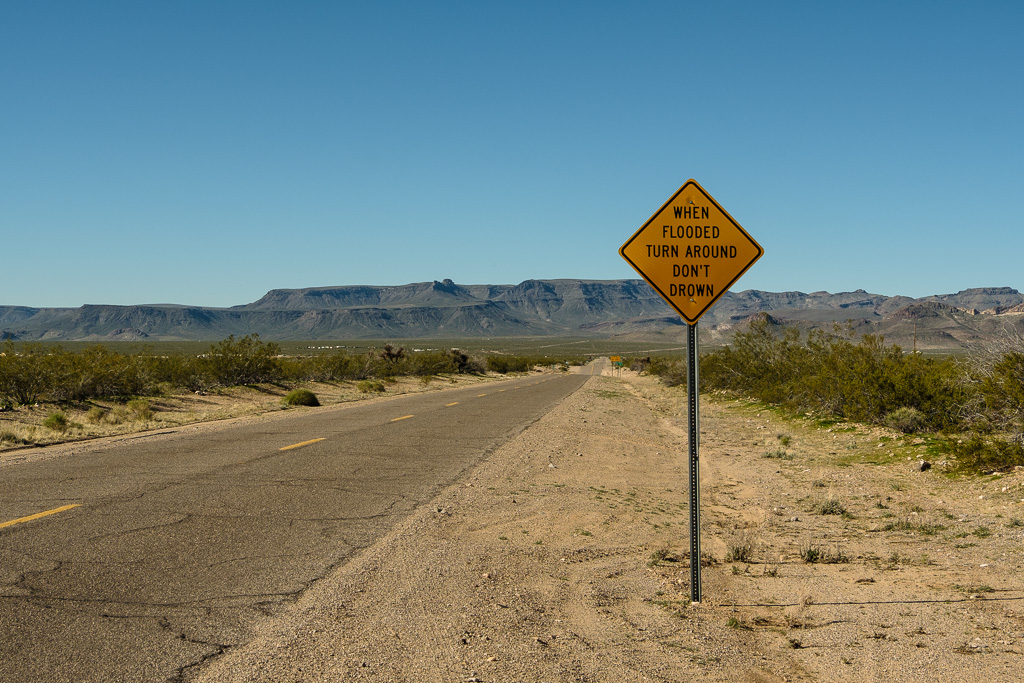
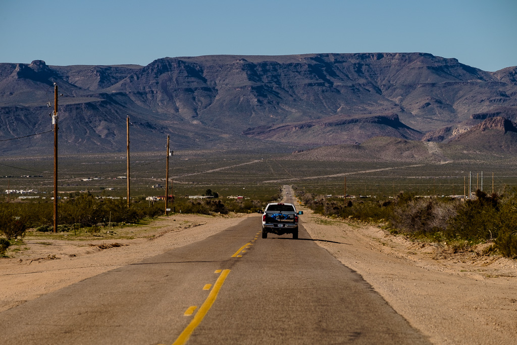
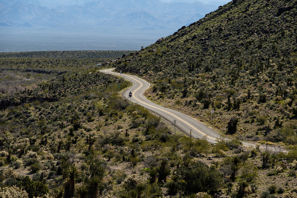
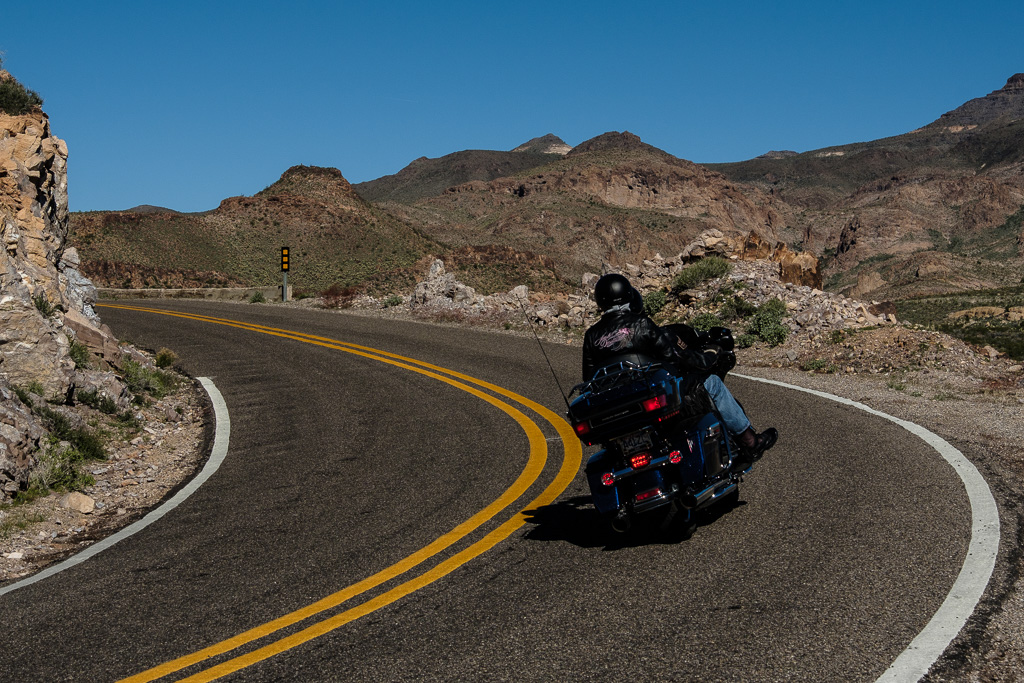
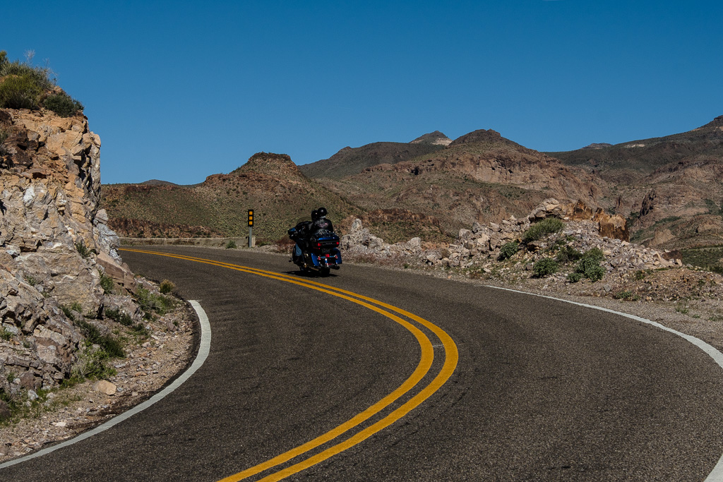
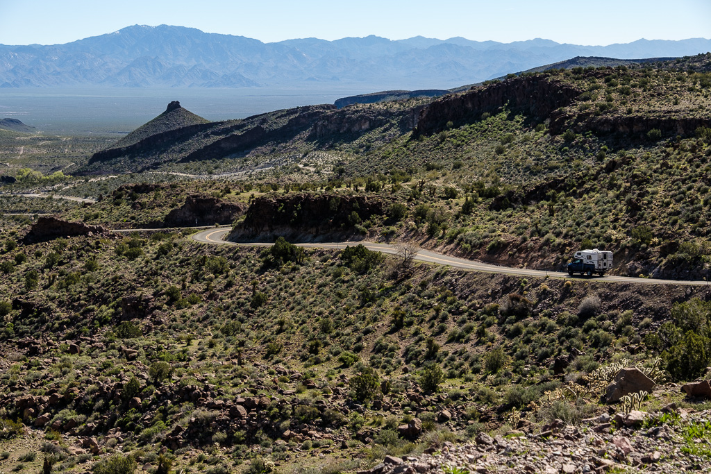
The last part of the Route 66 drive through Arizona was perhaps the best. It certainly was different. I wanted to get off the interstate, and this stretch of Route 66 sure ticked that box: mostly a narrow two-lane road with no shoulders, some really tight switchbacks and a lot of steep drop-offs.
It’s a demanding, somewhat unnerving, often spectacular and very satisfying drive. I wouldn’t recommend it in an RV.
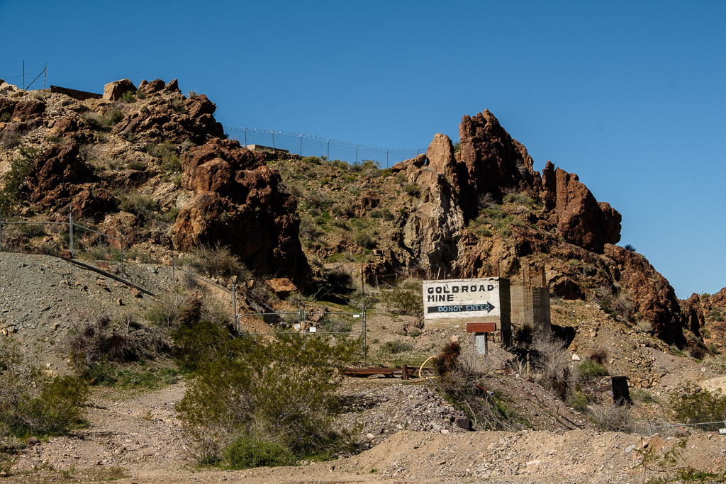
Once up in the Black Mountains it’s one hairpin turn after another. It is not easy driving. It’s an older alignment which was bypassed way back in 1951. Supposedly it was the most intimidating (and dangerous) stretch of Route 66.
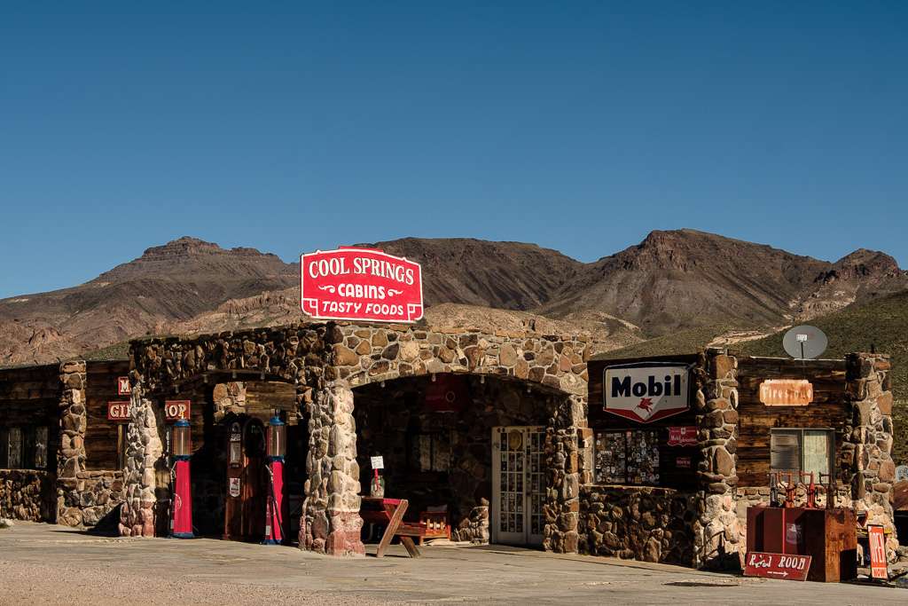
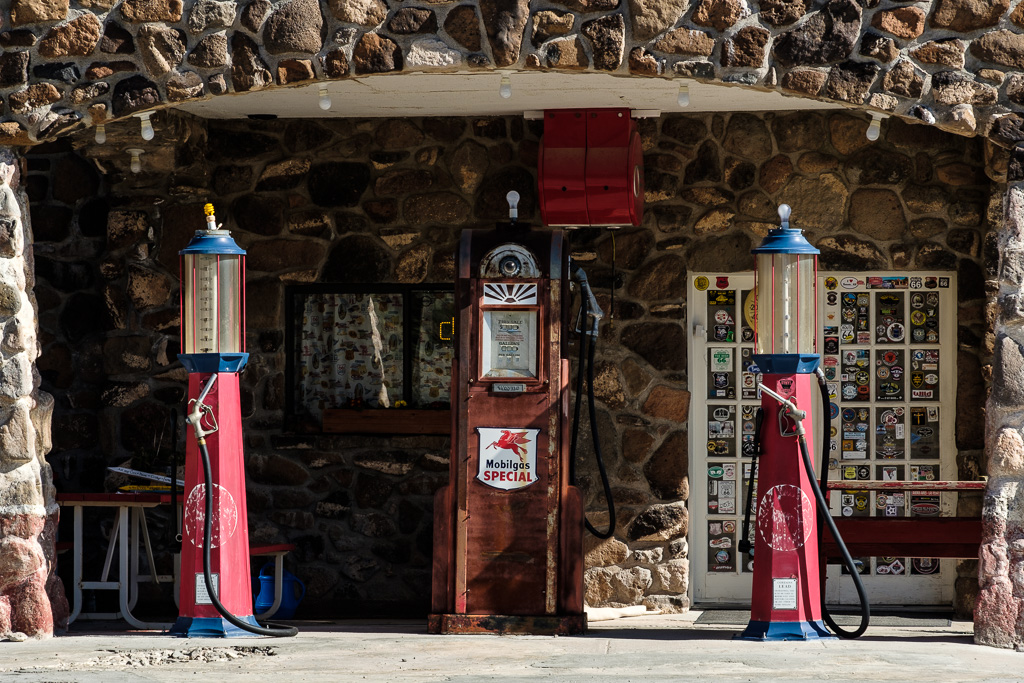
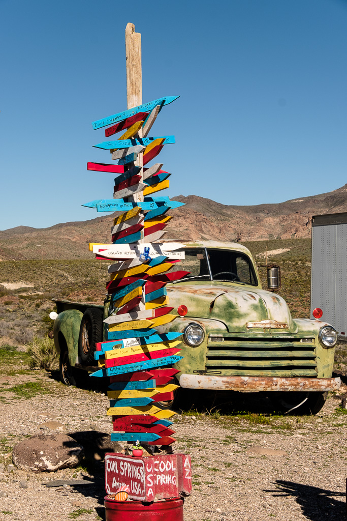
Along the way is rebuilt Cool Springs station (reopened in 2004). Before it was rebuilt the ruins were used as the location for the movie “Universal Soldier” with Dolph Lundgren and Jean-Claude Van Damme (1991). The set was constructed on what was left of the old abandoned site and then blown to smithereens.
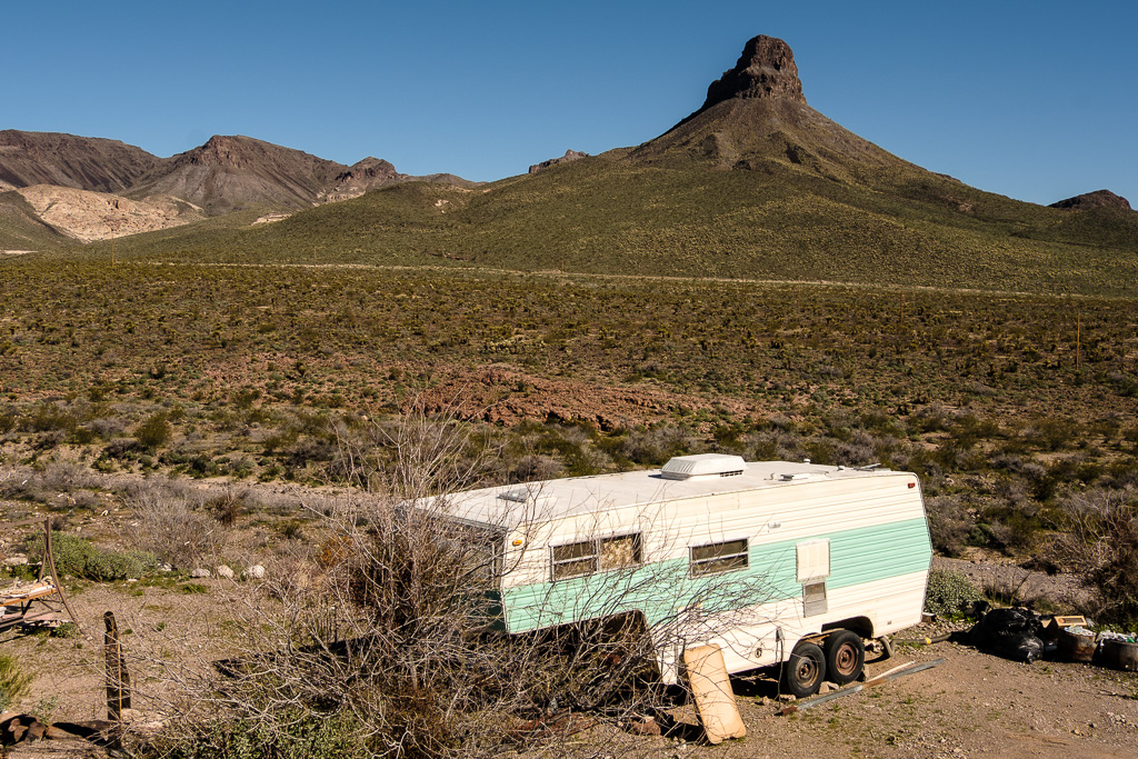
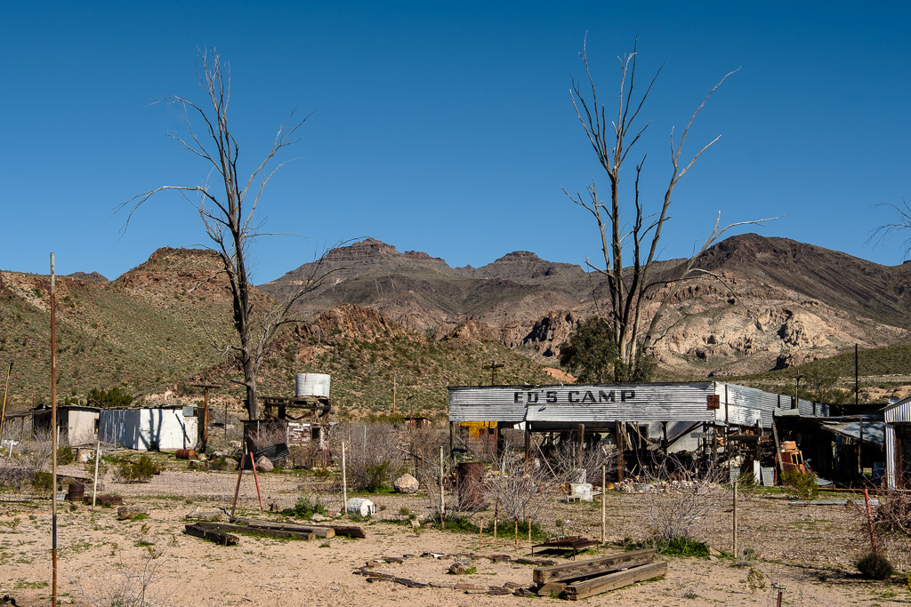
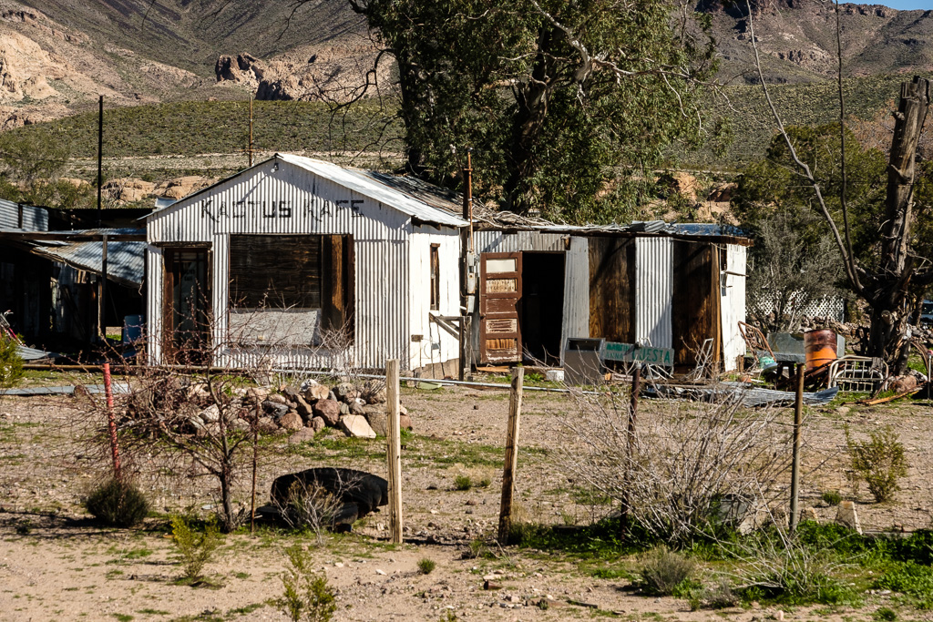
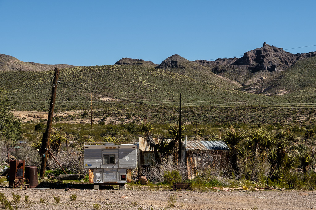
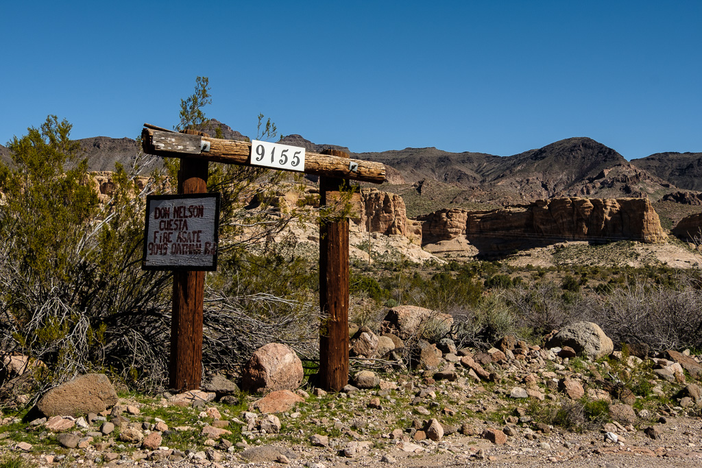
Also, rustic (and really odd) Ed’s Camp sits there baking away in the desert mountains. Unlike Cool Springs it is definitely not open to the public. There were a few houses along the road but not a lot.
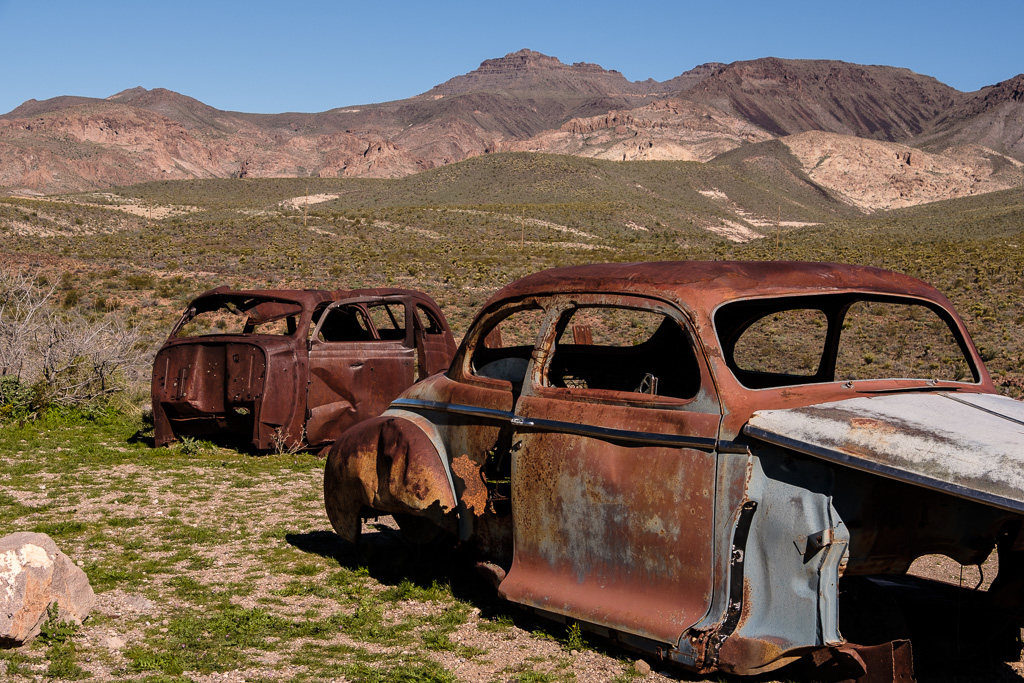
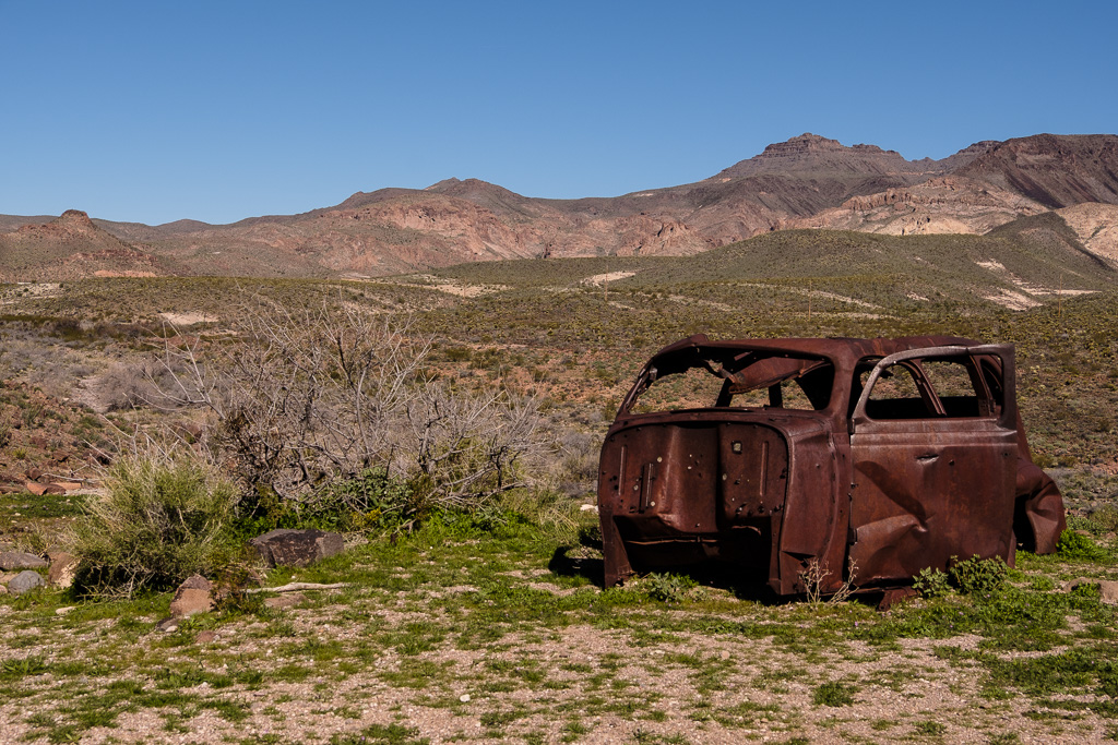
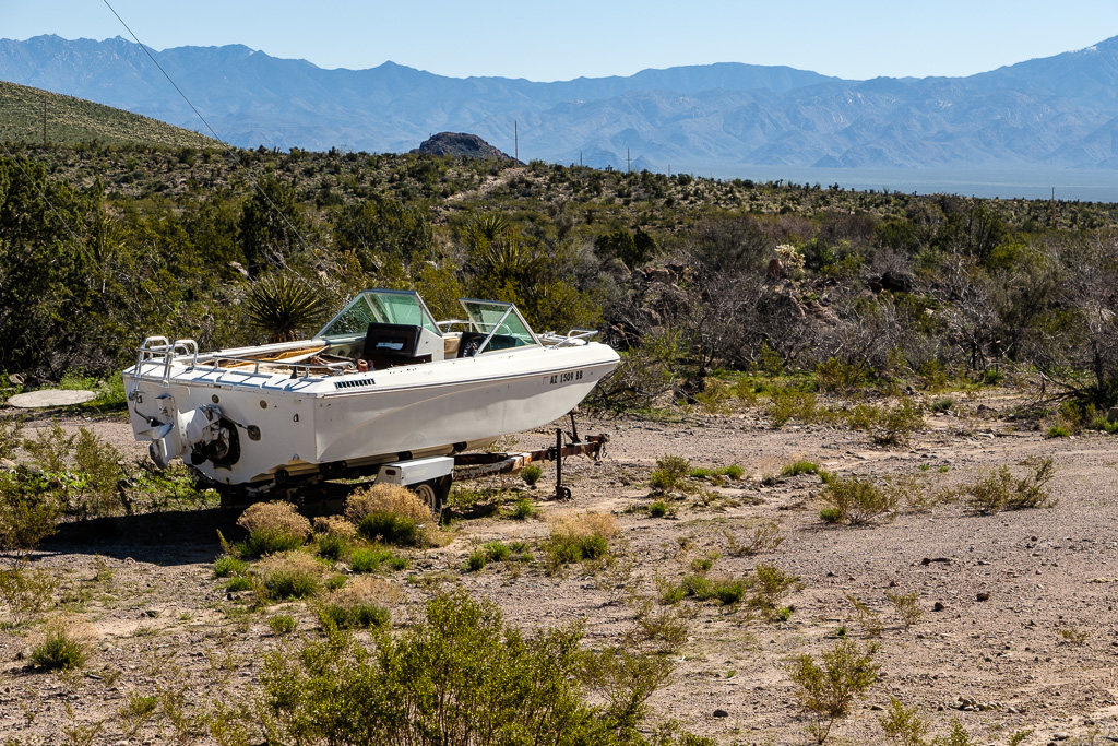
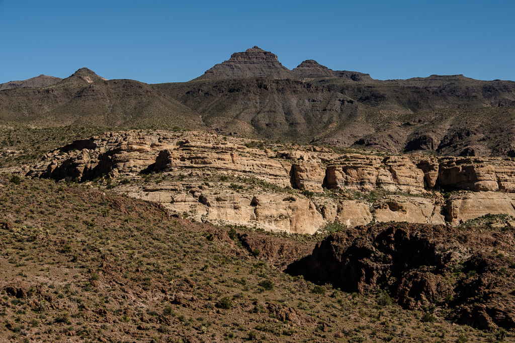
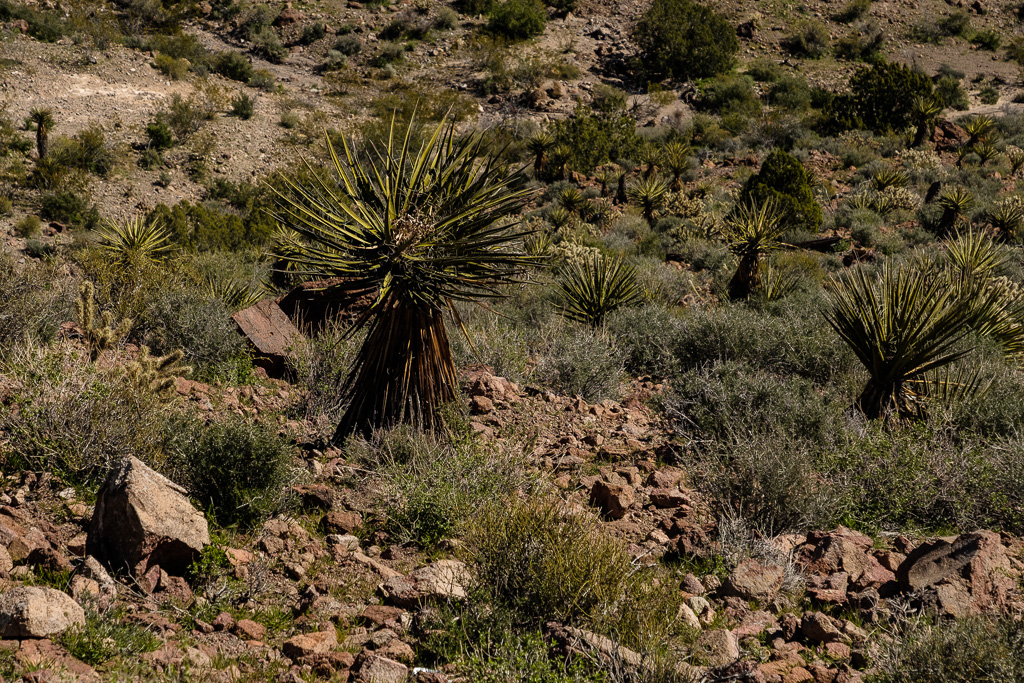
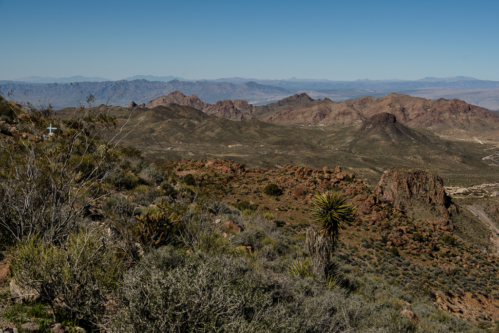
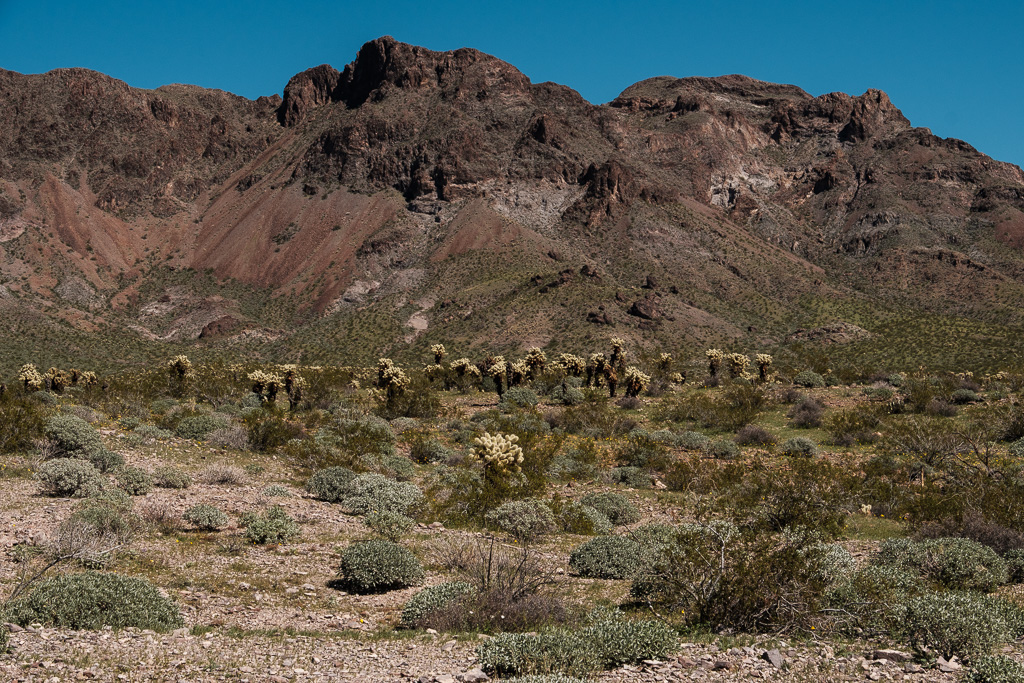
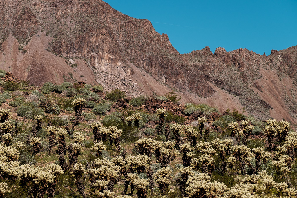
This is hot, dry and forbidding terrain but with its own almost surreal beauty. As with New Mexico, the other parts of Arizona and the California desert to come, I am glad I did the drive in March.
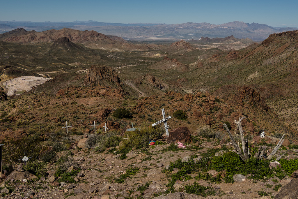
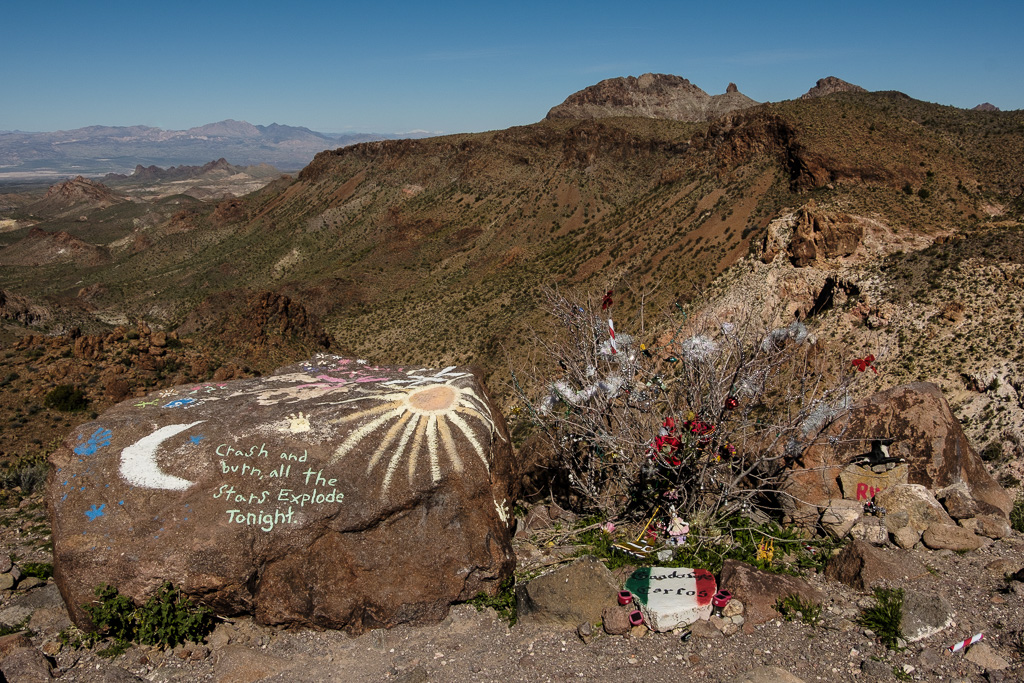
I drove over the summit of Sitgreaves Pass (elevation of 3556 ft.); it is an impressive panoramic view of the states of Arizona, California, and Nevada. I read later that the grave markers at the pass actually are memorials to people whose ashes are scattered there at the summit.
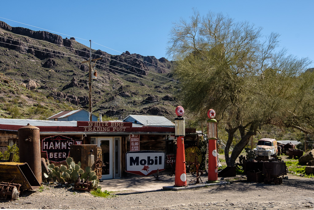
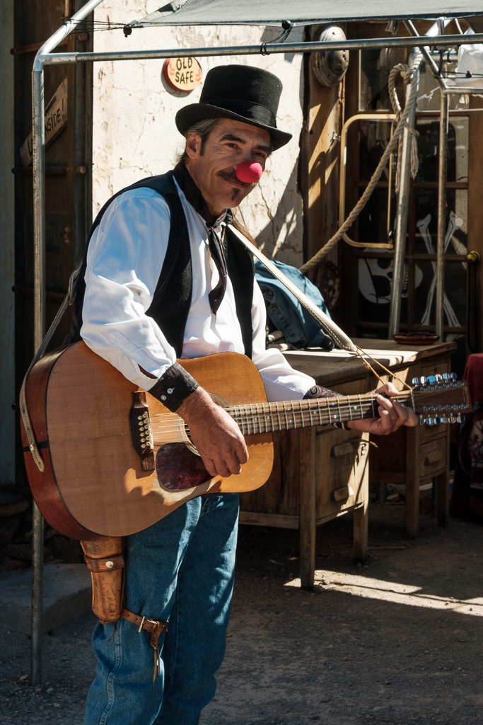
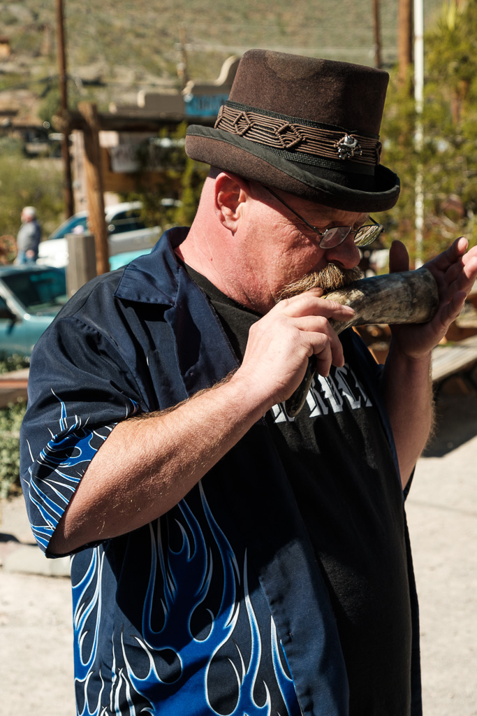
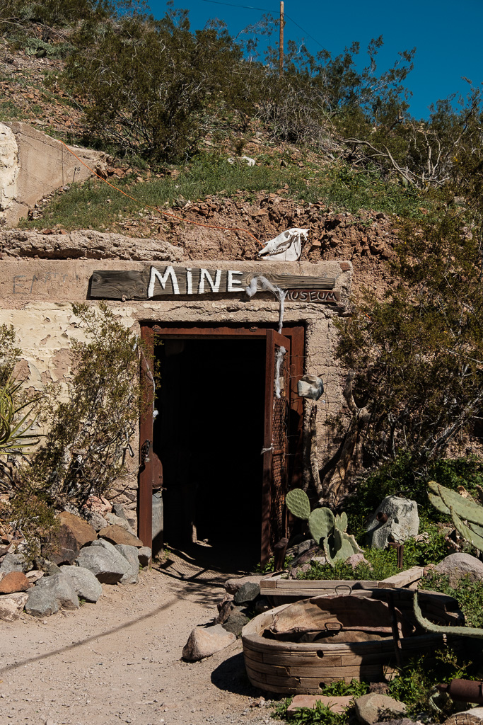
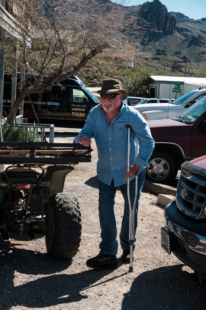
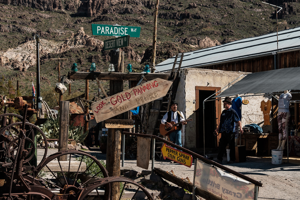
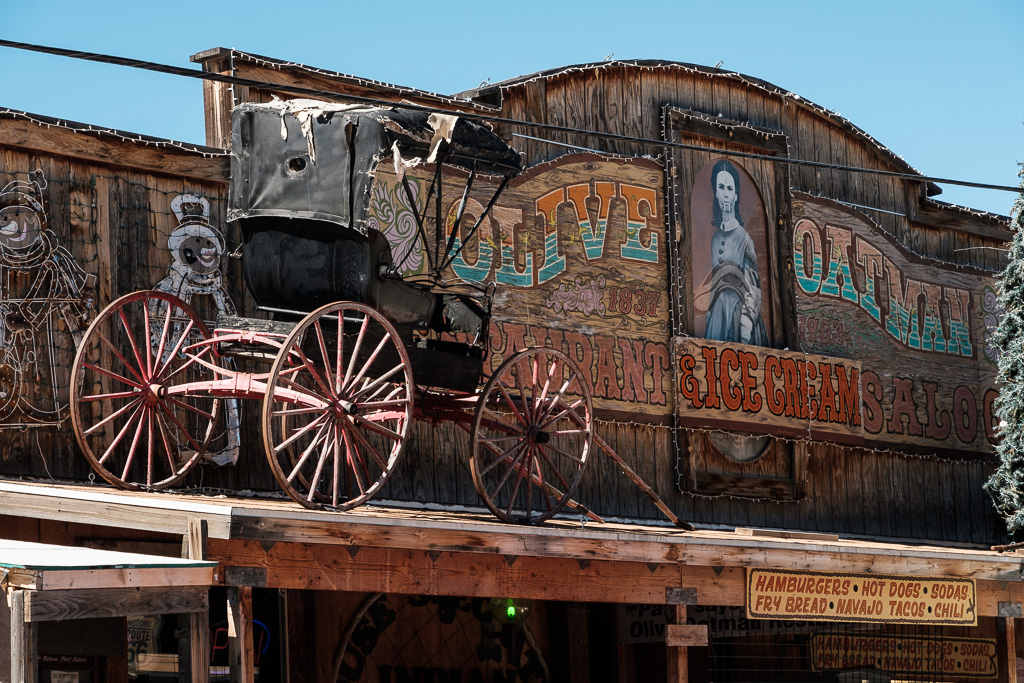
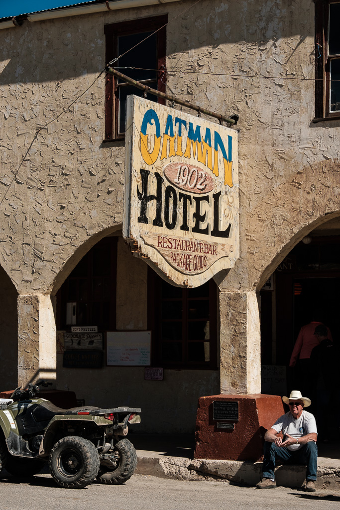
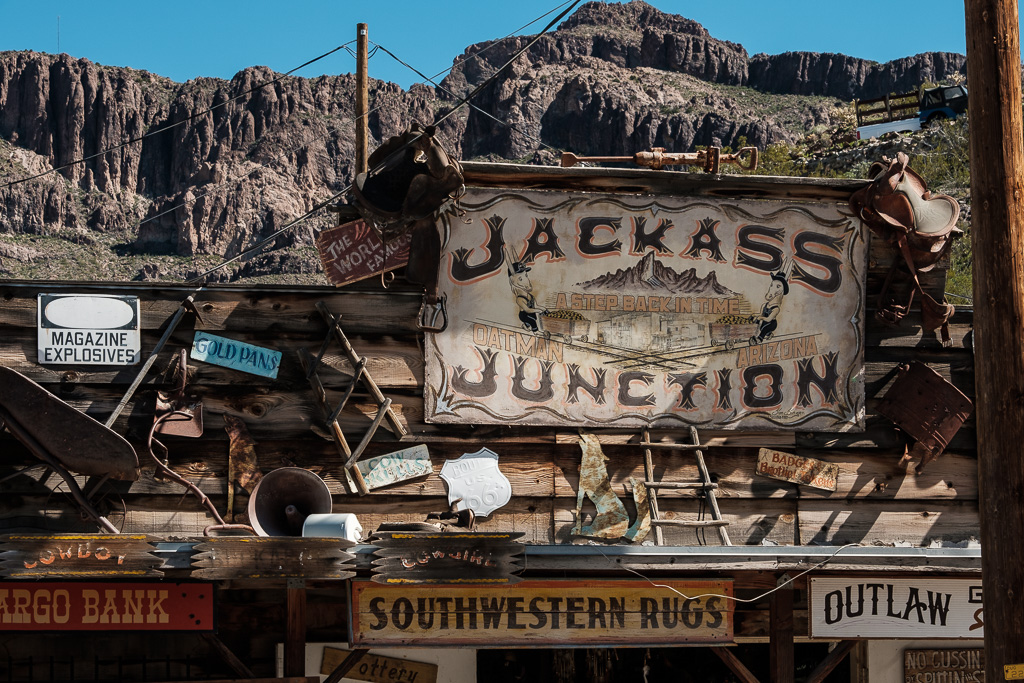
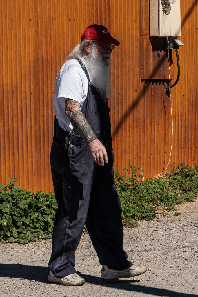
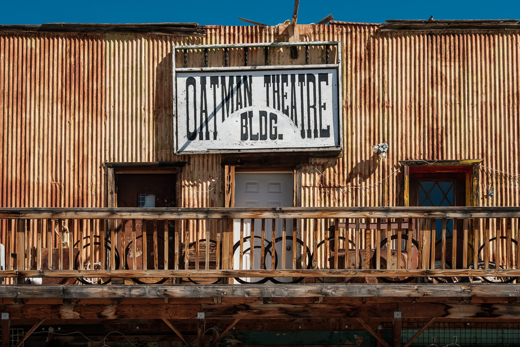
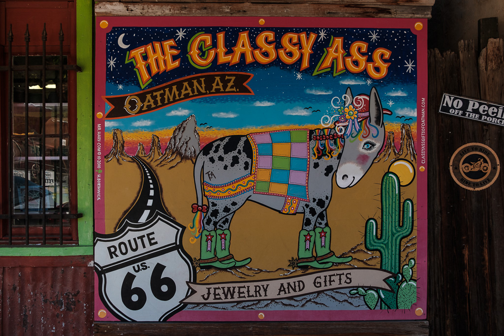
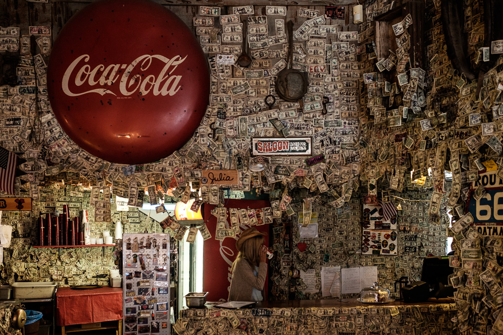
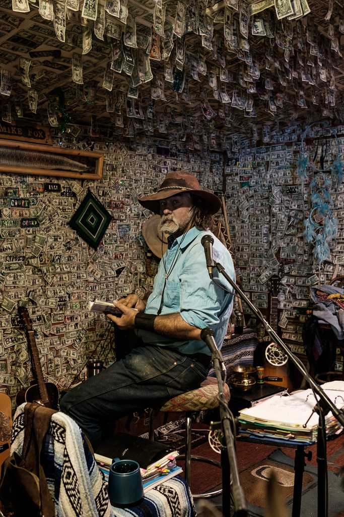
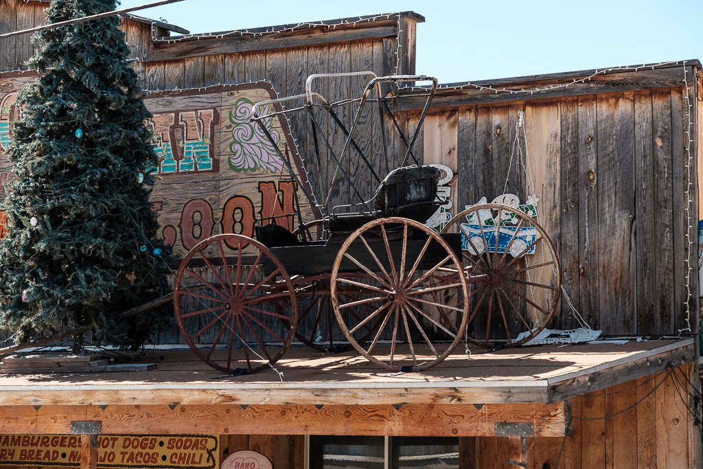
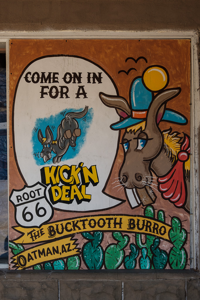
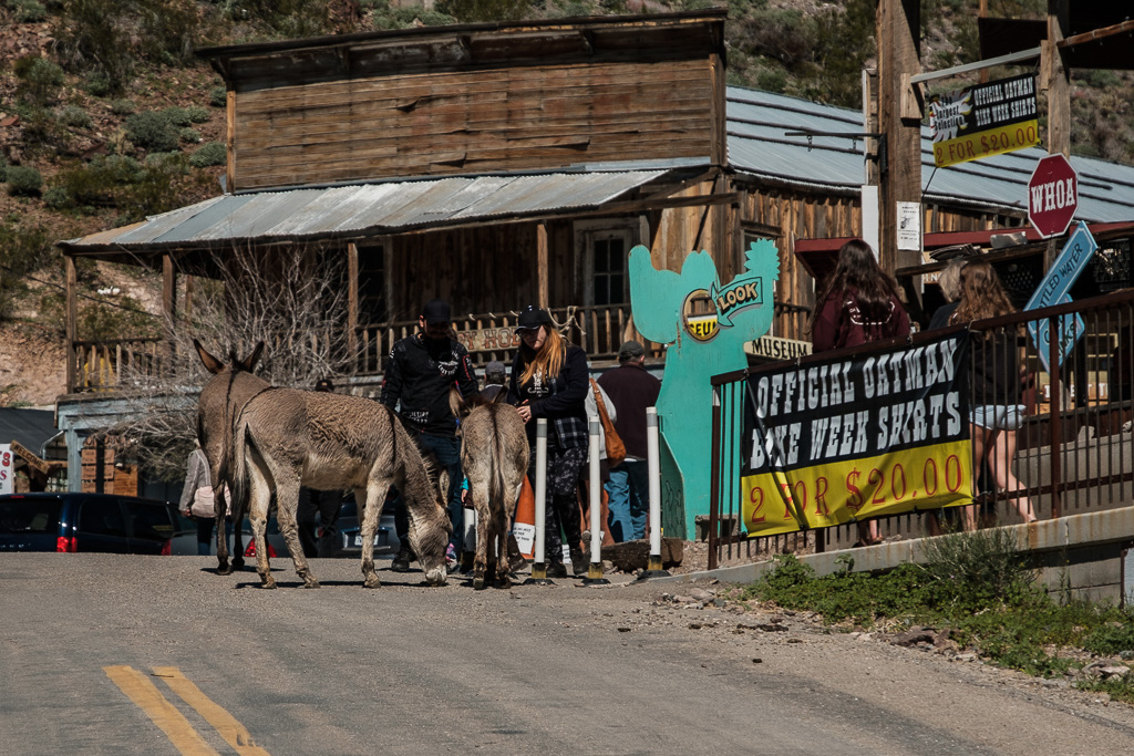
Oatman was once a thriving gold mining town. I read that at one time about 10,000 people were living in and around the town; the 2010 census number is 135. It gets a lot of tourist traffic but the day I was there was tolerable. The movies “How the West Was Won” and “Edge of Eternity” (among others) were filmed there. It’s not a Wild West movie set, however; this is the real deal. There were once 20 saloons along the main street in Oatman’s heyday.
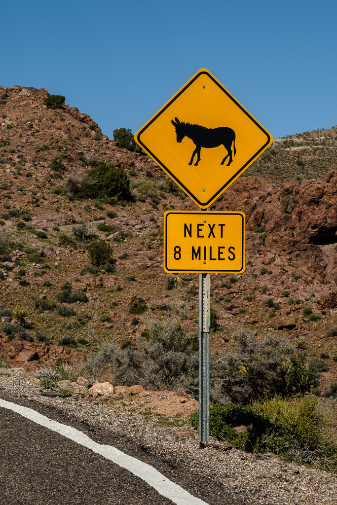
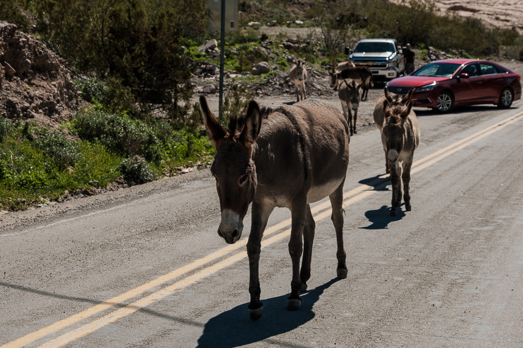
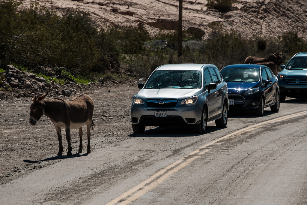
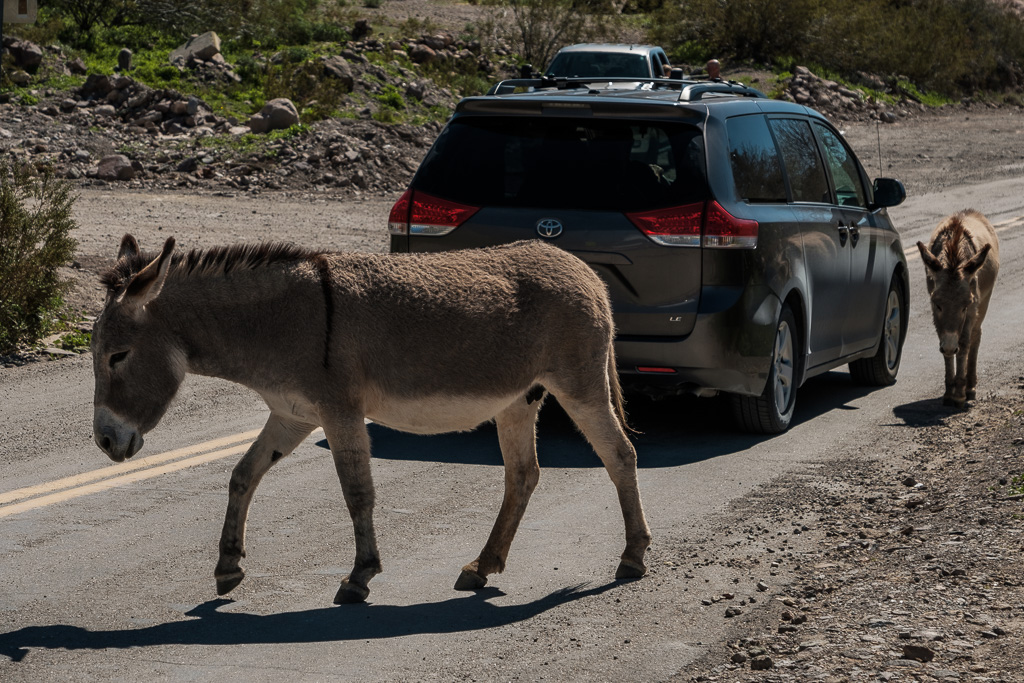
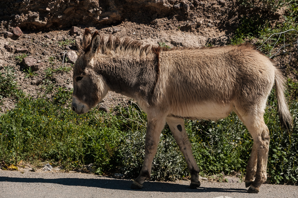
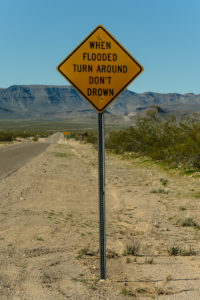
I needed to watch out for the wild burros! My Route 66 guide had warned me (and that road sign was there too); no kidding.
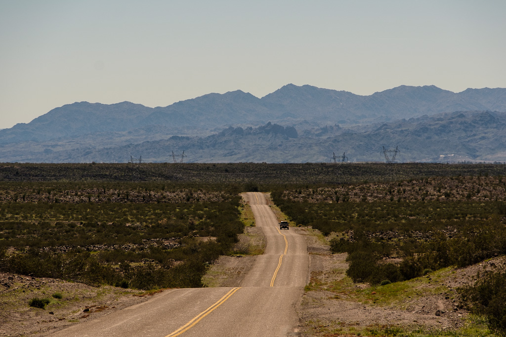
After Oatman I drove back down the mountains on my last stretch of Route 66 in Arizona descending to the Colorado River and California. I was surprised by how green the western side was – after all the rain this last rainy season in California the desert was like a garden. The very last picture was taken on the road right before I turned off for the bridge over the Colorado to Needles CA – Arizona was a wrap, and my epic Route 66 drive soon would be a wrap too but only after getting through the Mojave Desert (which will be the next post)…

