 On the 1928 route in San Francisco.
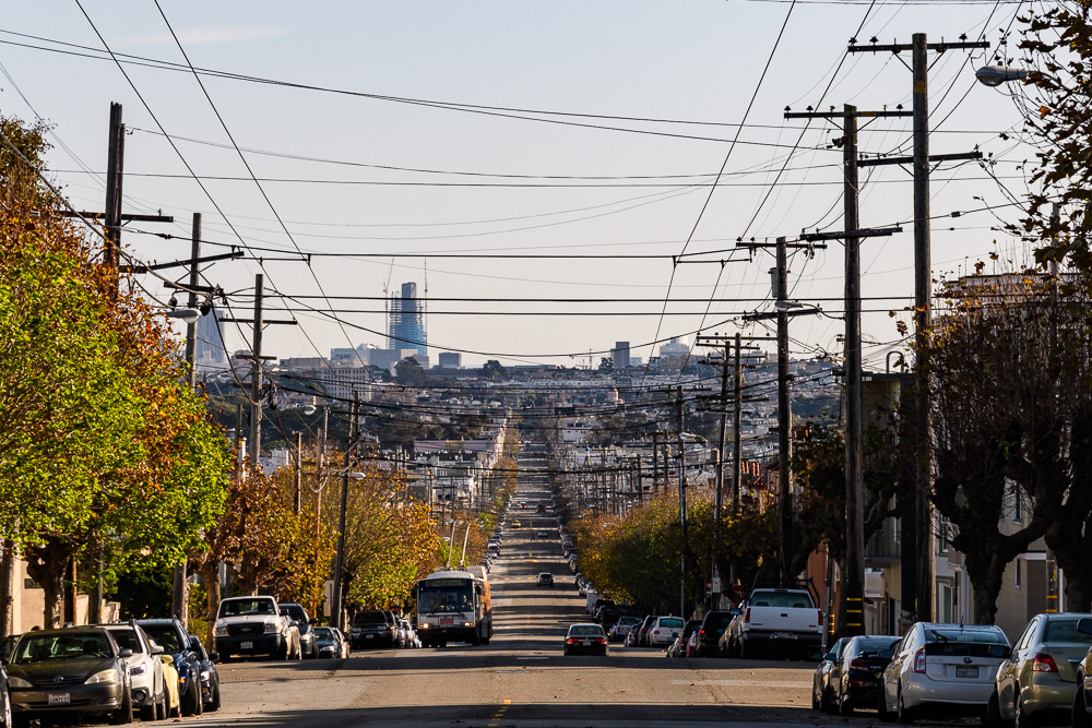
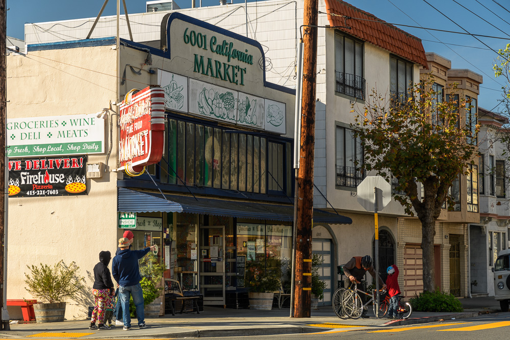
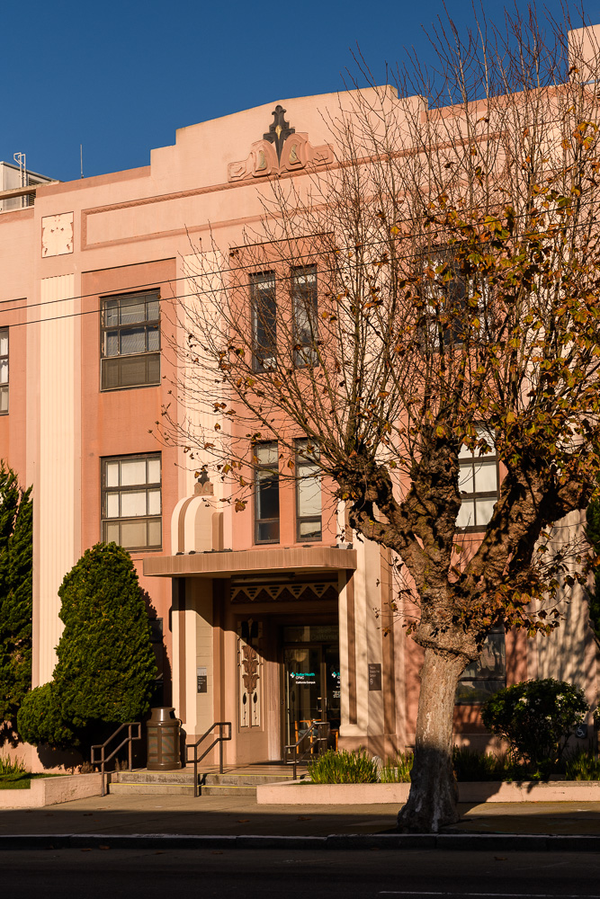
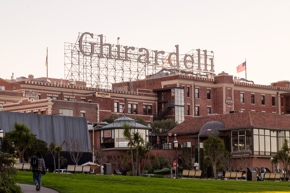
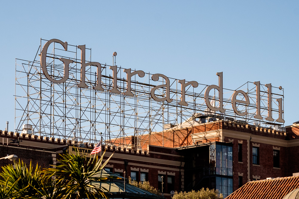
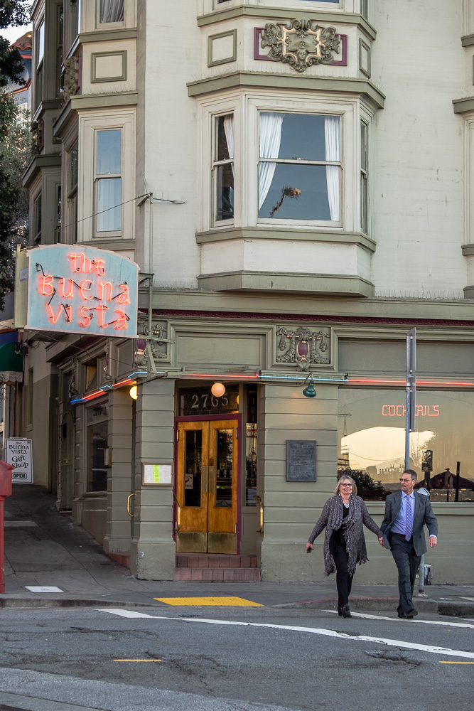
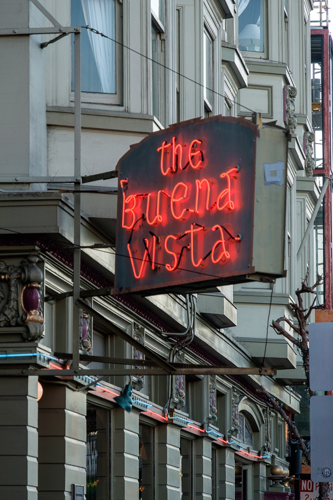
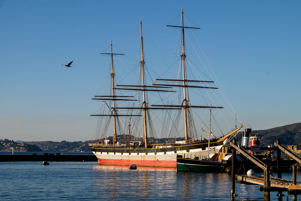
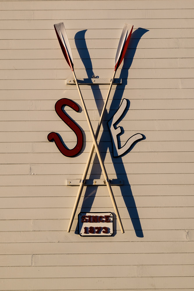
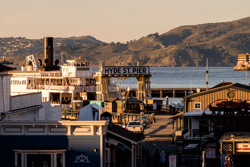
As with the Lincoln Highway’s original route in San Francisco, the 1928 route left Lincoln Park at El Camino del Mar but then immediately cut over to California St. Drivers took California all the way to Van Ness. Then a left, followed by a right on North Point (passing Ghirardelli Square) and then finally a left on Hyde Street, ending up at the Hyde Street Pier for the car ferry to Berkeley to get on the newer routing from Berkeley to the Carquinez Bridge. These are various photos along the way.
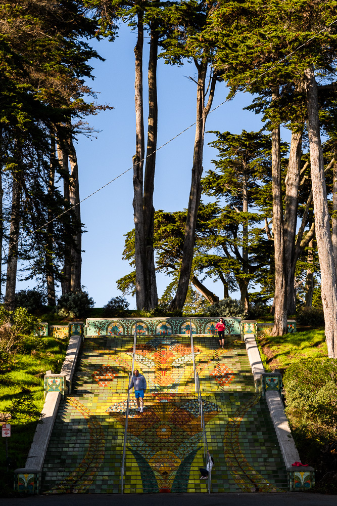
The colorful steps are the Lincoln Park Steps at the end of California where it meets Lincoln Park – read about them here and see the before-and-after shots.
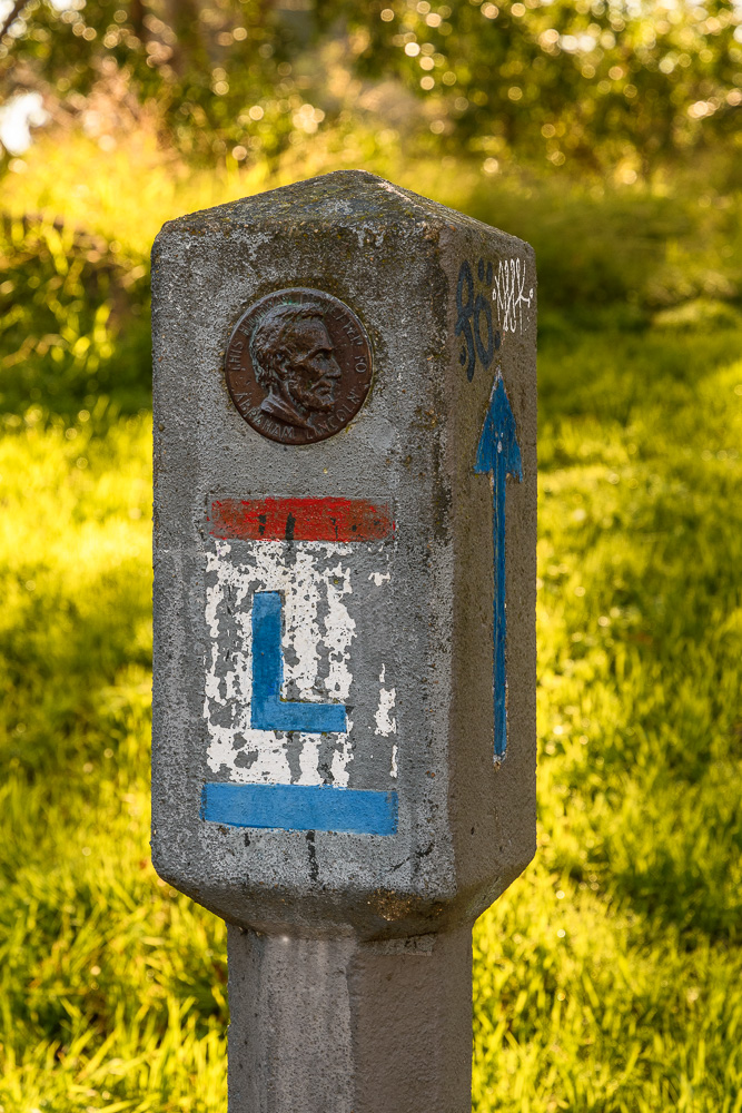
The concrete marker is original and is located on 14th St. (just before Park Presidio) at a bus shelter on the south side of California.
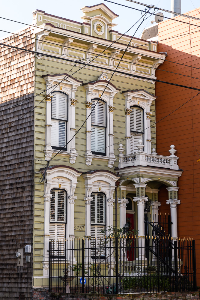
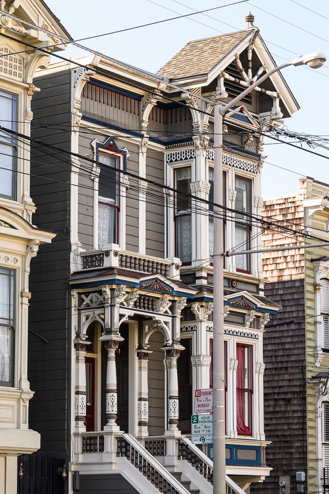
California St. cuts through neighborhoods with Victorians (including Lower Pacific Heights), although the heart of the preservation district with the greatest concentration of Victorians is several blocks away towards the Fillmore district. The two Victorians in this set are on California on the Lincoln Highway (it’s hard to shoot the Victorians on that street because of the overhead power lines for the 1 California bus and all the other lines and poles but, then again, that is how it actually looks on the drive). Eventually I will add a gallery with some more Victorians.
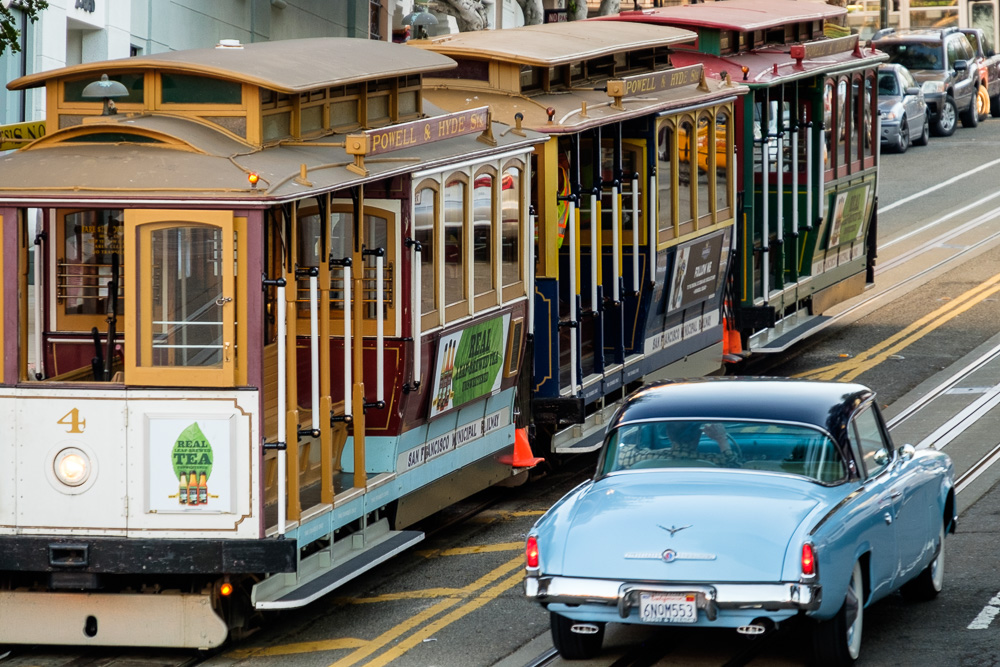
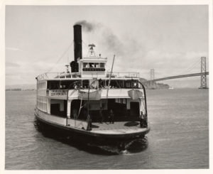
The Hyde Street cable car line ends pretty close to the old pier. That’s the “Berkeley” pictured above.

