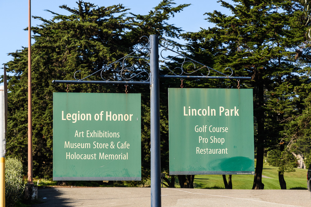
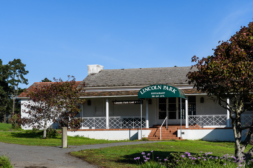
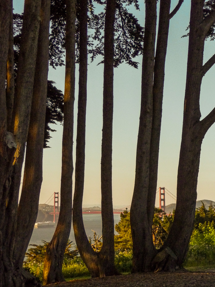
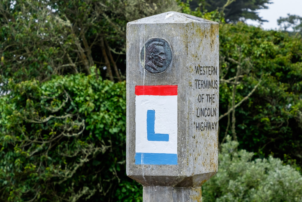
 The Western Terminus of the Lincoln Highway is in Lincoln Park, San Francisco.
In November 2016 on a Thanksgiving visit back home and earlier in the year in July during a summer stay, I retraced the Lincoln Highway routes in San Francisco, Oakland and elsewhere in the greater Bay Area. I did this in many cities I already knew very well (such as San Francisco, Oakland and Berkeley) and also in some not so well (Tracy, Vallejo and Fairfield, for example), always from a different vantage point, namely to see what is still left of the old road and historic buildings and sights (often with a modern twist).
What vestiges of the past can still be found along the route of the Lincoln there? How have the buildings been repurposed or otherwise changed? See for yourself – on the original (1913) route I will try to get posts up as far as Stockton, and on the 1928 route I will target getting us all to Vacaville (on the way to Sacramento).
Most of the shots in this post and in the following northern California posts were taken in July and November 2016, although there are also some taken earlier. Photographing California has been an ongoing passion for a long time, and I have some pix from earlier shoots I have also decided to include.
Let’s start where the Lincoln starts in San Francisco. The west-to-east journey on the Lincoln begins in Lincoln Park in San Francisco (or one’s long journey across country ends there). The original 1913 route and the later routes all started (or terminated, depending on one’s travel direction) there.
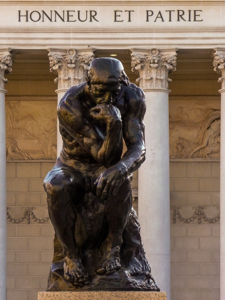
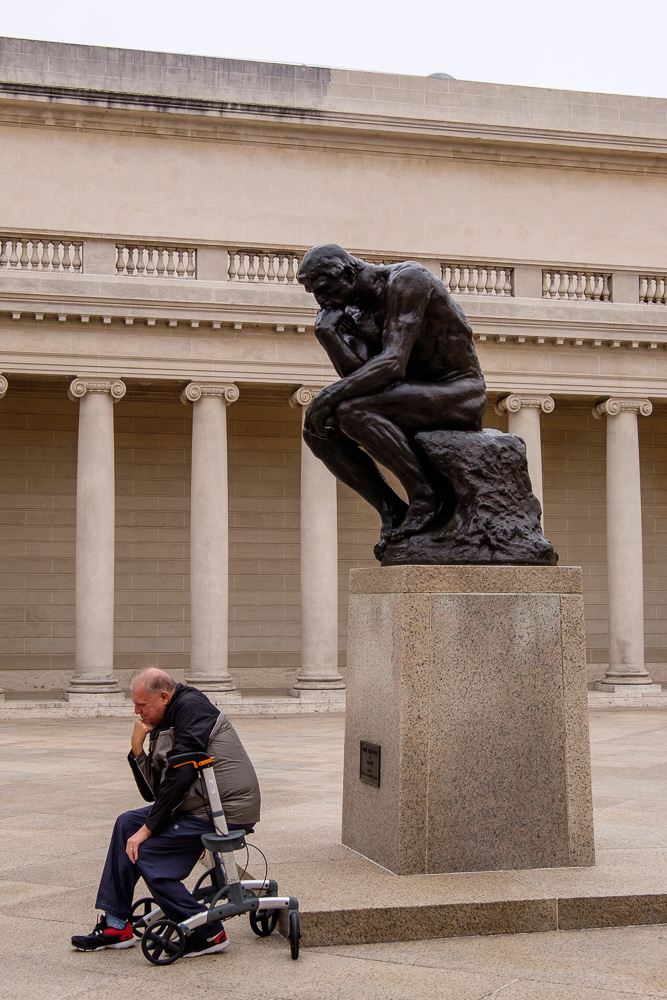
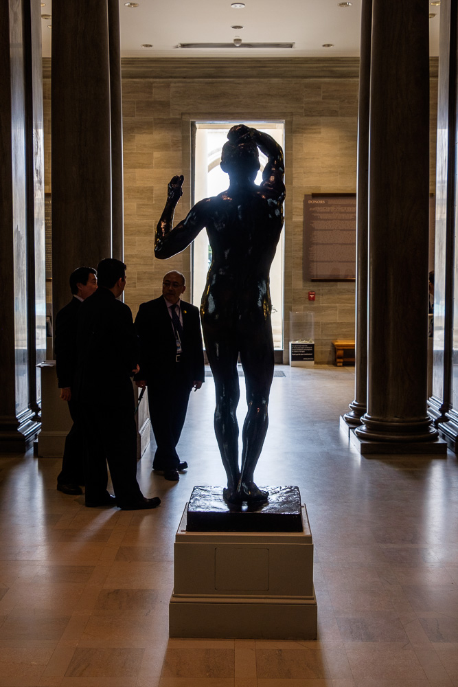
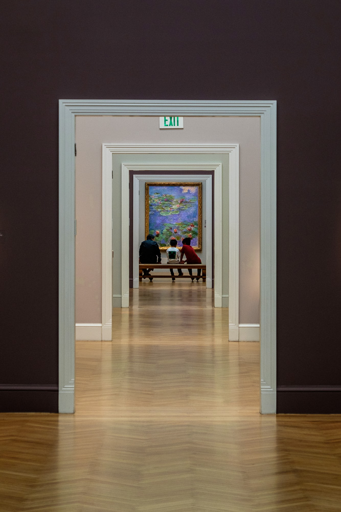
The Rodin “Thinker” at the Legion of Honor museum in the park is one of two castings along the Lincoln. It’s a fine museum. (The other casting on the Lincoln is at the Rodin Museum, in Philadelphia.) The Western Terminus marker (a reproduction) is there not too far away from the entrance to the museum.
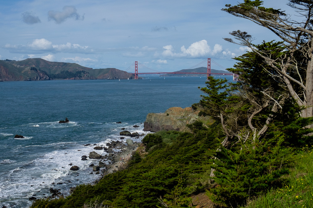
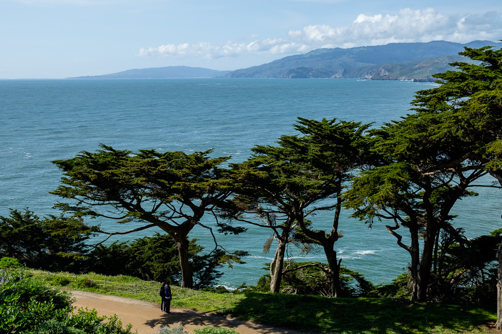
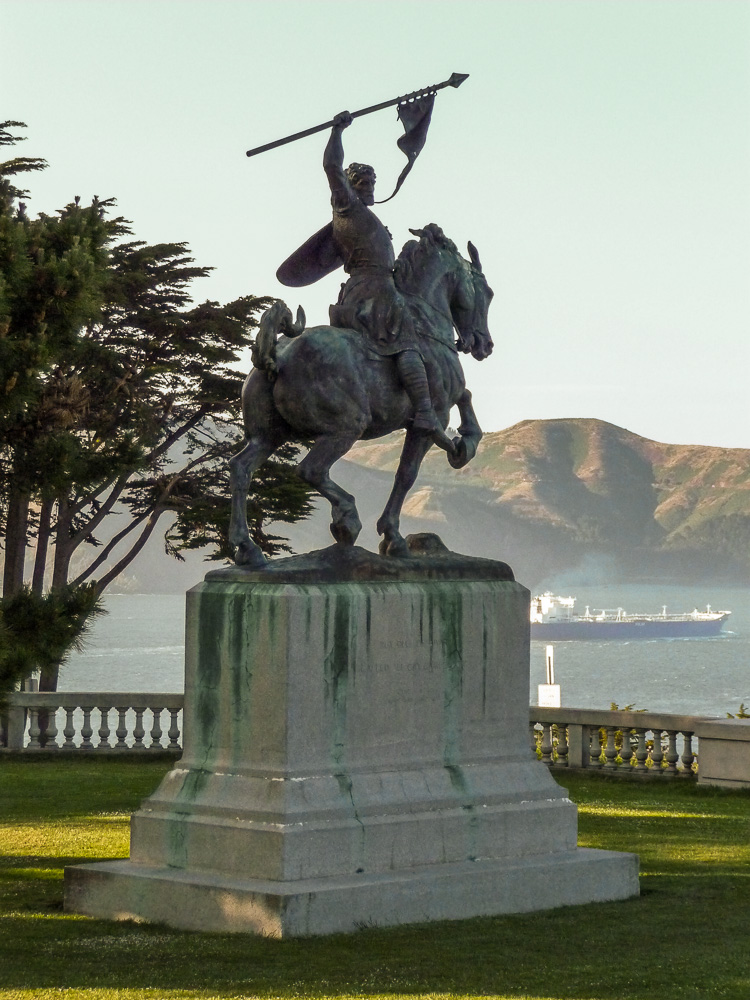
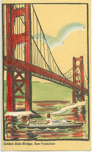
The views from the park are stunning.

