 Coloma to Tahoe.
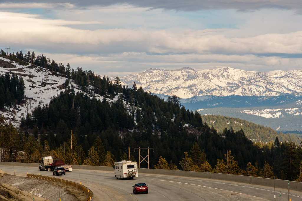
Continuing the eastward drive back in March I departed Placerville and the Pioneer Branch of the Lincoln Highway along today’s U.S. 50 to cut back over to the other Lincoln routing via Donner Pass to Lake Tahoe and Nevada (mostly on what is now I-80).
At Placerville, a north–south state highway, California State Route 49 (also known as the Gold Country Highway), meets U.S. 50, and that’s the route I took to get back over to I-80. Highway 49 is a fantastic drive through the heart of the “Mother Lode” (as the Gold Country is often called) and one I have returned to again and again over the years.
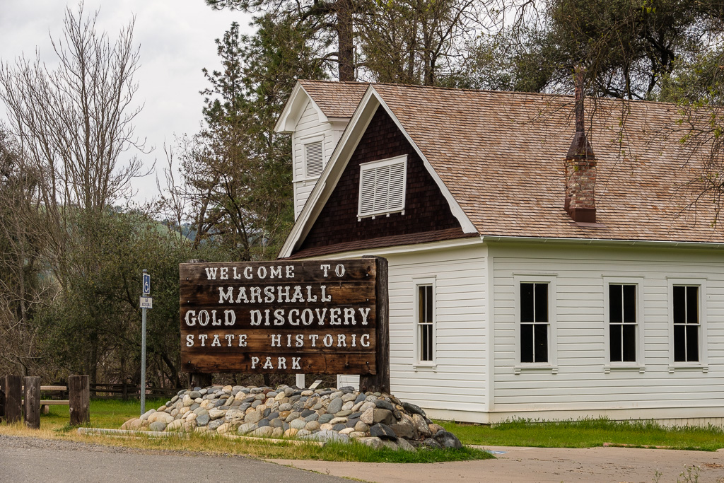
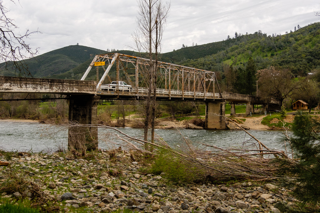
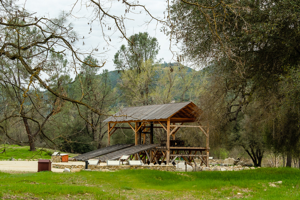
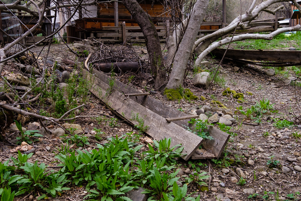
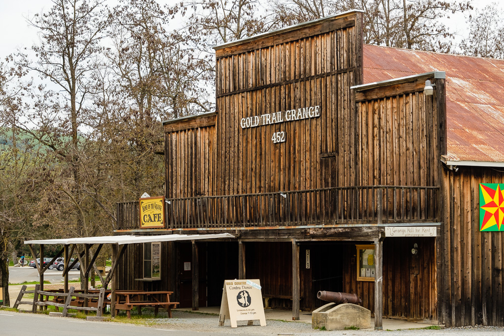
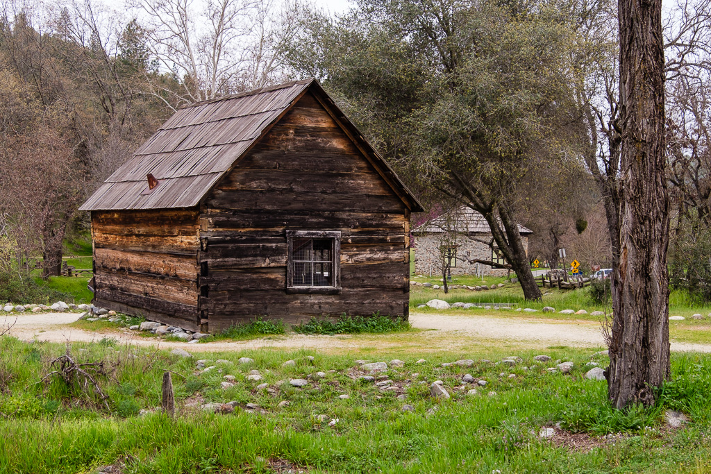
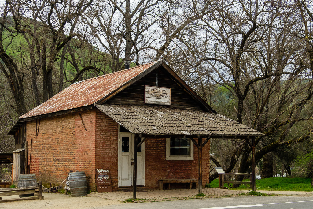
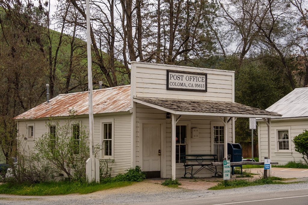
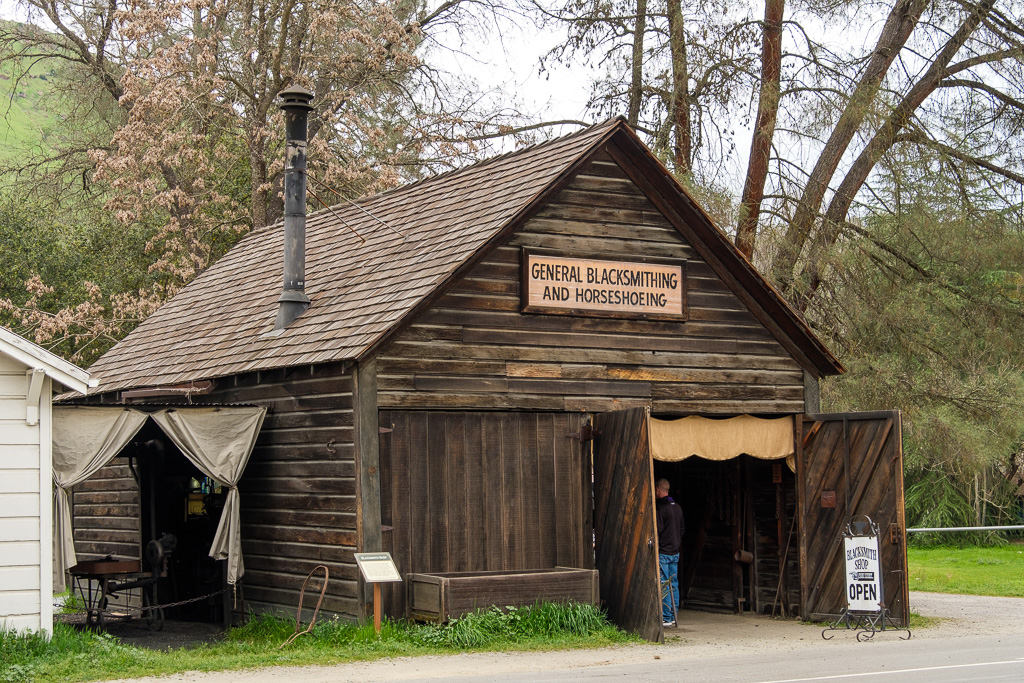
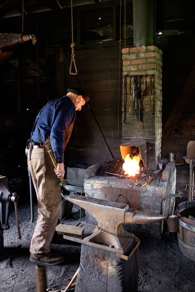
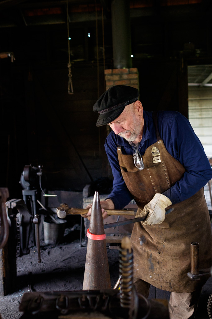
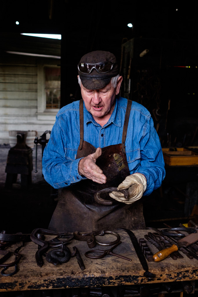
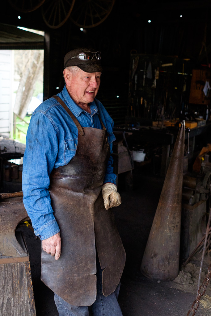
My first stop was Marshall Gold Discovery State Historic Park in Coloma which is the site of Sutter’s Mill where gold was first discovered by James W. Marshall in 1848, sparking the California Gold Rush. The mill there now is a replica, but there are otherwise a number of original and restored buildings.
There was indeed gold in those hills. Lots of it. I understand that there is still a lot there.
On a personal note, a distant uncle, Theodor Cordua, was there in California when gold was discovered and knew Swiss immigrant John Sutter, the owner of Sutter’s Mill. My great great grandmother was a Cordua. A German immigrant, Theodor Cordua had a huge land grant and is said to have been one of the richest persons in Mexican California. He came to California from Mecklenburg, Germany in 1842 (where my mother’s family lived until war’s end and the arrival of the Red Army in 1945 when Mecklenburg became the Soviet Occupation Zone). To be precise, the Grand Duchy of Mecklenburg-Schwerin (Großherzogtum Mecklenburg-Schwerin). The rest of the family stayed back in Germany and Denmark. He named his properties near today’s Marysville in the Sacramento Valley “New Mecklenburg” after his homeland. Until 1844 Cordua was the only European settler in the Upper Sacramento Valley. As was the case with his fellow immigrant Sutter, he lost it all after the Gold Rush and departed California almost as poor as when he arrived.
Click here if you would like to read the actual California diary of Great Great Great Uncle Theodor (translated from the German), a fascinating contemporary document about that hugely important period in California’s history leading up to and including the Gold Rush during its final years as part of Mexico. (I am not sure if I have those “greats” right but I think it is three.) The complete memoirs were published in Germany as “Von Mecklenburg nach Übersee – Mitteilungen aus meinem Leben als Kaufmann und Reeder 1796 bis 1857”, Theodor Cordua, Verlag Die Hanse, Hamburg 2001. If you are interested in California history, this is quite a read, whether in English or German. The English version is on a family history website maintained by a distant Cordua family cousin. German speakers: there’s more background here and here.
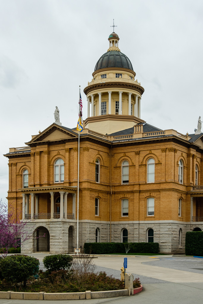
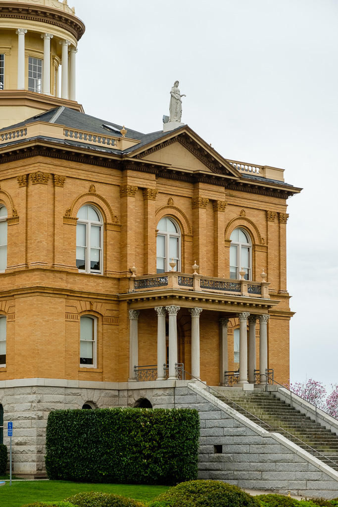
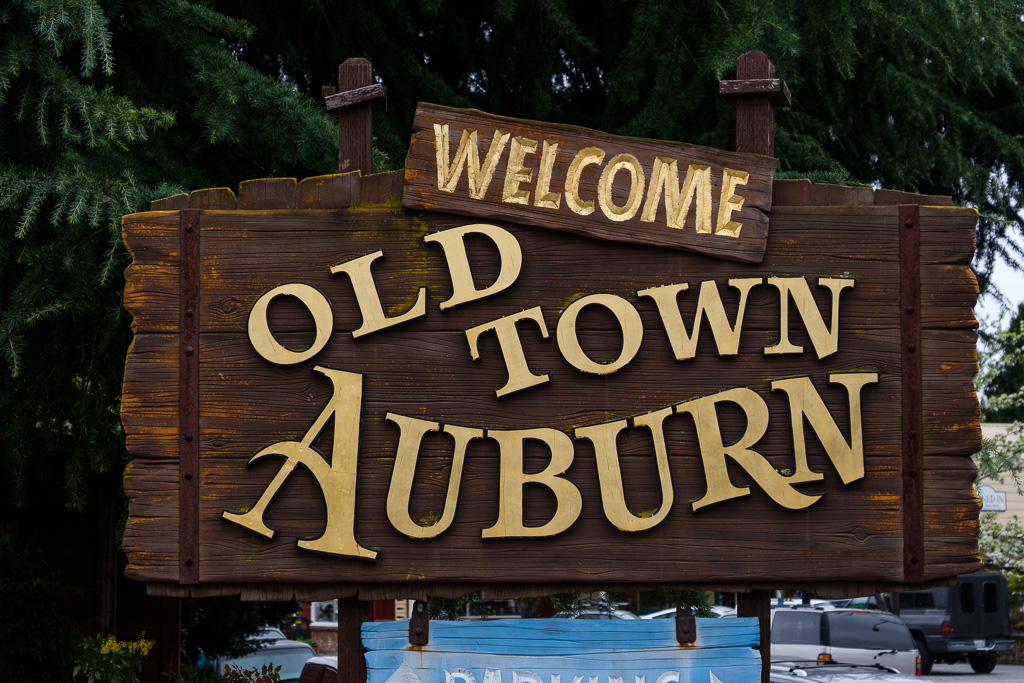
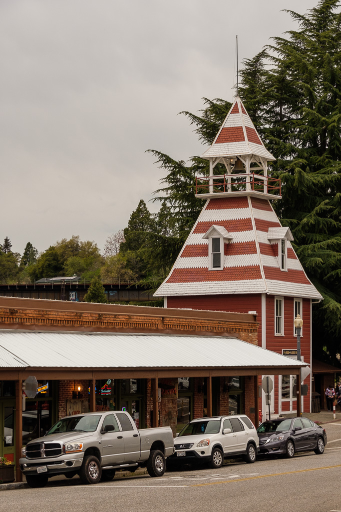
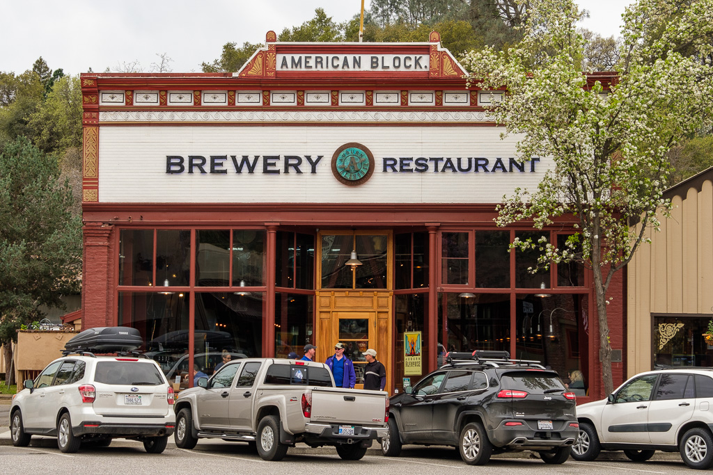
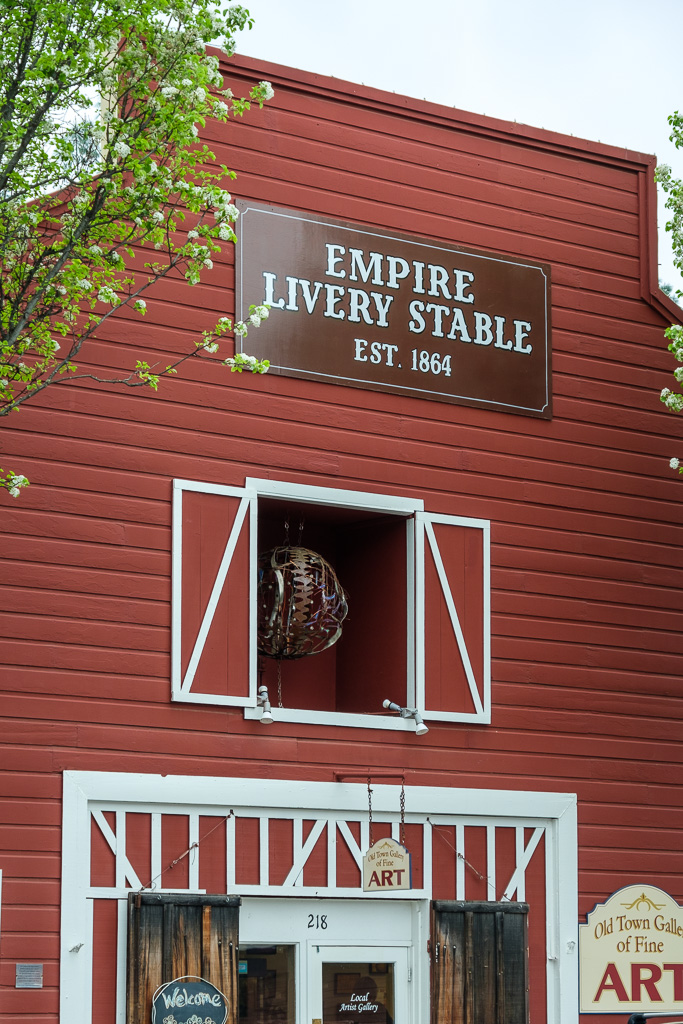
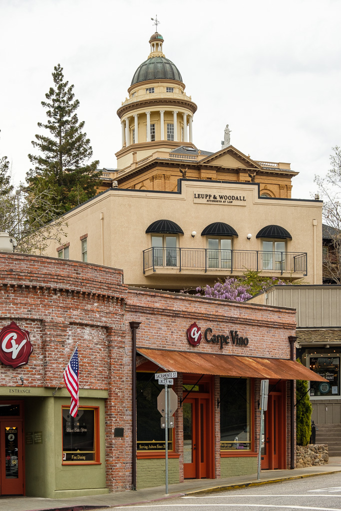
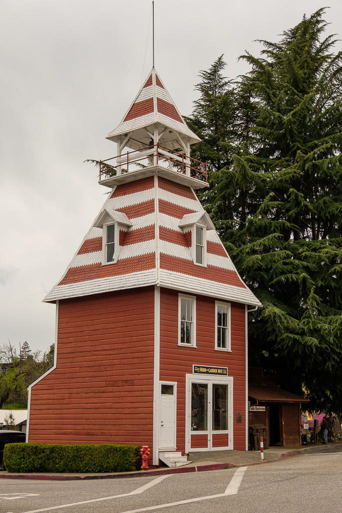
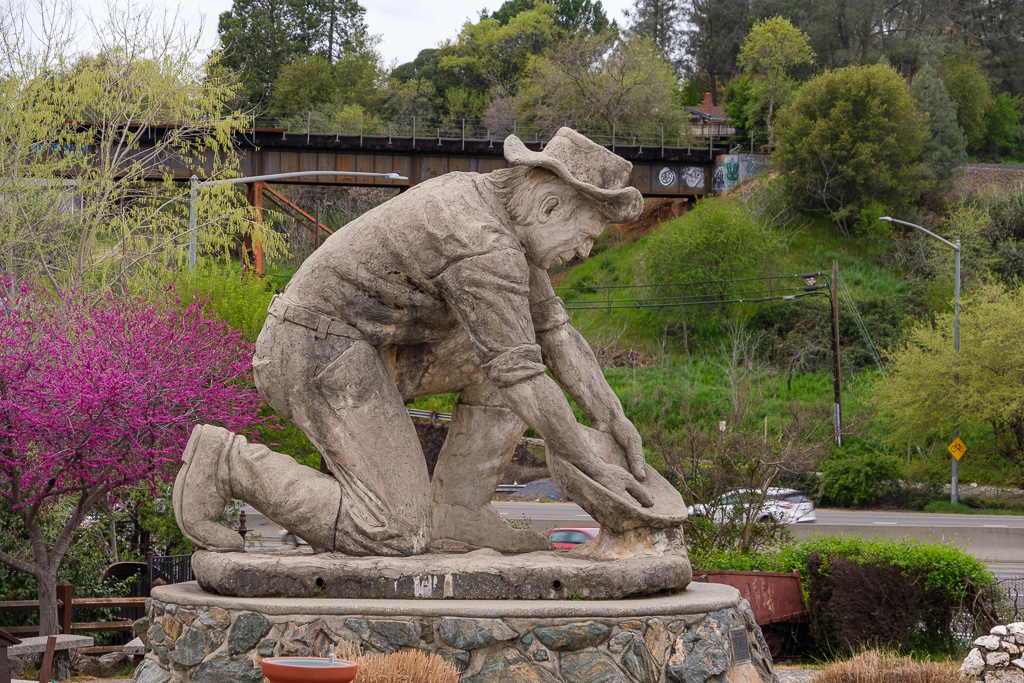
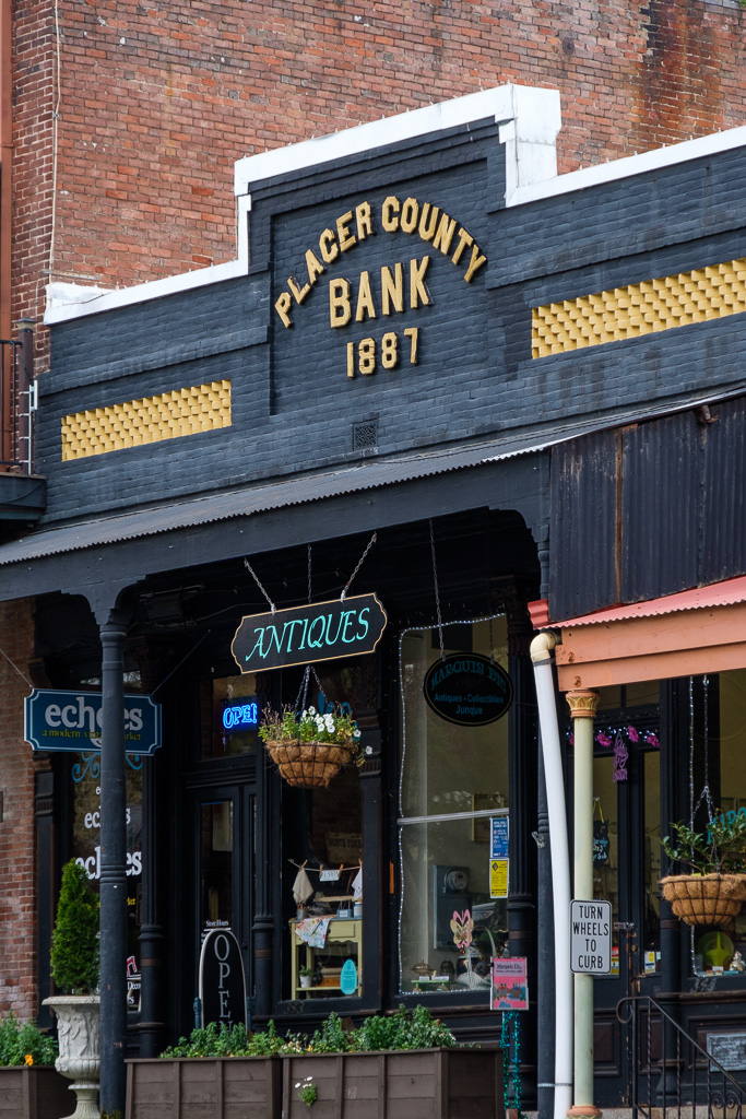
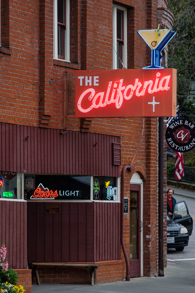
I digress again. After Coloma my next stop was another Mother Lode city on SR 49, Auburn. There is a beauty of a courthouse towering over the city. The Old Town area is great fun (complete with Gold Miner statue); it’s one of California’s oldest historic districts. I wanted to have a drink at The California which seemed to be a classic dive, but I needed to drive…it’s a rule I followed the whole trip (and otherwise follow): no drinking and driving. A good rule.
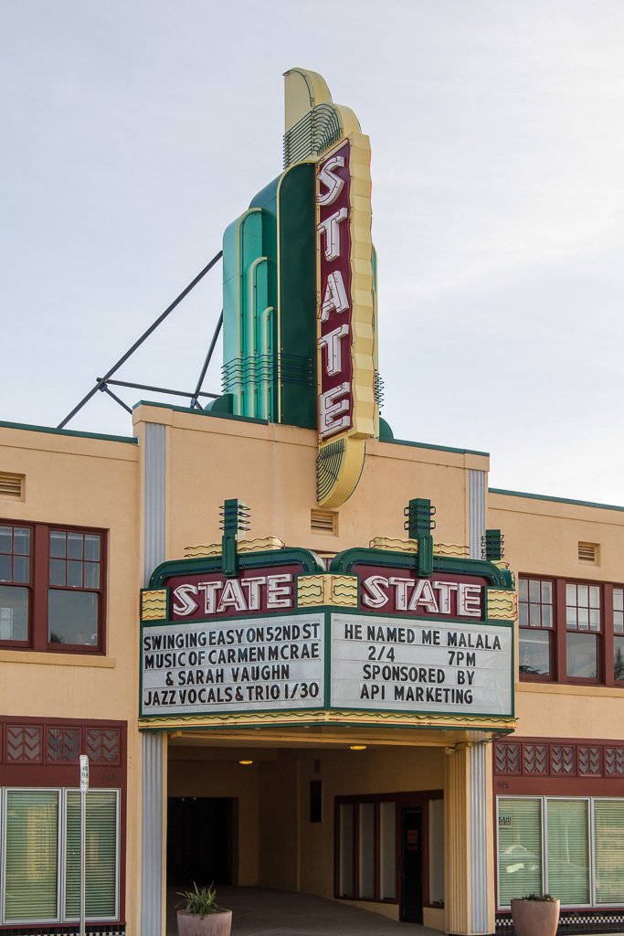
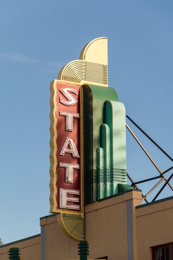
The deco State Theater in Auburn dates back to 1930 and survives (yay!); it’s now a fully restored performing arts center (the Auburn Placer Performing Arts Center, to be precise).
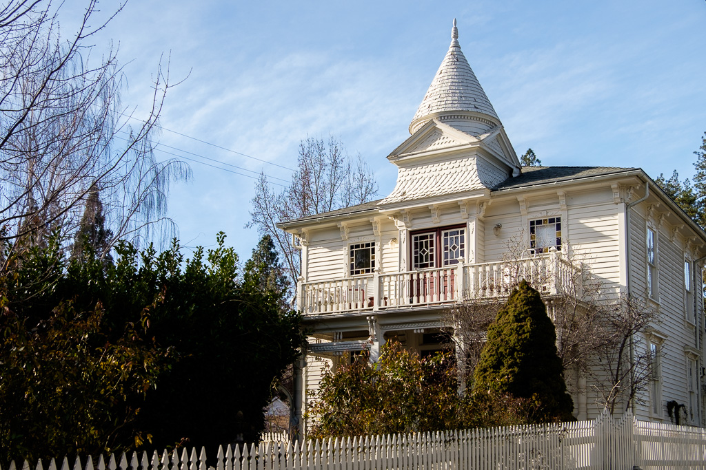
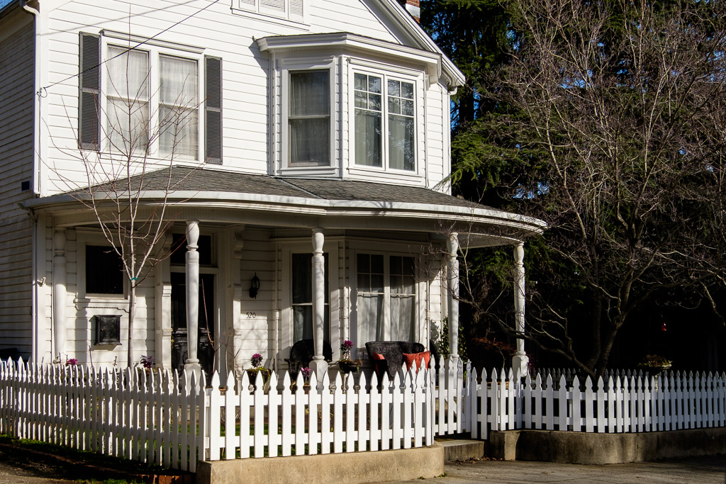
In March I got on I-80 after the stop in Auburn. In this set, however, we are going to make two additional brief stops in Grass Valley and Nevada City along SR 49 not too far north of I-80. The photos are from January 2016.
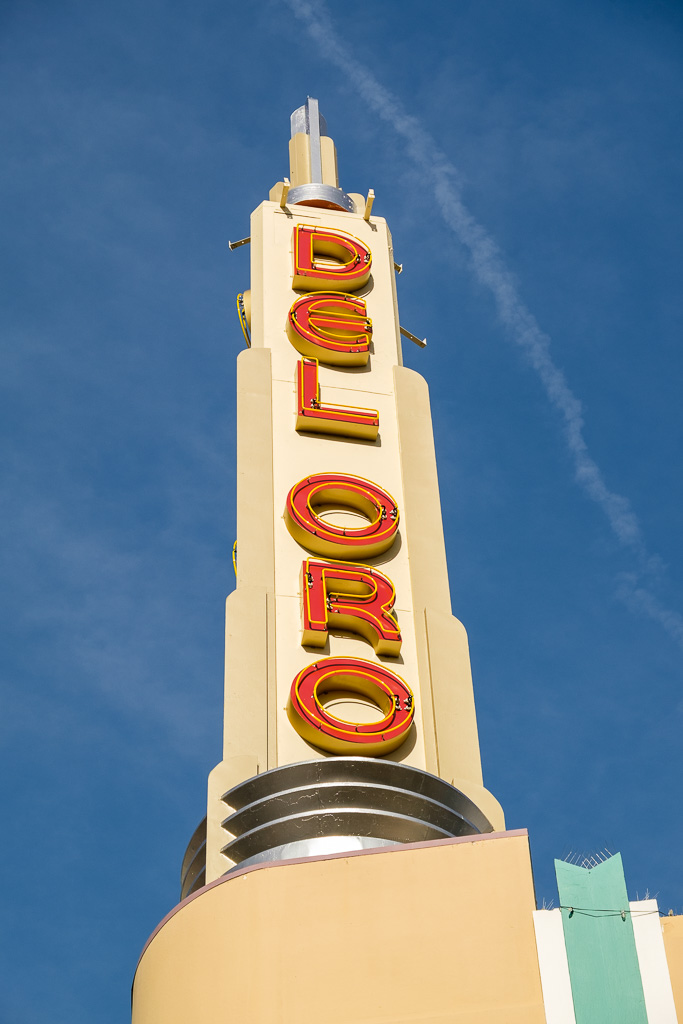
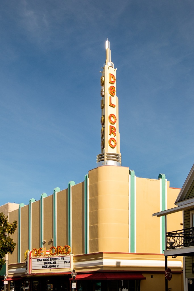
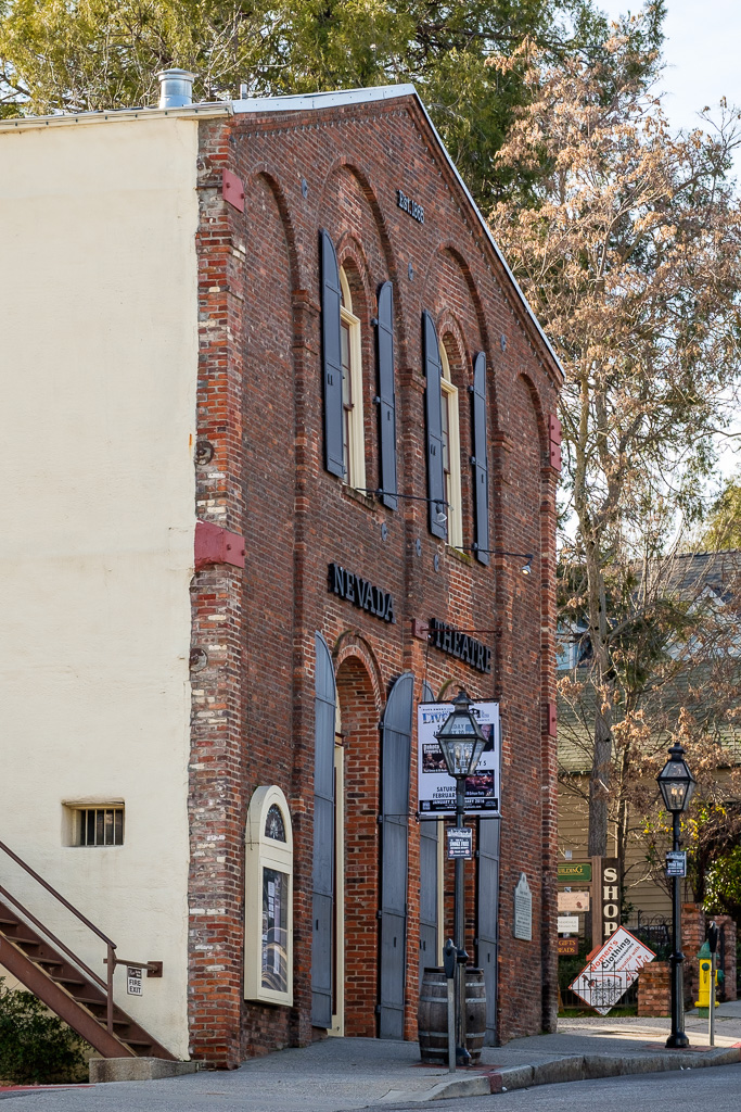
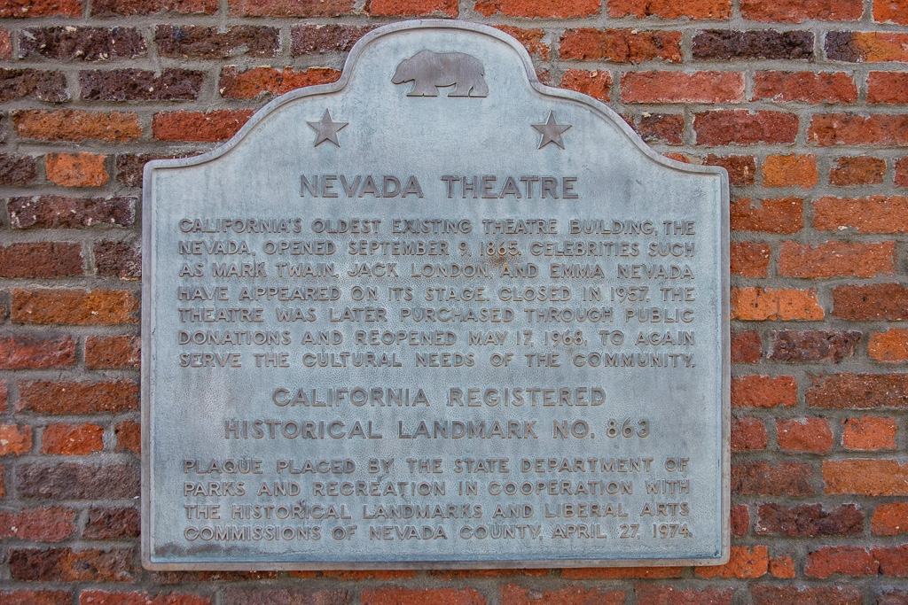
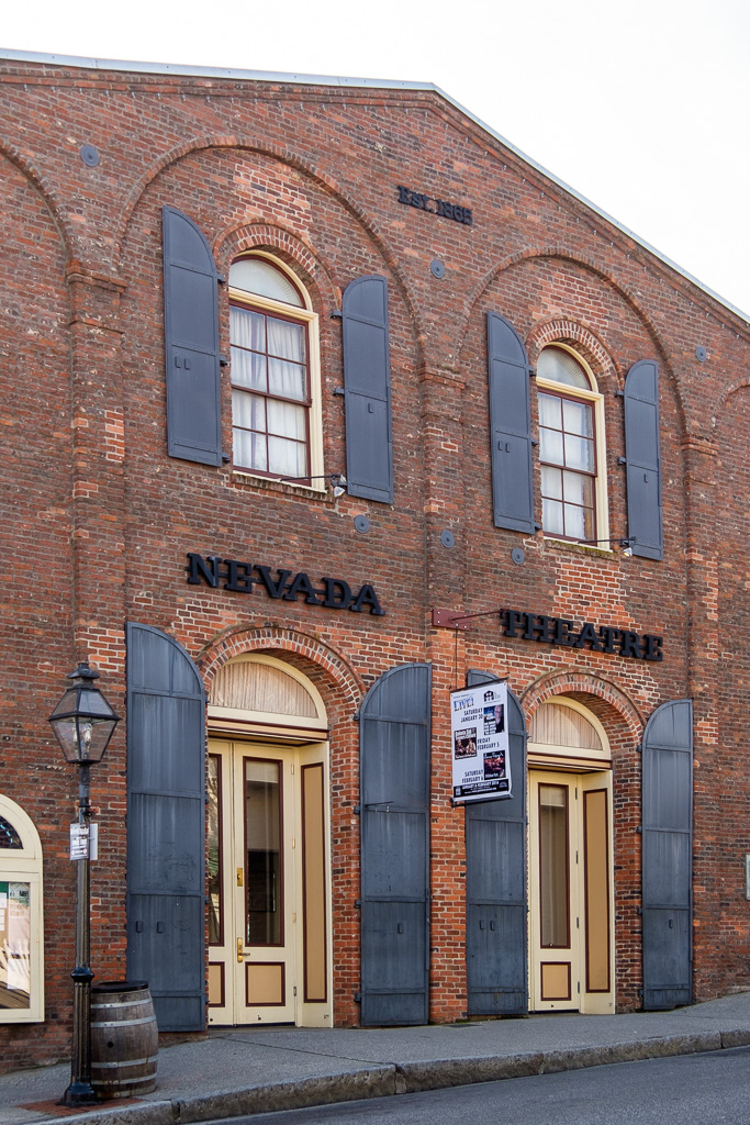
First, two shots of our final California art deco movie theater and another notable survivor, the Del Oro (1942) in Grass Valley, with its striking Deco Moderne neon tower. Next, a grouping of photos taken in Nevada City. Did you know that the Nevada Theatre (1865) in Nevada City is California’s oldest existing theater building and also the oldest existing theater building on the entire west coast that continues to operate as a theater? Now you do…
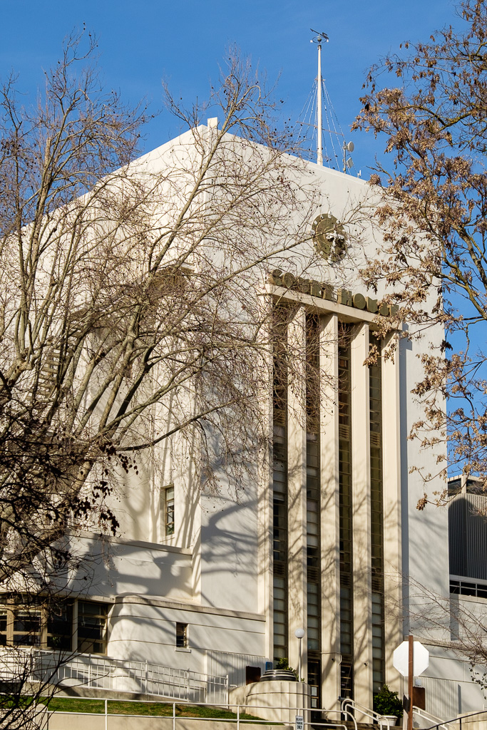
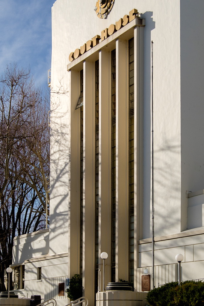
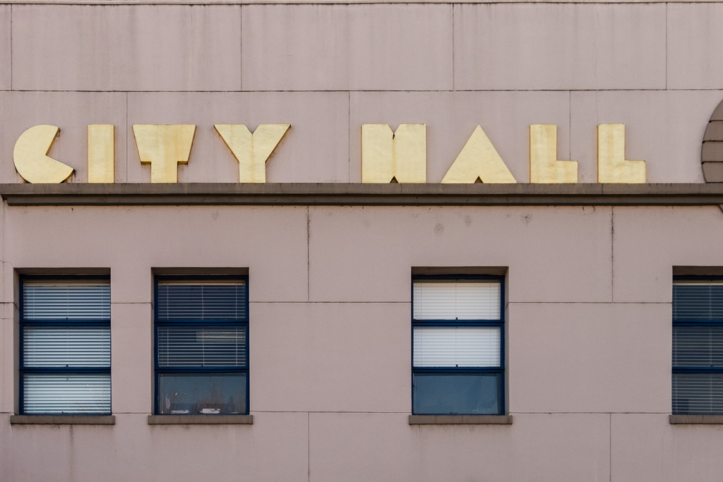
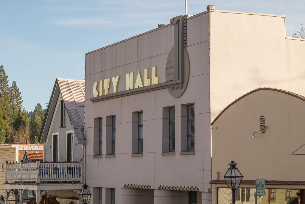
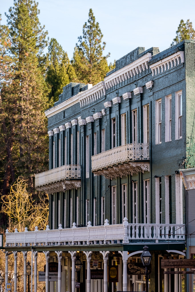
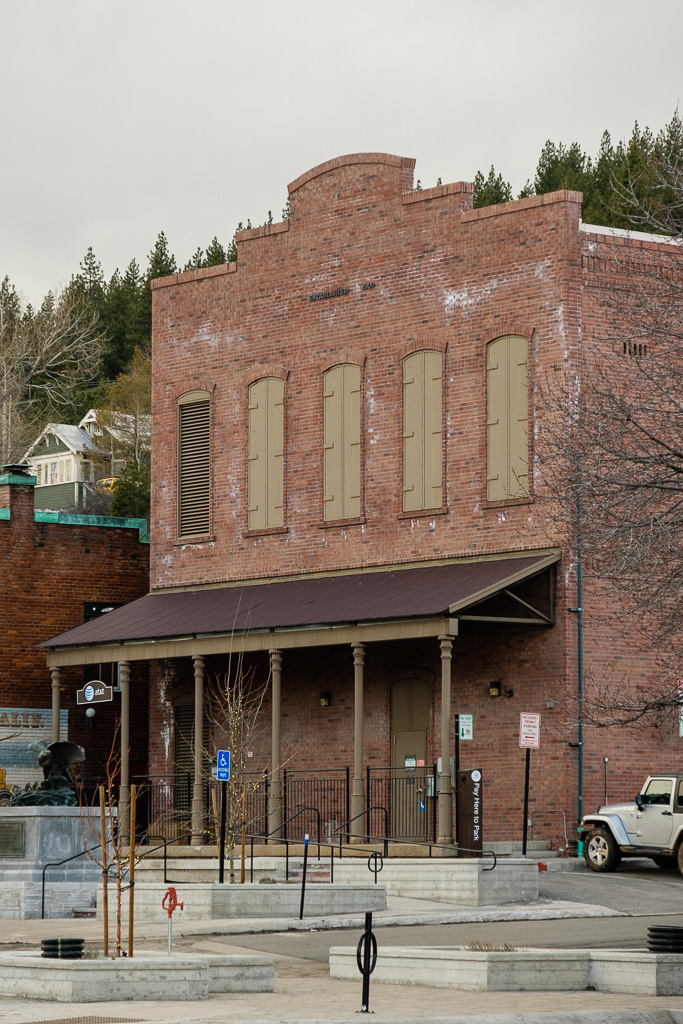
Mixed in with the many fine surviving 19th century and early 20th century historic buildings in the Nevada City Downtown Historic District are two striking (and somewhat out of place) art deco buildings – the facades on the court house in Courthouse Square and city hall on Broad Street which were done as Works Progress Administration (WPA) projects in the 1930s.
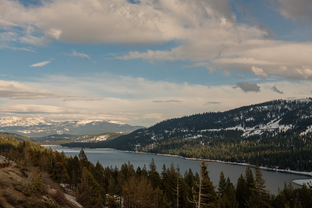
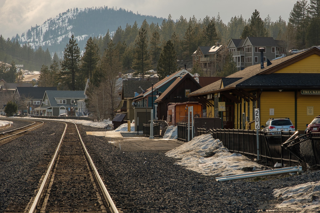
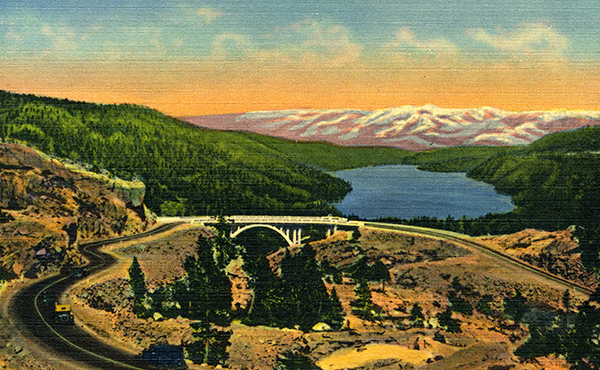
Back to I-80 now and my March drive. After Auburn I headed for my next stop, historic Truckee, with a stop along the way for the view of Donner Lake. The pre- I-80 Lincoln Highway had various routings over Donner Pass. It started out using the old Donner Lake Wagon Road. Eventually it was re-routed to go across the graceful Donner Summit Bridge (also called the Rainbow Bridge), built in the 1920s and still standing (having been rehabilitated in 1996). That routing became U.S. Route 40. Back in March I passed on that routing for time- and weather-related reasons.
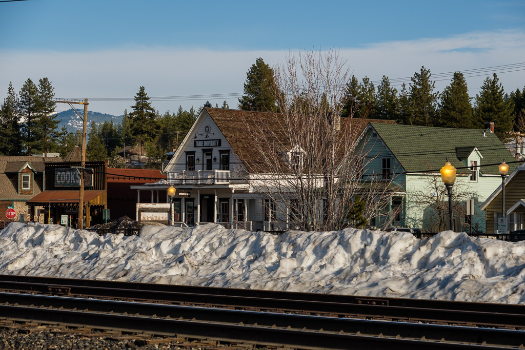
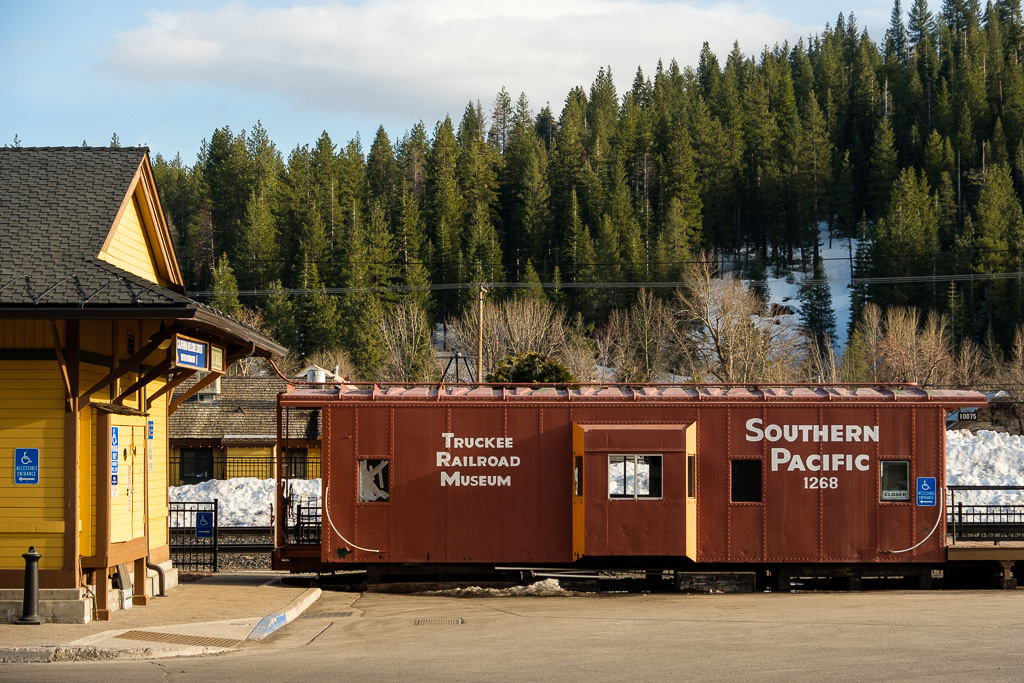
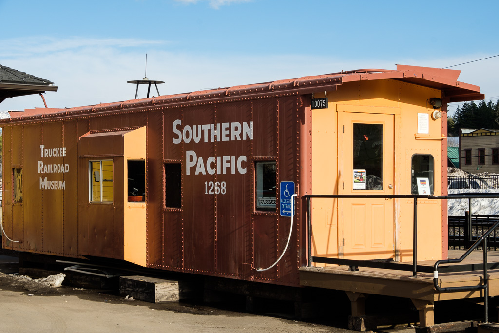
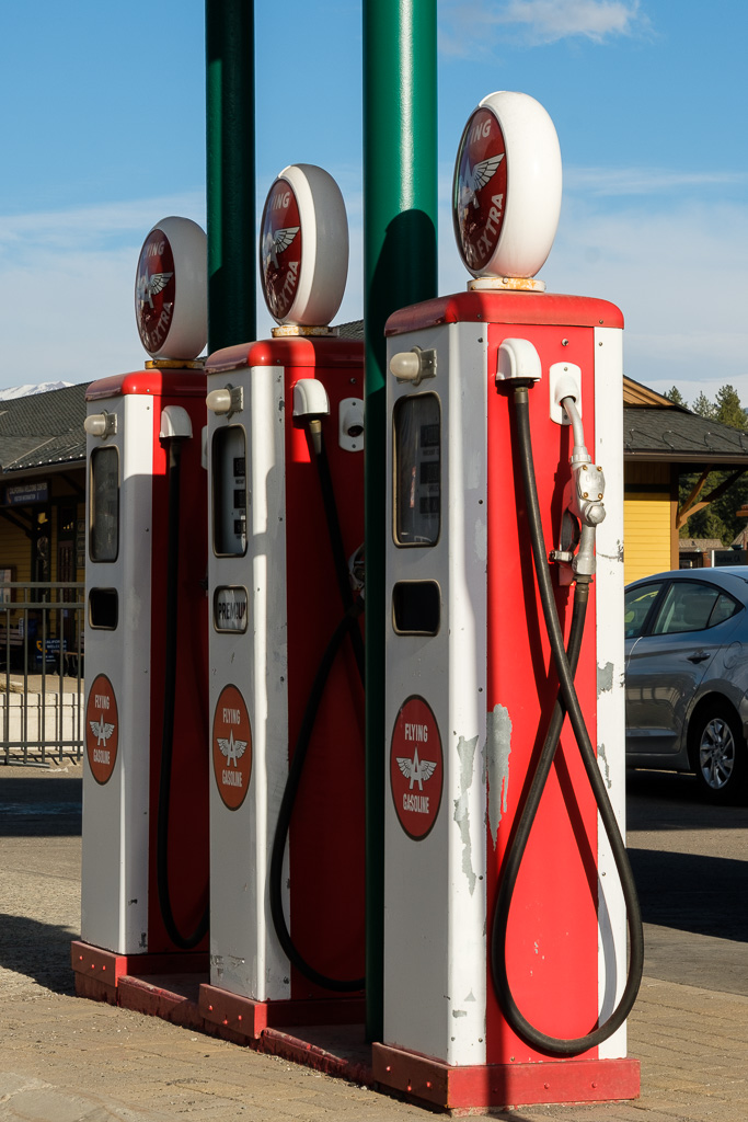
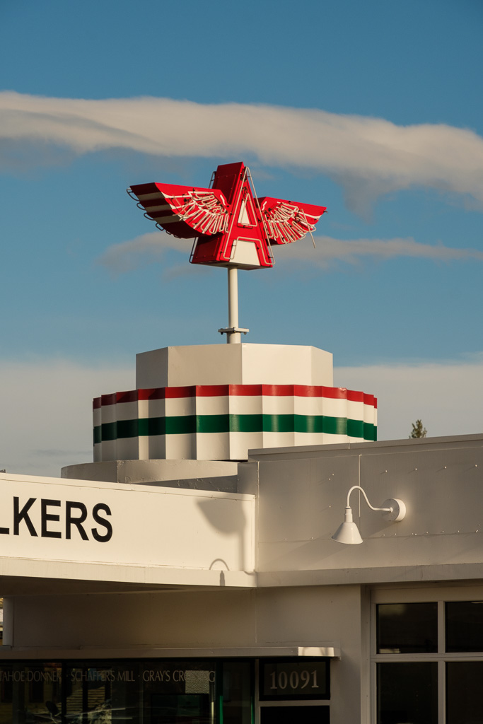
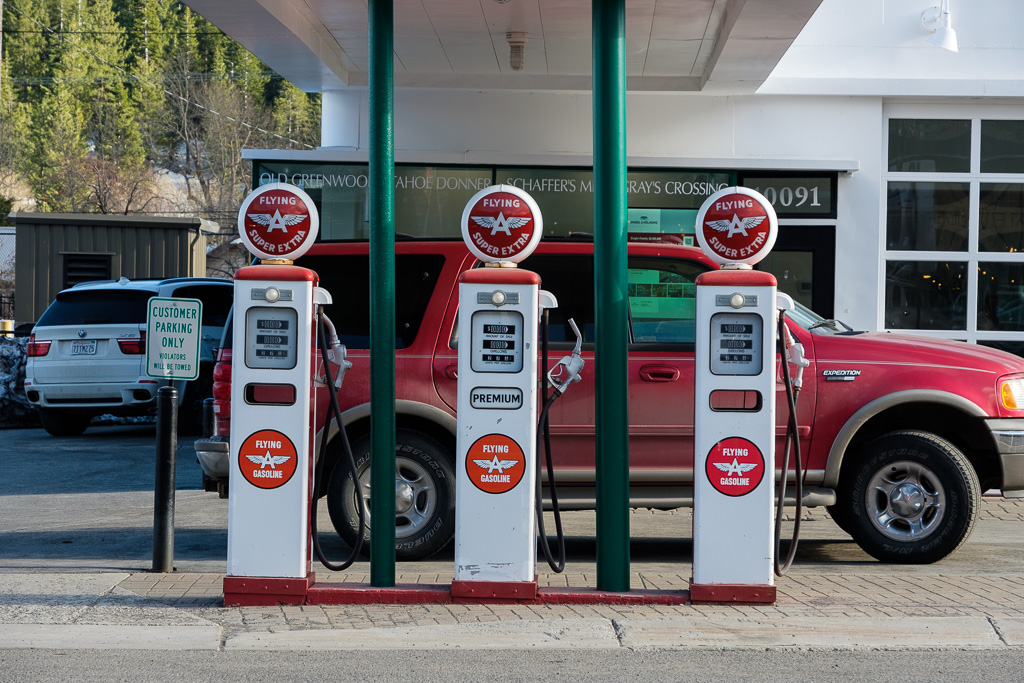
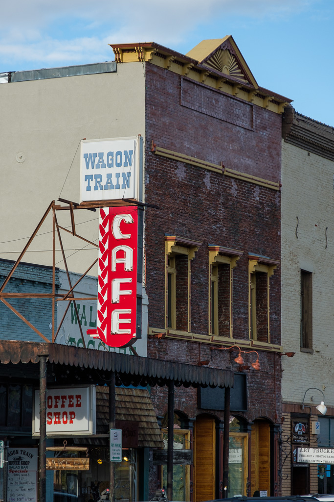
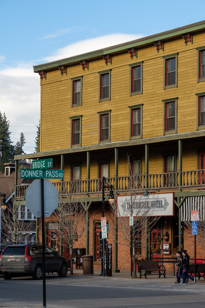
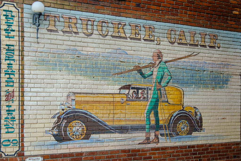
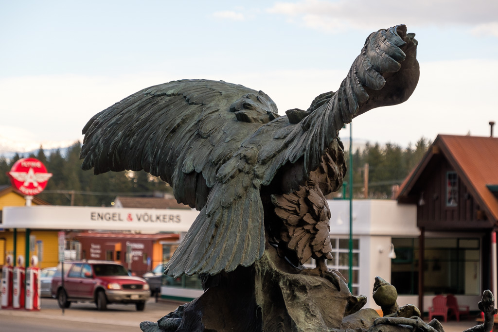
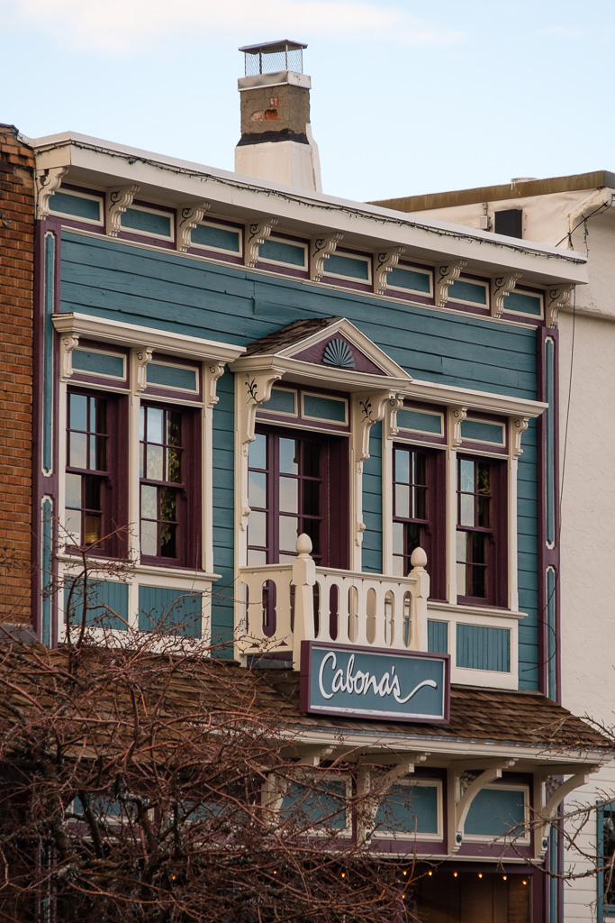
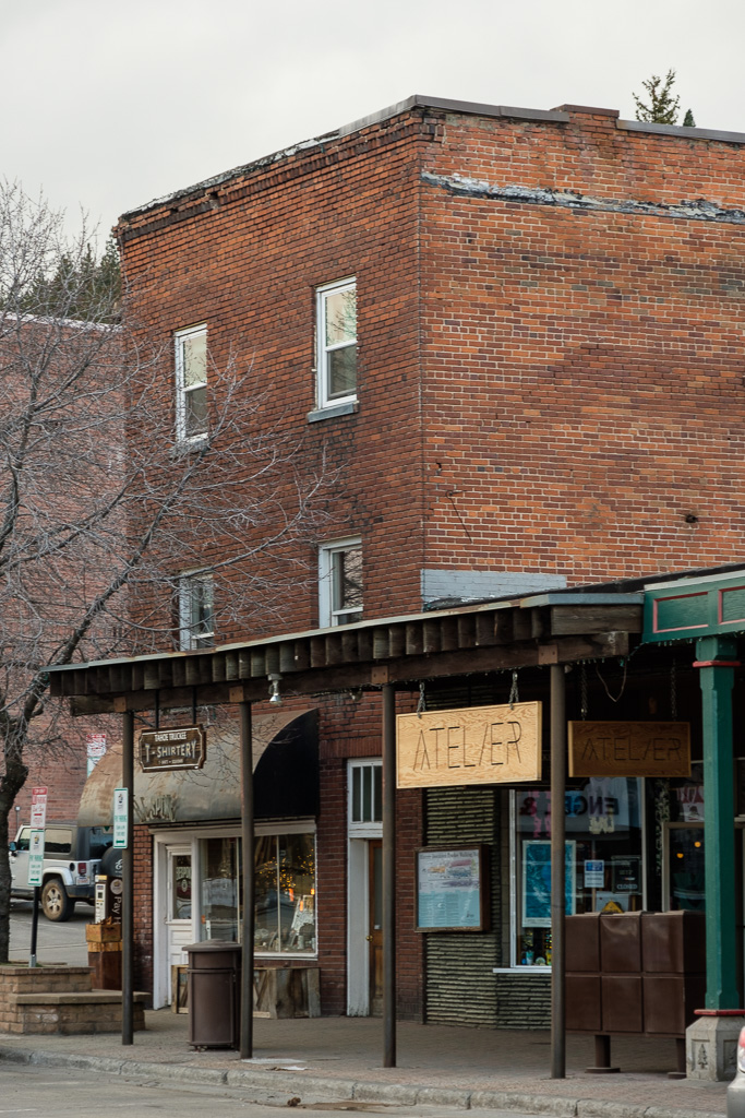
The historic Truckee downtown is always an enjoyable stop. Notice the surviving “Flying A” station? Long ago – a lifetime ago – we had a Flying “A” station on the corner near our house in Berkeley, California, complete with coin operated flying horse ride.
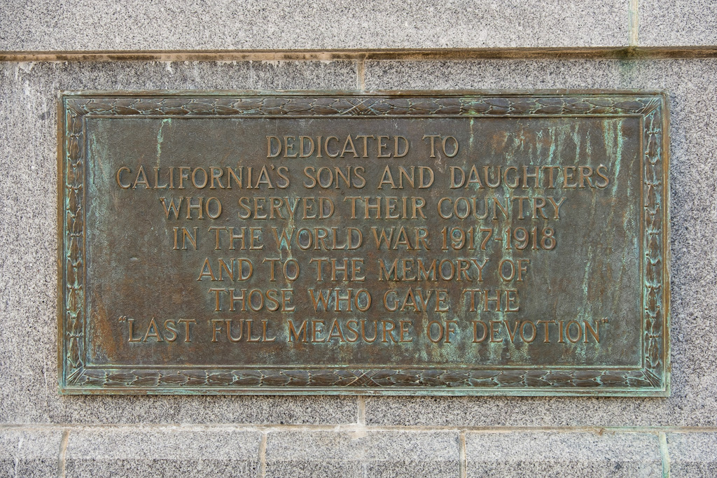
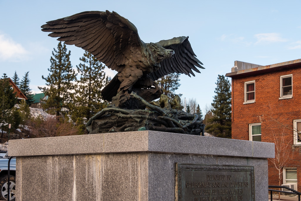
Note also the almost 90 year old restored Victory Highway Eagle Monument honoring America’s WW I veterans. According to what I have read, it was originally intended that these monuments (featuring a bronze bald eagle protecting her two nestlings on her aerie) would be placed at every United States county line along the transcontinental “Victory Highway” (old U.S. Highway 40). Once the Great Depression hit, the project apparently fell by the wayside; as I understand it, only six monuments were made. In a few posts when we get to our last stop in Nevada, in West Wendover at the Utah border, we’ll see another Victory Highway monument.
From Truckee I headed down to Lake Tahoe and the warm hospitality of friends in Incline Village, Nevada. (Thank you again, Chris and Marsha.) The word “warm” is a good word to use here. I have never in my life seen snow banks like I did back in March at Tahoe. The snowfalls in the Sierra 2016/2017 were epic.
California was a wrap.
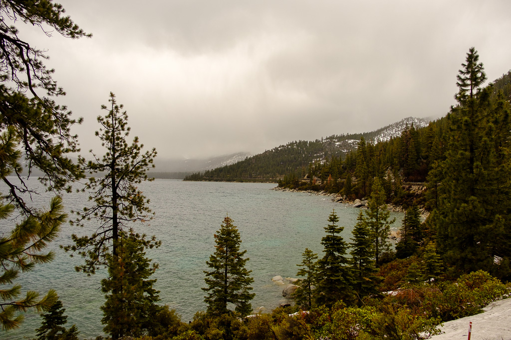
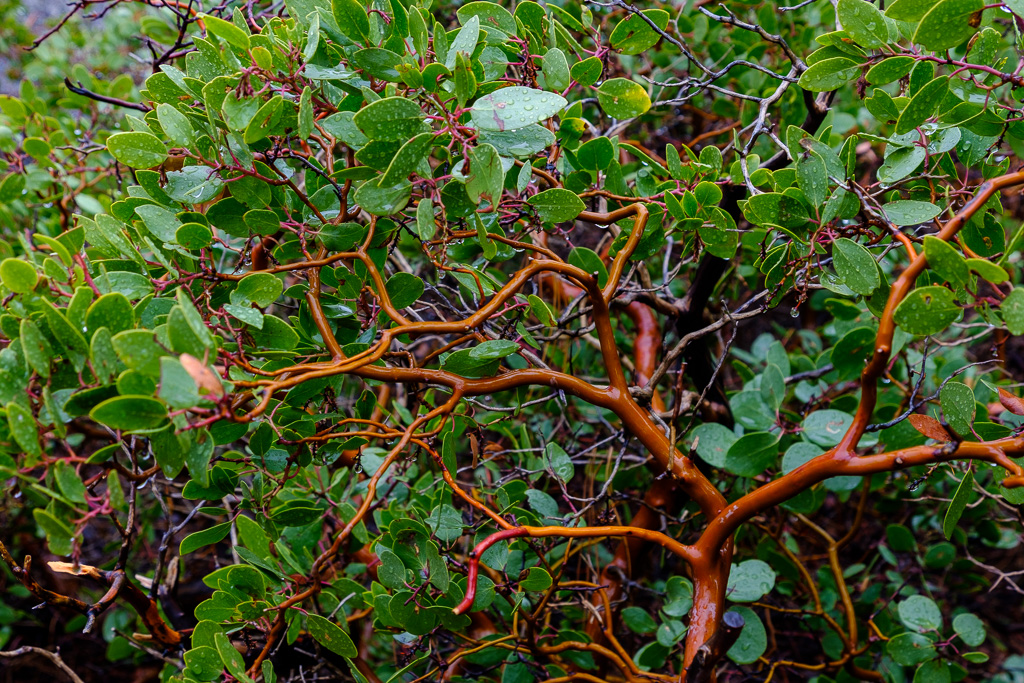
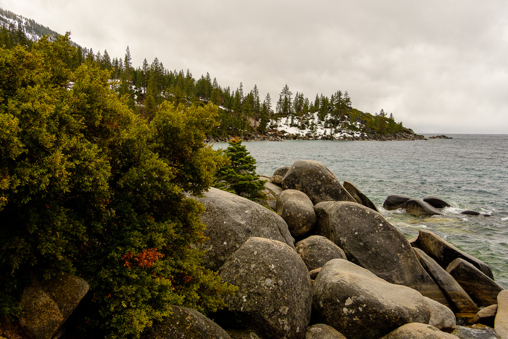
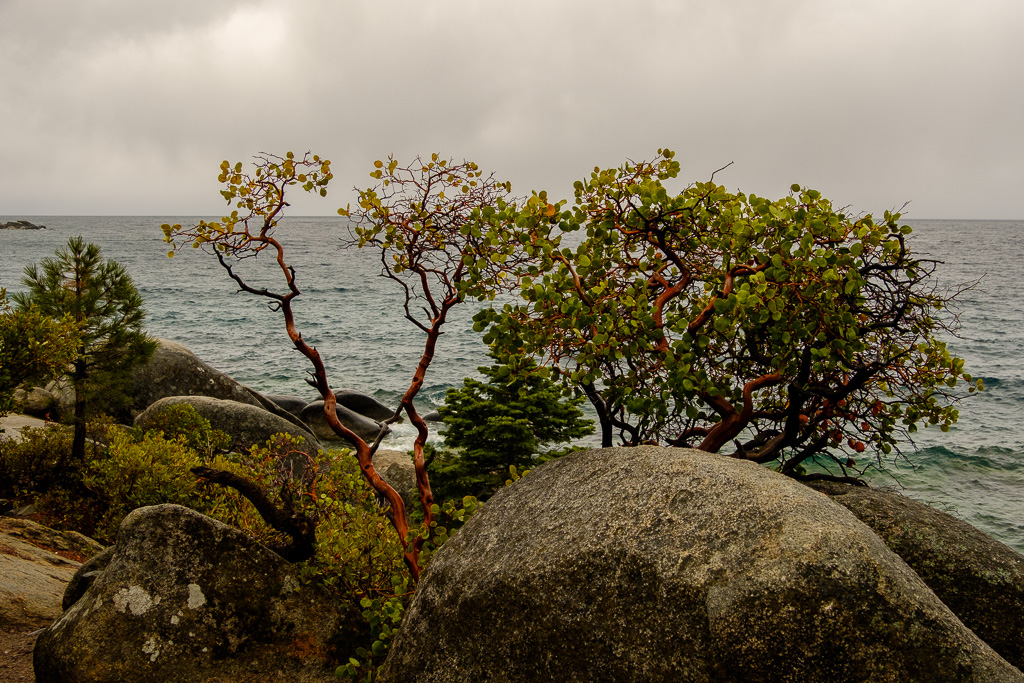
The final three pix were taken on the Nevada side of Lake Tahoe on a cold and stormy late winter day at Memorial Point Overlook, on Highway 28 between Incline Village and Sand Harbor (the first shot is looking towards Crystal Bay). That is one big lake. That’s greenleaf manzanita (Arctostaphylos patula) in the pictures by the lake which is very common in the Sierra Nevada.
From Highway 28 I rejoined U.S. 50 and the path of the Lincoln Highway over Spooner Summit to Carson City through the first of many snowfalls to come as I worked my way eastward…yup, that rain at the lake soon became a very healthy amount of snow.

